5627 E State Road 231 Crown Point, IN 46307
Estimated Value: $320,000 - $400,000
3
Beds
2
Baths
1,568
Sq Ft
$221/Sq Ft
Est. Value
About This Home
This home is located at 5627 E State Road 231, Crown Point, IN 46307 and is currently estimated at $347,002, approximately $221 per square foot. 5627 E State Road 231 is a home with nearby schools including Lake Street Elementary School, Robert Taft Middle School, and Crown Point High School.
Ownership History
Date
Name
Owned For
Owner Type
Purchase Details
Closed on
Nov 17, 2010
Sold by
Elish Dawn R
Bought by
Helfrich Regina L
Current Estimated Value
Home Financials for this Owner
Home Financials are based on the most recent Mortgage that was taken out on this home.
Original Mortgage
$90,000
Outstanding Balance
$58,844
Interest Rate
4.17%
Mortgage Type
New Conventional
Estimated Equity
$288,158
Purchase Details
Closed on
Feb 19, 2006
Sold by
Helfrich Regina L
Bought by
Elish Dawn R
Create a Home Valuation Report for This Property
The Home Valuation Report is an in-depth analysis detailing your home's value as well as a comparison with similar homes in the area
Home Values in the Area
Average Home Value in this Area
Purchase History
| Date | Buyer | Sale Price | Title Company |
|---|---|---|---|
| Helfrich Regina L | -- | Fidelity Cp | |
| Elish Dawn R | -- | Chicago Title Insurance Co |
Source: Public Records
Mortgage History
| Date | Status | Borrower | Loan Amount |
|---|---|---|---|
| Open | Helfrich Regina L | $90,000 |
Source: Public Records
Tax History Compared to Growth
Tax History
| Year | Tax Paid | Tax Assessment Tax Assessment Total Assessment is a certain percentage of the fair market value that is determined by local assessors to be the total taxable value of land and additions on the property. | Land | Improvement |
|---|---|---|---|---|
| 2024 | $4,651 | $231,900 | $65,900 | $166,000 |
| 2023 | $1,758 | $209,200 | $50,000 | $159,200 |
| 2022 | $1,655 | $193,100 | $43,900 | $149,200 |
| 2021 | $1,413 | $178,700 | $42,000 | $136,700 |
| 2020 | $1,446 | $176,400 | $41,900 | $134,500 |
| 2019 | $1,472 | $177,200 | $42,700 | $134,500 |
| 2018 | $1,501 | $172,700 | $42,800 | $129,900 |
| 2017 | $1,556 | $174,600 | $43,400 | $131,200 |
| 2016 | $1,096 | $148,400 | $43,700 | $104,700 |
| 2014 | $1,156 | $156,600 | $44,000 | $112,600 |
| 2013 | $1,157 | $157,100 | $43,200 | $113,900 |
Source: Public Records
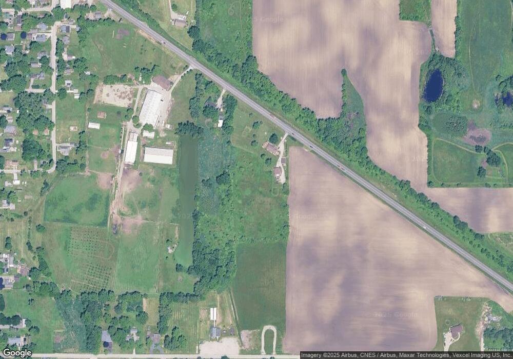
Map
Nearby Homes
- 10729 Hanley St
- 5496 W 107th Ct
- 11217 Burr Parcel 2 St
- 10710 Porter St
- 11224 Durbin Place
- 10813 Lane St
- 10735 Sherman St
- 11531 Westvalley Dr
- 11606 Westvalley Dr
- 7830 W 106th Ln
- 7770 W 106th Ln
- 11341 Lakewood St
- 10650 Morse Place
- 10638 Morse Place
- 10650 Morse Place
- 10596 Morse Place
- 11429 Bell Place
- 10588 Morse Place
- 10568 Morse Place
- 10588 Morse Place
- 5619 W 109th Ave
- 5555 W 109th Ave
- 10890 Hanley St
- 5707 W 109th Ave
- 10804 Hanley St
- 5561 W 109th Ave
- 5409 W 109th Ave
- 10800 Hanley St
- 5511 W 109th Ave
- 10805 Hanley St
- 10798 Hanley St
- 5821 W 109th Ave
- 5324 W 109th Ave
- 5307 W 109th Ave
- 10766 Hanley St
- 10767 Hanley St
- 5915 W 109th Ave
- 10732 Hanley St
- 5499 W 107th Ct
- 5497 W 107th Ct