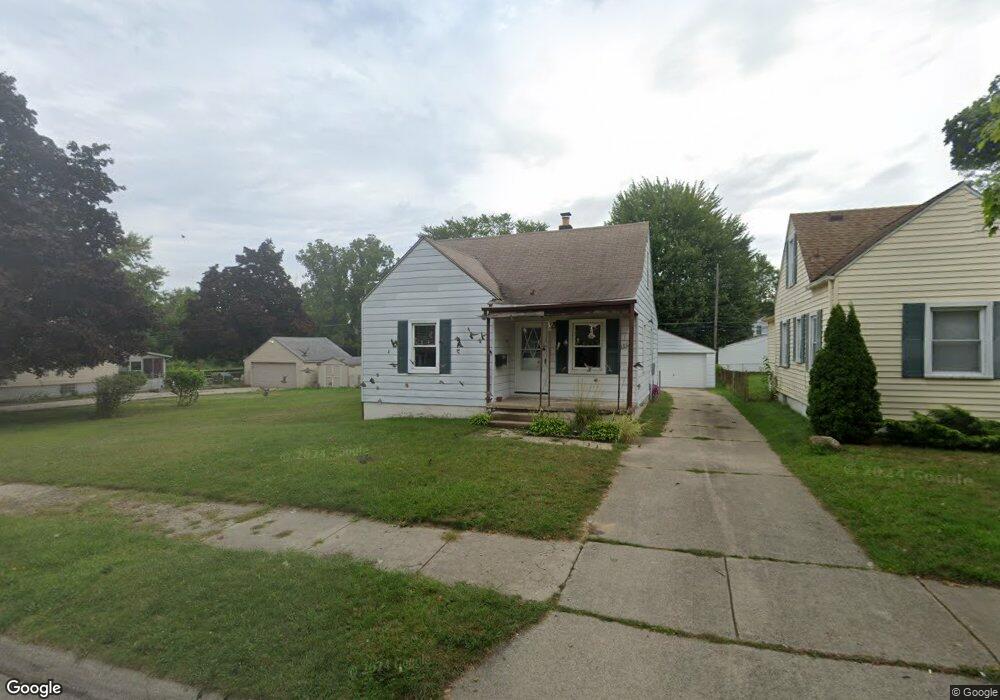
5627 Westpoint St Dearborn Heights, MI 48125
Estimated Value: $205,747
--
Bed
1
Bath
1,302
Sq Ft
$158/Sq Ft
Est. Value
About This Home
This home is located at 5627 Westpoint St, Dearborn Heights, MI 48125 and is currently priced at $205,747, approximately $158 per square foot. 5627 Westpoint St is a home located in Wayne County with nearby schools including Polk Elementary School, Bedford School, and Pardee School.
Ownership History
Date
Name
Owned For
Owner Type
Purchase Details
Closed on
Jan 14, 2005
Sold by
Martin Elizabeth Ann
Bought by
The Elizabeth Ann Martin Revocable Livin
Current Estimated Value
Home Financials for this Owner
Home Financials are based on the most recent Mortgage that was taken out on this home.
Original Mortgage
$5,500
Interest Rate
5.77%
Mortgage Type
Stand Alone Refi Refinance Of Original Loan
Purchase Details
Closed on
Oct 15, 1997
Sold by
Martin Elizabeth Ann
Bought by
Martin Elizabeth Ann and Elizabeth Ann Martin Revocable Living Tr
Create a Home Valuation Report for This Property
The Home Valuation Report is an in-depth analysis detailing your home's value as well as a comparison with similar homes in the area
Home Values in the Area
Average Home Value in this Area
Purchase History
| Date | Buyer | Sale Price | Title Company |
|---|---|---|---|
| The Elizabeth Ann Martin Revocable Livin | -- | Minnesota Title Agency | |
| Martin Elizabeth Ann | -- | Minnesota Title Agency | |
| Martin Elizabeth Ann | -- | -- |
Source: Public Records
Mortgage History
| Date | Status | Borrower | Loan Amount |
|---|---|---|---|
| Closed | Martin Elizabeth Ann | $5,500 |
Source: Public Records
Tax History Compared to Growth
Tax History
| Year | Tax Paid | Tax Assessment Tax Assessment Total Assessment is a certain percentage of the fair market value that is determined by local assessors to be the total taxable value of land and additions on the property. | Land | Improvement |
|---|---|---|---|---|
| 2024 | $1,631 | $0 | $0 | $0 |
| 2023 | $1,133 | $62,400 | $0 | $0 |
| 2022 | $1,572 | $54,000 | $0 | $0 |
| 2021 | $1,573 | $48,200 | $0 | $0 |
| 2019 | $1,528 | $39,400 | $0 | $0 |
| 2018 | $1,027 | $32,900 | $0 | $0 |
| 2017 | $924 | $29,900 | $0 | $0 |
| 2016 | $1,454 | $28,200 | $0 | $0 |
| 2015 | $2,601 | $26,100 | $0 | $0 |
| 2013 | $2,650 | $27,600 | $0 | $0 |
| 2010 | -- | $33,700 | $0 | $0 |
Source: Public Records
Map
Nearby Homes
- 5689 Cornell St
- 5671 Syracuse St
- 24035 Currier St
- 5908 Pine St
- 4901 Cornell St
- 5954 Pine St
- 24117 Eton Ave
- 4665 Syracuse St
- 24360 Pennie St
- 24339 Eton Ave
- 23214 S Brookside Dr
- 24443 Powers Ave
- 4506 Syracuse St
- 4489 Westpoint St
- 4474 Syracuse St
- 4449 Academy St
- 4193 Cornell St
- 000 Hanover St
- 22453 Pardee Ct
- 6430 Banner St
- 5635 Westpoint St
- 5643 Westpoint St
- 5601 Westpoint St
- 5658 Cornell St
- 5659 Westpoint St
- 5620 Westpoint St
- 5628 Westpoint St
- 5636 Westpoint St
- 5630 Cornell St
- 5612 Westpoint St
- 5644 Westpoint St
- 5616 Cornell St
- 5674 Cornell St
- 5667 Westpoint St
- 5602 Westpoint St
- 5602 Cornell St
- 5652 Westpoint St
- 5690 Cornell St
- 5677 Westpoint St Unit Bldg-Unit
- 5677 Westpoint St