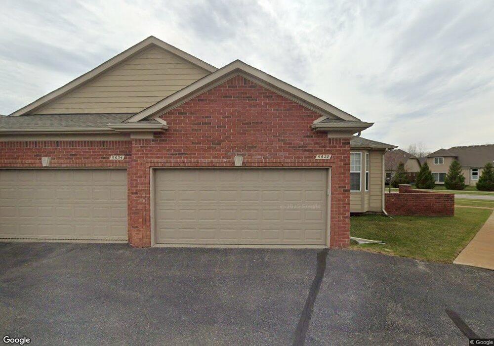
5628 Murphy Ct Unit 89 Warren, MI 48092
Northwest Warren NeighborhoodEstimated Value: $271,000 - $352,000
2
Beds
2
Baths
1,693
Sq Ft
$178/Sq Ft
Est. Value
About This Home
This home is located at 5628 Murphy Ct Unit 89, Warren, MI 48092 and is currently estimated at $302,136, approximately $178 per square foot. 5628 Murphy Ct Unit 89 is a home located in Macomb County with nearby schools including Green Acres Elementary School, Beer Middle School, and Warren Mott High School.
Ownership History
Date
Name
Owned For
Owner Type
Purchase Details
Closed on
Jan 31, 2008
Sold by
Lombardo Warren Llc
Bought by
Lewis Margaret L
Current Estimated Value
Create a Home Valuation Report for This Property
The Home Valuation Report is an in-depth analysis detailing your home's value as well as a comparison with similar homes in the area
Home Values in the Area
Average Home Value in this Area
Purchase History
| Date | Buyer | Sale Price | Title Company |
|---|---|---|---|
| Lewis Margaret L | $209,455 | None Available |
Source: Public Records
Tax History Compared to Growth
Tax History
| Year | Tax Paid | Tax Assessment Tax Assessment Total Assessment is a certain percentage of the fair market value that is determined by local assessors to be the total taxable value of land and additions on the property. | Land | Improvement |
|---|---|---|---|---|
| 2025 | $3,758 | $130,030 | $0 | $0 |
| 2024 | $3,651 | $119,740 | $0 | $0 |
| 2023 | $3,461 | $108,280 | $0 | $0 |
| 2022 | $3,344 | $100,020 | $0 | $0 |
| 2021 | $3,403 | $95,640 | $0 | $0 |
| 2020 | $3,281 | $84,580 | $0 | $0 |
| 2019 | $3,163 | $83,070 | $0 | $0 |
| 2018 | $3,213 | $77,770 | $0 | $0 |
| 2017 | $3,172 | $73,080 | $8,250 | $64,830 |
| 2016 | $3,169 | $73,080 | $0 | $0 |
| 2015 | -- | $69,190 | $0 | $0 |
| 2013 | $2,973 | $54,500 | $0 | $0 |
Source: Public Records
Map
Nearby Homes
- 30520 Berghway Trail
- 30466 Berghway Trail
- 30475 Berghway Trail
- 30050 Heritage Pkwy Unit 42
- 30253 Bradmore Rd
- 29828 Fox Run Cir Circles Unit 100
- 5239 E 13 Mile Rd
- 5134 Canterbury Ln
- 30945 Cousino Dr Unit 14
- 29616 S White Oak Dr Unit 87
- 4801 E 13 Mile Rd
- 29900 N Grand Oaks Dr Unit 26
- 29382 Woodpark Cir Unit 685
- 4829 Buchanan Ave
- 29337 Woodpark Cir Unit 60
- 31721 Lexington St
- 4519 Reader Dr
- 5102 Ridge Ln
- 29512 Orvylle Dr
- 5142 Trailwood Ln
- 5646 Murphy Ct
- 5640 Murphy Ct Unit 91
- 5634 Murphy Ct Unit 90
- 5622 Murphy Ct Unit 88
- 5604 Murphy Ct
- 5616 Murphy Ct Unit 87
- 5610 Murphy Ct
- 5670 Murphy Ct
- 5664 Murphy Ct
- 5658 Murphy Ct
- 5652 Murphy Ct
- 30573 Berghway Trail
- 30577 Berghway Trail
- 30573 Berghway Trail Unit 108
- 5694 Murphy Ct Unit 100
- 5688 Murphy Ct Unit 99
- 5682 Murphy Ct Unit 98
- 5676 Murphy Ct
- 30563 Berghway Trail
- 30569 Berghway Trail