5629 Brooks Holding Milford, OH 45150
Estimated Value: $185,000 - $218,126
2
Beds
2
Baths
1,260
Sq Ft
$161/Sq Ft
Est. Value
About This Home
This home is located at 5629 Brooks Holding, Milford, OH 45150 and is currently estimated at $202,532, approximately $160 per square foot. 5629 Brooks Holding is a home located in Clermont County with nearby schools including Milford Senior High School, St. Andrew - St. Elizabeth Ann Seton School, and St. Mark's Lutheran School.
Ownership History
Date
Name
Owned For
Owner Type
Purchase Details
Closed on
Feb 21, 2003
Sold by
Merry David W
Bought by
Pember Denise
Current Estimated Value
Home Financials for this Owner
Home Financials are based on the most recent Mortgage that was taken out on this home.
Original Mortgage
$83,000
Outstanding Balance
$35,832
Interest Rate
6.06%
Mortgage Type
New Conventional
Estimated Equity
$166,700
Purchase Details
Closed on
Jan 14, 1997
Sold by
Stuart Roger L
Bought by
David W Merry
Home Financials for this Owner
Home Financials are based on the most recent Mortgage that was taken out on this home.
Original Mortgage
$77,850
Interest Rate
7.38%
Mortgage Type
New Conventional
Purchase Details
Closed on
Nov 15, 1991
Purchase Details
Closed on
Oct 1, 1985
Create a Home Valuation Report for This Property
The Home Valuation Report is an in-depth analysis detailing your home's value as well as a comparison with similar homes in the area
Home Values in the Area
Average Home Value in this Area
Purchase History
| Date | Buyer | Sale Price | Title Company |
|---|---|---|---|
| Pember Denise | $100,000 | -- | |
| David W Merry | $86,500 | -- | |
| -- | $70,000 | -- | |
| -- | $64,600 | -- |
Source: Public Records
Mortgage History
| Date | Status | Borrower | Loan Amount |
|---|---|---|---|
| Open | Pember Denise | $83,000 | |
| Previous Owner | David W Merry | $77,850 |
Source: Public Records
Tax History Compared to Growth
Tax History
| Year | Tax Paid | Tax Assessment Tax Assessment Total Assessment is a certain percentage of the fair market value that is determined by local assessors to be the total taxable value of land and additions on the property. | Land | Improvement |
|---|---|---|---|---|
| 2024 | $2,411 | $52,920 | $4,200 | $48,720 |
| 2023 | $2,436 | $52,920 | $4,200 | $48,720 |
| 2022 | $2,137 | $35,350 | $2,800 | $32,550 |
| 2021 | $2,140 | $35,350 | $2,800 | $32,550 |
| 2020 | $2,051 | $35,350 | $2,800 | $32,550 |
| 2019 | $1,853 | $30,320 | $2,700 | $27,620 |
| 2018 | $1,853 | $30,320 | $2,700 | $27,620 |
| 2017 | $1,851 | $30,320 | $2,700 | $27,620 |
| 2016 | $1,851 | $27,550 | $2,450 | $25,100 |
| 2015 | $1,804 | $27,550 | $2,450 | $25,100 |
| 2014 | $1,727 | $27,550 | $2,450 | $25,100 |
| 2013 | $1,810 | $28,000 | $2,100 | $25,900 |
Source: Public Records
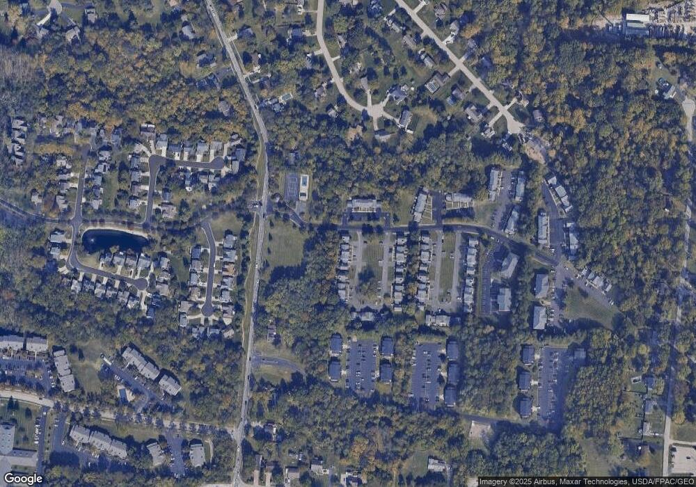
Map
Nearby Homes
- 1010 Newberry Ave
- 977 Newberry Ave
- 5897 Cook Rd
- 957 Tarragon Ln
- 1706 Cottontail Dr
- 5612 Flagstone Way
- 5884 Stonebridge Cir
- 5880 Stonebridge Cir
- 1007 Valley View Dr
- 1093 Broadview Place
- 1139 Willowwood Dr
- 2403 Traverse Creek Dr
- 772 Price Knoll Ln
- 1201 Sorrel Ln
- 5702 Sherwood Dr
- 5942 Pinto Place
- 6211 Cook Rd
- 1113 Clover Field Dr
- 1197 Ronlee Dr
- 5975 Buckwheat Rd
- 5629 Brooks Holding
- 5627 Brooks Holding Unit 89
- 5627 Brooks Holding Unit 89
- 5627 Brooks Holding
- 5625 Brooks Holding Unit 88
- 5623 Brooks Holding
- 5621 Brooks Holding
- 5621 Brooks Holding
- 5619 Brooks Holding
- 5619 Brooks Holding
- 1683 Cooks Grant Dr
- 1681 Cooks Grant Dr
- 1681 Cooks Grant Dr
- 1681 Cooks Grant Dr
- 36 Vista Run Ct
- 41 Vista Run Ct
- 1685 Cooks Grant Dr
- 1687 Cooks Grant Dr
- 1689 Cooks Grant Dr Unit 5
- 5617 Brooks Holding