5629 Kirkridge Trail Oakland Township, MI 48306
Estimated Value: $1,141,443 - $1,475,000
4
Beds
6
Baths
4,544
Sq Ft
$287/Sq Ft
Est. Value
About This Home
This home is located at 5629 Kirkridge Trail, Oakland Township, MI 48306 and is currently estimated at $1,304,111, approximately $286 per square foot. 5629 Kirkridge Trail is a home located in Oakland County with nearby schools including Musson Elementary School, Van Hoosen Middle School, and Rochester Adams High School.
Ownership History
Date
Name
Owned For
Owner Type
Purchase Details
Closed on
Jun 30, 1999
Sold by
Nimesheim Frank N
Bought by
Verwilst Michael C
Current Estimated Value
Purchase Details
Closed on
Aug 18, 1997
Sold by
Moceri Development Corp
Bought by
Moceri Development Corp
Home Financials for this Owner
Home Financials are based on the most recent Mortgage that was taken out on this home.
Original Mortgage
$249,950
Interest Rate
7.57%
Create a Home Valuation Report for This Property
The Home Valuation Report is an in-depth analysis detailing your home's value as well as a comparison with similar homes in the area
Home Values in the Area
Average Home Value in this Area
Purchase History
| Date | Buyer | Sale Price | Title Company |
|---|---|---|---|
| Verwilst Michael C | -- | -- | |
| Moceri Development Corp | -- | -- |
Source: Public Records
Mortgage History
| Date | Status | Borrower | Loan Amount |
|---|---|---|---|
| Previous Owner | Moceri Development Corp | $249,950 |
Source: Public Records
Tax History Compared to Growth
Tax History
| Year | Tax Paid | Tax Assessment Tax Assessment Total Assessment is a certain percentage of the fair market value that is determined by local assessors to be the total taxable value of land and additions on the property. | Land | Improvement |
|---|---|---|---|---|
| 2024 | $5,594 | $454,640 | $0 | $0 |
| 2023 | $5,379 | $403,980 | $0 | $0 |
| 2022 | $7,971 | $361,890 | $0 | $0 |
| 2021 | $7,436 | $358,630 | $0 | $0 |
| 2020 | $5,197 | $356,000 | $0 | $0 |
| 2019 | $7,881 | $349,360 | $0 | $0 |
| 2018 | $7,931 | $348,840 | $0 | $0 |
| 2017 | $7,748 | $341,270 | $0 | $0 |
| 2016 | $7,749 | $339,170 | $0 | $0 |
| 2015 | -- | $337,700 | $0 | $0 |
| 2014 | -- | $306,690 | $0 | $0 |
| 2011 | -- | $278,650 | $0 | $0 |
Source: Public Records
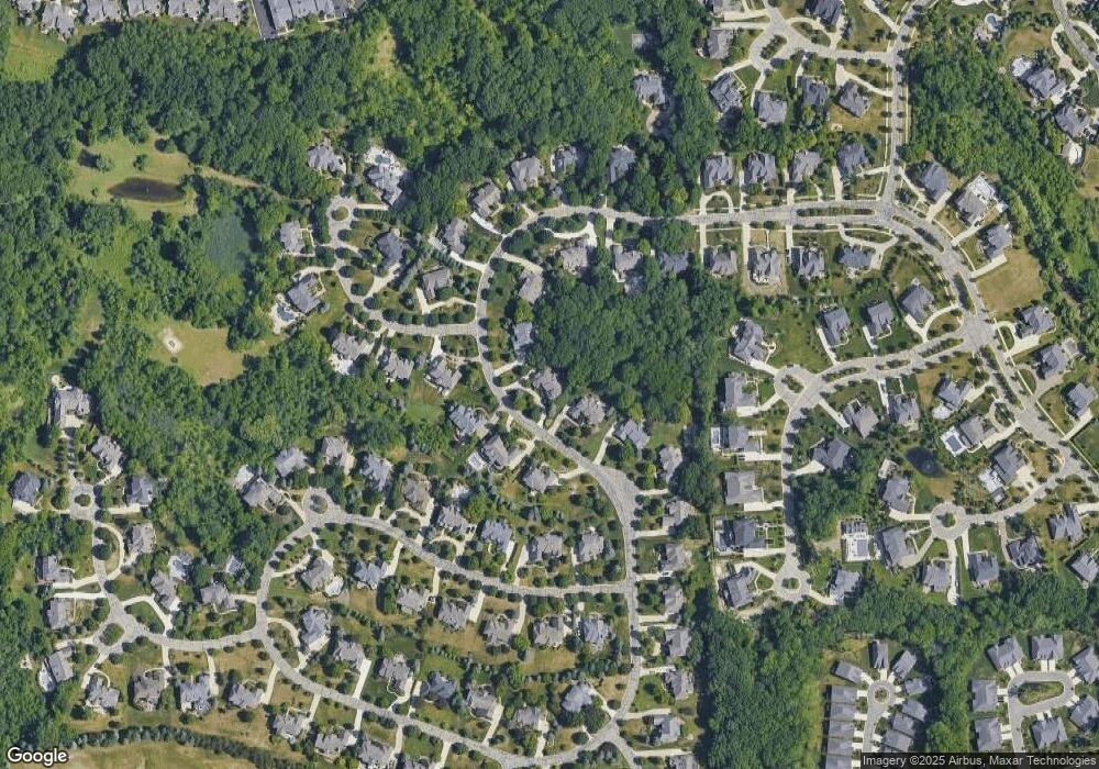
Map
Nearby Homes
- 3185 Saint James Ct
- 5826 Murfield Dr
- 3582 Tremonte Cir S Unit 276
- 3577 Oakmonte Blvd
- 3498 Oakmonte Blvd Unit 122
- 3574 Oakmonte Blvd
- 5724 Murfield Dr
- 1906 Independence Ct
- 5700 Rolling Hills Dr
- 2821 Addison Cir S
- 2879 Hastings Ct Unit 73
- 5043 Belmonte Dr Unit 65
- 2794 Castlemartin Ct
- 2750 Castlemartin Ct Unit 22
- 3273 Salem Dr
- 3674 Merriweather Ln
- 3961 Ridgemonte Ct
- 5350 Brewster Rd
- 3137 Silverbrook Dr
- 2935 Woodford Cir
- 5621 Kirkridge Trail
- 5637 Kirkridge Trail
- 5613 Kirkridge Trail
- 5647 Kirkridge Trail
- 5630 Kirkridge Trail
- 5624 Kirkridge Trail
- 5642 Kirkridge Trail
- 5595 Kirkridge Trail
- 3451 Moceri Ct
- 5603 Kirkridge Trail
- 3452 Moceri Ct
- 5655 Kirkridge Trail
- 3461 Moceri Ct
- 5587 Kirkridge Trail
- 3322 Vineyard Hill Dr
- 3376 Vineyard Hill Dr
- 3402 Vineyard Hill Dr
- 3348 Vineyard Hill Dr
- 3430 Vineyard Hill Dr
- 5748 Sovereign Dr