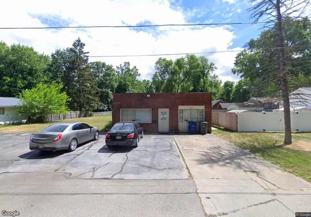
5629 Sloan Rd Toledo, OH 43615
Reynolds Corners NeighborhoodEstimated Value: $122,899
--
Bed
2
Baths
2,050
Sq Ft
$60/Sq Ft
Est. Value
About This Home
This home is located at 5629 Sloan Rd, Toledo, OH 43615 and is currently estimated at $122,899, approximately $59 per square foot. 5629 Sloan Rd is a home located in Lucas County with nearby schools including McTigue Elementary School, Rogers High School, and Horizon Science Academy-Springfield.
Ownership History
Date
Name
Owned For
Owner Type
Purchase Details
Closed on
Feb 16, 2018
Sold by
Fifelity National Title Company Llc
Bought by
Thomas William A and Thomas Jacquline B
Current Estimated Value
Purchase Details
Closed on
Apr 20, 2006
Sold by
Metropolitan Title Co Ohio Llc
Bought by
Thomas Jacqueline B and Thomas William A
Home Financials for this Owner
Home Financials are based on the most recent Mortgage that was taken out on this home.
Original Mortgage
$77,500
Interest Rate
10%
Mortgage Type
Seller Take Back
Purchase Details
Closed on
Aug 13, 2004
Sold by
Sattler Martin A
Bought by
Metropolitan Title Co Ohio Llc
Purchase Details
Closed on
Sep 4, 2001
Sold by
Csomos James R and Csomos Katherine J
Bought by
Sattler Martin A
Purchase Details
Closed on
Nov 30, 1992
Sold by
Minute Men Patrol Inc An
Create a Home Valuation Report for This Property
The Home Valuation Report is an in-depth analysis detailing your home's value as well as a comparison with similar homes in the area
Home Values in the Area
Average Home Value in this Area
Purchase History
| Date | Buyer | Sale Price | Title Company |
|---|---|---|---|
| Thomas William A | -- | Metropoliton Title | |
| Thomas Jacqueline B | $80,000 | Metro Title Agency Inc | |
| Metropolitan Title Co Ohio Llc | -- | Metro Title Agency Inc | |
| Sattler Martin A | $65,000 | Northwest Title Agency Of Oh | |
| -- | $23,000 | -- |
Source: Public Records
Mortgage History
| Date | Status | Borrower | Loan Amount |
|---|---|---|---|
| Previous Owner | Thomas Jacqueline B | $77,500 |
Source: Public Records
Tax History Compared to Growth
Tax History
| Year | Tax Paid | Tax Assessment Tax Assessment Total Assessment is a certain percentage of the fair market value that is determined by local assessors to be the total taxable value of land and additions on the property. | Land | Improvement |
|---|---|---|---|---|
| 2024 | $943 | $17,710 | $2,450 | $15,260 |
| 2023 | $2,164 | $20,370 | $2,660 | $17,710 |
| 2022 | $2,130 | $20,370 | $2,660 | $17,710 |
| 2021 | $2,206 | $20,370 | $2,660 | $17,710 |
| 2020 | $2,085 | $17,710 | $2,450 | $15,260 |
| 2019 | $2,018 | $17,710 | $2,450 | $15,260 |
| 2018 | $2,005 | $17,710 | $2,450 | $15,260 |
| 2017 | $4,329 | $16,870 | $9,135 | $7,735 |
| 2016 | $3,140 | $48,200 | $26,100 | $22,100 |
| 2015 | $1,985 | $48,200 | $26,100 | $22,100 |
| 2014 | $2,372 | $17,790 | $9,630 | $8,160 |
| 2013 | $1,582 | $17,790 | $9,630 | $8,160 |
Source: Public Records
Map
Nearby Homes
- 4860 Airport Hwy
- 1101 Sawyer Rd
- 5805 Fryer Ave
- 428 Deline Dr
- 5873 Nebraska Ave
- 5665 Camberley Dr
- 1925 Olimphia Rd
- 1916 Birkdale Rd
- 1709 Acorn Dr
- 1930 Birkdale Rd
- 419 N Holland Sylvania Rd
- 1911 N Holland Sylvania Rd
- 1966 Devinci Dr
- 5331 Fleet Rd
- 5845 Cook Dr
- 1715 Brooklynn Park W
- 312 Hayes Rd
- 2113 Broadstone Rd
- 5057 Brandon Rd
- 2004 Oakside Rd