563 27th Trail Cotopaxi, CO 81223
Estimated Value: $262,000 - $471,000
4
Beds
2
Baths
2,280
Sq Ft
$165/Sq Ft
Est. Value
About This Home
This home is located at 563 27th Trail, Cotopaxi, CO 81223 and is currently estimated at $375,333, approximately $164 per square foot. 563 27th Trail is a home located in Fremont County with nearby schools including Cotopaxi Elementary School and Cotopaxi Junior/Senior High School.
Ownership History
Date
Name
Owned For
Owner Type
Purchase Details
Closed on
Jul 29, 2014
Sold by
Buck Dennis
Bought by
Hailey Mike and Reese Kathy
Current Estimated Value
Purchase Details
Closed on
Oct 18, 2011
Sold by
Secretary Of Housing & Urban Development
Bought by
Hailey Michael D and Reese Kathy A
Purchase Details
Closed on
Jul 14, 2011
Sold by
Henley John and Henley Tina Lea
Bought by
Secretary Of Housing & Urban Development
Purchase Details
Closed on
Mar 16, 2011
Sold by
Henley John and Henley Tina Lea
Bought by
Secretay Of Housing & Urban Development
Purchase Details
Closed on
Sep 20, 2006
Sold by
Henley Tina Lea and Bressette Tina L
Bought by
Henley Tina Lea and Henley John
Home Financials for this Owner
Home Financials are based on the most recent Mortgage that was taken out on this home.
Original Mortgage
$114,695
Interest Rate
6.55%
Mortgage Type
FHA
Create a Home Valuation Report for This Property
The Home Valuation Report is an in-depth analysis detailing your home's value as well as a comparison with similar homes in the area
Purchase History
| Date | Buyer | Sale Price | Title Company |
|---|---|---|---|
| Hailey Mike | $1,000 | None Available | |
| Hailey Michael D | $61,703 | None Available | |
| Hailey Michael D | $61,703 | None Available | |
| Secretary Of Housing & Urban Development | -- | None Available | |
| Secretay Of Housing & Urban Development | $114,695 | None Available | |
| Henley Tina Lea | -- | Stewart Title |
Source: Public Records
Mortgage History
| Date | Status | Borrower | Loan Amount |
|---|---|---|---|
| Previous Owner | Henley Tina Lea | $114,695 |
Source: Public Records
Tax History
| Year | Tax Paid | Tax Assessment Tax Assessment Total Assessment is a certain percentage of the fair market value that is determined by local assessors to be the total taxable value of land and additions on the property. | Land | Improvement |
|---|---|---|---|---|
| 2024 | $619 | $19,688 | $0 | $0 |
| 2023 | $434 | $15,664 | $0 | $0 |
| 2022 | $290 | $12,501 | $0 | $0 |
| 2021 | $584 | $12,861 | $0 | $0 |
| 2020 | $463 | $10,392 | $0 | $0 |
| 2019 | $463 | $10,392 | $0 | $0 |
| 2018 | $424 | $9,510 | $0 | $0 |
| 2017 | $425 | $9,510 | $0 | $0 |
| 2016 | $390 | $8,740 | $0 | $0 |
| 2015 | $389 | $8,740 | $0 | $0 |
| 2012 | -- | $10,191 | $478 | $9,713 |
Source: Public Records
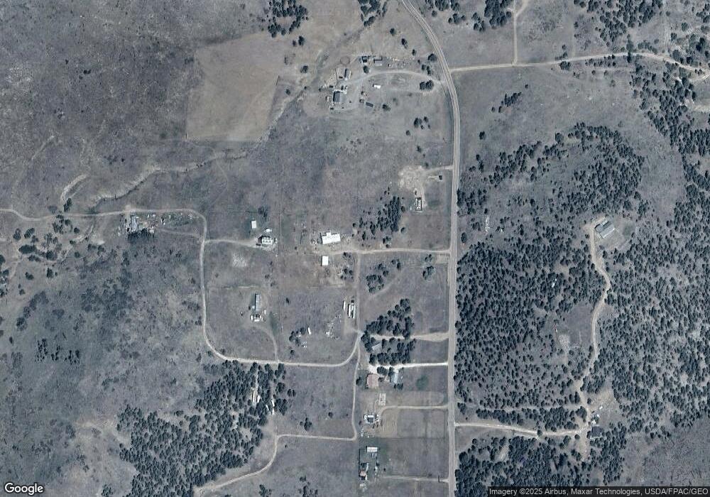
Map
Nearby Homes
- TBD County Road 18x
- 0 Tbd Vacant Land Unit 2517535
- 377 Color Sweet Dr
- 488 31st Trail
- 474 Deer Run Dr
- 0 27th Trail
- TBD 27th Trail
- 430 Shannon Trail
- 0 30th and H Path
- 171 Sunset Trail
- 1629 County Road 27a
- 464 Burro Back Ct
- 701 Shannon Trail
- 92 Carpenter Trail
- 92 & 184 Carpenter Trail
- 395 Gibbons Trailway
- 912 31st Trail
- 839 Shannon Trail
- 1971 County Road 27a
- TBD County Road 27a
- 563 27th Trail
- 562 26th Trail Unit FRE
- 562 26th Trail
- 2749 County Road 27a
- 2749 Cr 27a
- 2749 Cr 27a Unit 74
- 2525 Cr 27a
- 2849 County Road 27a Unit FRE
- 2849 County Road 27a
- 2525 County Road 27a Unit FRE
- 2849 Cr 27a Unit 2
- 1500 F Path
- 2467 County Road 27a
- 2467 Cr 27a
- 563 26th Trail
- 2429 Cr 27a
- 2484 County Road 27a Unit FRE
- 2484 Cr 27a
- 2956 County Road 27a Unit FRE
- 2956 Cr 27a
Your Personal Tour Guide
Ask me questions while you tour the home.