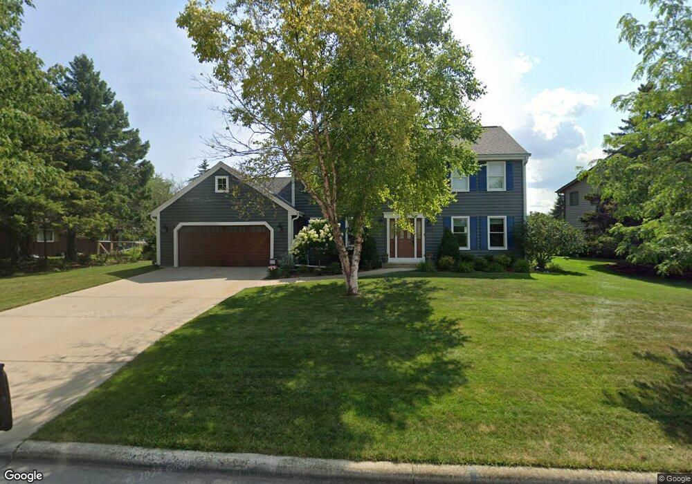
563 Briarwood Ln Port Washington, WI 53074
Estimated Value: $411,000 - $683,000
--
Bed
--
Bath
--
Sq Ft
0.29
Acres
About This Home
This home is located at 563 Briarwood Ln, Port Washington, WI 53074 and is currently estimated at $552,741. 563 Briarwood Ln is a home located in Ozaukee County with nearby schools including Lincoln Elementary School, Thomas Jefferson Middle School, and Port Washington High School.
Ownership History
Date
Name
Owned For
Owner Type
Purchase Details
Closed on
Jul 1, 2005
Sold by
Oglevie Peter A and Oglevie Mary H
Bought by
Mitchell Mark D and Mitchell Kathleen C
Current Estimated Value
Home Financials for this Owner
Home Financials are based on the most recent Mortgage that was taken out on this home.
Original Mortgage
$145,000
Interest Rate
5.69%
Mortgage Type
New Conventional
Create a Home Valuation Report for This Property
The Home Valuation Report is an in-depth analysis detailing your home's value as well as a comparison with similar homes in the area
Home Values in the Area
Average Home Value in this Area
Purchase History
| Date | Buyer | Sale Price | Title Company |
|---|---|---|---|
| Mitchell Mark D | $319,900 | None Available |
Source: Public Records
Mortgage History
| Date | Status | Borrower | Loan Amount |
|---|---|---|---|
| Closed | Mitchell Mark D | $145,000 |
Source: Public Records
Tax History Compared to Growth
Tax History
| Year | Tax Paid | Tax Assessment Tax Assessment Total Assessment is a certain percentage of the fair market value that is determined by local assessors to be the total taxable value of land and additions on the property. | Land | Improvement |
|---|---|---|---|---|
| 2024 | $5,803 | $363,600 | $67,700 | $295,900 |
| 2023 | $5,196 | $363,600 | $67,700 | $295,900 |
| 2022 | $5,224 | $361,200 | $67,700 | $293,500 |
| 2021 | $5,137 | $361,200 | $67,700 | $293,500 |
| 2020 | $4,893 | $265,400 | $67,700 | $197,700 |
| 2019 | $5,001 | $265,400 | $67,700 | $197,700 |
| 2018 | $4,853 | $265,400 | $67,700 | $197,700 |
| 2017 | $4,778 | $265,400 | $67,700 | $197,700 |
| 2016 | $4,796 | $265,400 | $67,700 | $197,700 |
| 2015 | $4,682 | $265,400 | $67,700 | $197,700 |
| 2014 | $4,401 | $265,400 | $67,700 | $197,700 |
| 2013 | $4,686 | $265,400 | $67,700 | $197,700 |
Source: Public Records
Map
Nearby Homes
- 1104 Noridge Trail
- Lt10 E Norport Dr
- 248 E Norport Dr
- 163 E Beutel Rd
- 122 E James Dr
- 1891 Parknoll Ln
- 1908 Parknoll Ln Unit 4
- 1972 Parknoll Ln
- 350 E Seven Hills Rd
- Lt1 Johnson St
- 415 N Lake St Unit 602
- 415 N Lake St Unit 701
- 415 N Lake St Unit 702
- 415 N Lake St Unit 805
- 117 E Van Buren St
- 324 N Lake St Unit 204
- 772 N Holden St
- 1027 Fairview Dr
- 307 E Pier St
- 303 E Pier St
- 575 Briarwood Ln
- 537 Briarwood Ln
- 1119 Noridge Trail
- 524 Brentwood Ct
- 1111 Noridge Trail
- 568 Briarwood Ln
- 513 Briarwood Ln
- 1127 Noridge Trail
- 1103 Noridge Trail
- 542 Briarwood Ln
- 518 Brentwood Ct
- 530 Brentwood Ct
- 507 Briarwood Ln
- 524 Briarwood Ln
- 1017 Noridge Trail
- 1209 Spinnaker Dr
- 1135 Noridge Trail
- 1245 Spinnaker Dr
- 1128 Noridge Trail
- 1112 Noridge Trail