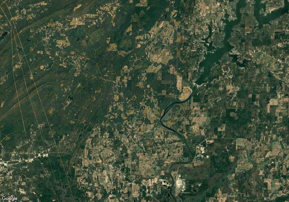
563 Highway 81 Vincent, AL 35178
Estimated Value: $405,000 - $556,311
--
Bed
1
Bath
3,060
Sq Ft
$163/Sq Ft
Est. Value
About This Home
This home is located at 563 Highway 81, Vincent, AL 35178 and is currently estimated at $497,328, approximately $162 per square foot. 563 Highway 81 is a home located in Shelby County with nearby schools including Vincent Elementary School and Vincent Middle High School.
Ownership History
Date
Name
Owned For
Owner Type
Purchase Details
Closed on
Mar 18, 2021
Sold by
Carroll Joseph Lynn and Carroll Jenny Rebecca
Bought by
Carroll Justin L and Carroll Elizabeth M
Current Estimated Value
Home Financials for this Owner
Home Financials are based on the most recent Mortgage that was taken out on this home.
Original Mortgage
$357,500
Outstanding Balance
$265,511
Interest Rate
2.8%
Mortgage Type
New Conventional
Estimated Equity
$231,817
Create a Home Valuation Report for This Property
The Home Valuation Report is an in-depth analysis detailing your home's value as well as a comparison with similar homes in the area
Home Values in the Area
Average Home Value in this Area
Purchase History
| Date | Buyer | Sale Price | Title Company |
|---|---|---|---|
| Carroll Justin L | $450,000 | None Available |
Source: Public Records
Mortgage History
| Date | Status | Borrower | Loan Amount |
|---|---|---|---|
| Open | Carroll Justin L | $357,500 |
Source: Public Records
Tax History Compared to Growth
Tax History
| Year | Tax Paid | Tax Assessment Tax Assessment Total Assessment is a certain percentage of the fair market value that is determined by local assessors to be the total taxable value of land and additions on the property. | Land | Improvement |
|---|---|---|---|---|
| 2024 | $2,029 | $41,400 | $0 | $0 |
| 2023 | $1,852 | $38,640 | $0 | $0 |
| 2022 | $1,703 | $35,600 | $0 | $0 |
| 2021 | $654 | $11,640 | $0 | $0 |
| 2020 | $629 | $29,640 | $0 | $0 |
| 2019 | $609 | $39,400 | $0 | $0 |
| 2017 | $0 | $30,080 | $0 | $0 |
| 2015 | -- | $26,180 | $0 | $0 |
| 2014 | $1,144 | $24,180 | $0 | $0 |
Source: Public Records
Map
Nearby Homes
- 136 Thatcher Dr
- 3207 Highway 83 Unit 1
- 4111 Highway 83
- 1129 Highway 467 Unit Parcel 3
- 143 Deerwood Lake Dr
- 127 Amanda Dr Unit 5
- 100 Amanda Dr Unit 27
- 34 Raley St
- 66 Haines Dr Unit 66
- 45676 Alabama 25
- 43520 Highway 25
- 6571 Highway 85
- 112 Morning Dove Way Unit 6
- 160 Deerwood Lake Dr Unit 35
- 0001 Highway 25
- 181 Dyers Rd
- 4947 U S 231 Unit 1/Lots 2-6
- 4947 U S 231 Unit 6
- 4947 U S 231 Unit 5
- 4947 U S 231 Unit 4
- 535 Highway 81
- 496 Highway 81
- 657 Highway 81
- 438 Highway 81
- 438 Hwy 81
- 436 Co Rd 81
- 681 Highway 81
- 570 Highway 81
- 592 Highway 81
- 356 Highway 81
- 01 Highway 467 Unit 1
- 02 Highway 467 Unit 1
- 300 Highway 81
- 498 Highway 81
- 498 Hwy 81
- 290 Highway 81
- 834 Highway 81
- 136 Thatcher Rd
- 195 Highway 81 Unit 1
- 185 Highway 81
