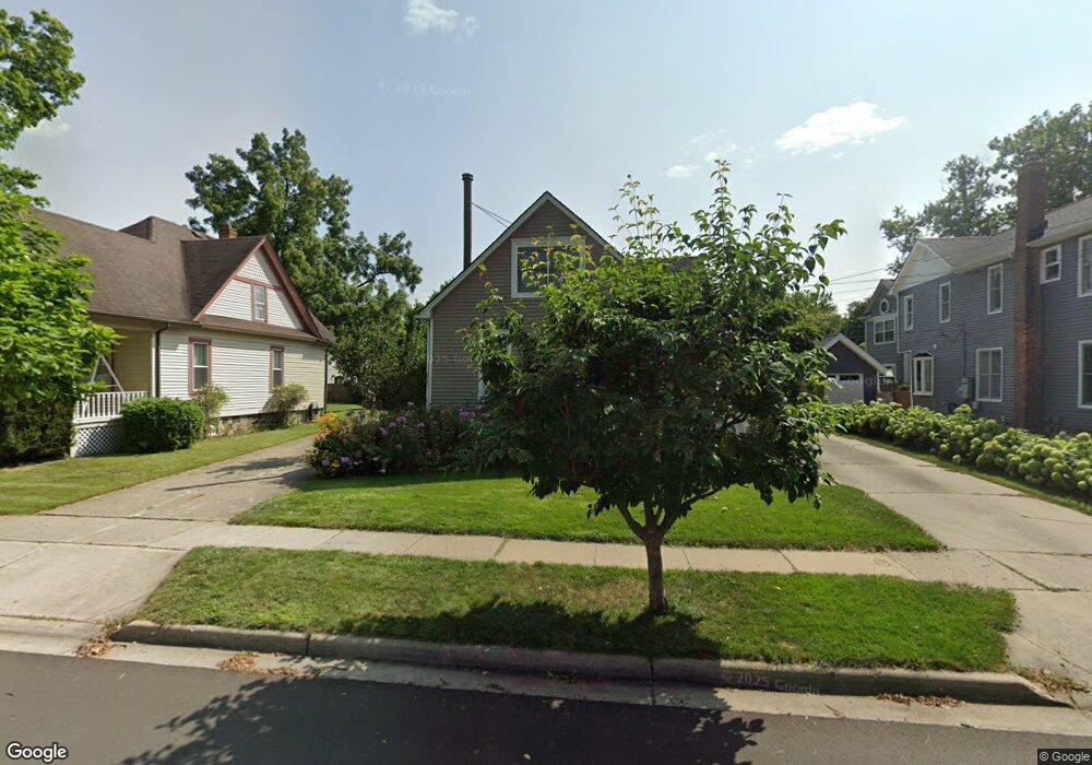
563 Maple St Plymouth, MI 48170
Estimated Value: $444,733 - $646,000
4
Beds
2
Baths
1,710
Sq Ft
$302/Sq Ft
Est. Value
About This Home
This home is located at 563 Maple St, Plymouth, MI 48170 and is currently estimated at $516,683, approximately $302 per square foot. 563 Maple St is a home located in Wayne County with nearby schools including Canton High School, Smith Elementary School, and East Middle School.
Ownership History
Date
Name
Owned For
Owner Type
Purchase Details
Closed on
Jan 26, 2009
Sold by
Albanese Paul and Albanese Nicol
Bought by
Freels Sara
Current Estimated Value
Purchase Details
Closed on
Jul 19, 2006
Sold by
Albanese Paul
Bought by
Albanese Paul
Home Financials for this Owner
Home Financials are based on the most recent Mortgage that was taken out on this home.
Original Mortgage
$163,000
Interest Rate
6.45%
Mortgage Type
New Conventional
Purchase Details
Closed on
Nov 7, 2001
Sold by
Albanese Mary J
Bought by
Albanese Paul
Create a Home Valuation Report for This Property
The Home Valuation Report is an in-depth analysis detailing your home's value as well as a comparison with similar homes in the area
Home Values in the Area
Average Home Value in this Area
Purchase History
| Date | Buyer | Sale Price | Title Company |
|---|---|---|---|
| Freels Sara | $192,500 | Minnesota Title Agency | |
| Albanese Paul | -- | Independence Title | |
| Albanese Paul | -- | -- |
Source: Public Records
Mortgage History
| Date | Status | Borrower | Loan Amount |
|---|---|---|---|
| Previous Owner | Albanese Paul | $163,000 |
Source: Public Records
Tax History Compared to Growth
Tax History
| Year | Tax Paid | Tax Assessment Tax Assessment Total Assessment is a certain percentage of the fair market value that is determined by local assessors to be the total taxable value of land and additions on the property. | Land | Improvement |
|---|---|---|---|---|
| 2025 | $4,481 | $192,200 | $0 | $0 |
| 2024 | $4,481 | $172,800 | $0 | $0 |
| 2023 | $4,364 | $169,100 | $0 | $0 |
| 2022 | $4,626 | $158,200 | $0 | $0 |
| 2021 | $4,483 | $155,700 | $0 | $0 |
| 2020 | $4,471 | $153,300 | $0 | $0 |
| 2019 | $3,936 | $136,200 | $0 | $0 |
| 2018 | $3,823 | $130,600 | $0 | $0 |
| 2017 | $810 | $125,400 | $0 | $0 |
| 2016 | $4,165 | $120,200 | $0 | $0 |
| 2015 | $9,540 | $108,170 | $0 | $0 |
| 2013 | $9,242 | $98,570 | $0 | $0 |
| 2011 | -- | $87,880 | $0 | $0 |
Source: Public Records
Map
Nearby Homes
- 543 Deer St
- 628 Maple St
- 644 Maple St
- 636 Maple St
- 660 Maple St
- 668 Maple St
- 525 W Ann Arbor Trail
- 801 W Ann Arbor Trail Unit 306
- 730 Penniman Ave Unit 205
- 381 Hamilton St
- 300 Hamilton St Unit 201
- 300 Hamilton St Unit 306
- 775 Deer Ct Unit 104
- 190 Hamilton St
- 42384 Gateway Dr
- 638 S Harvey St
- 278 Maple St
- 256 Maple St
- 163 Hamilton St
- 333 N Sydney Ct