563 Muddy Branch Rd Amherst, VA 24521
Estimated Value: $421,000 - $575,000
3
Beds
2
Baths
1,973
Sq Ft
$241/Sq Ft
Est. Value
About This Home
This home is located at 563 Muddy Branch Rd, Amherst, VA 24521 and is currently estimated at $475,437, approximately $240 per square foot. 563 Muddy Branch Rd is a home located in Amherst County with nearby schools including Amherst Elementary School, Amherst Middle School, and Amherst County High School.
Ownership History
Date
Name
Owned For
Owner Type
Purchase Details
Closed on
Sep 25, 2012
Sold by
Reeder Ronald G and Sullivan Mary E
Bought by
Sullivan Mary E
Current Estimated Value
Home Financials for this Owner
Home Financials are based on the most recent Mortgage that was taken out on this home.
Original Mortgage
$263,000
Outstanding Balance
$170,971
Interest Rate
2.25%
Mortgage Type
Adjustable Rate Mortgage/ARM
Estimated Equity
$304,466
Purchase Details
Closed on
Mar 21, 2008
Sold by
Reeder Ronald G and Sullivan Mary E
Bought by
Mcgarry David J and Mcgarry Patricia F
Purchase Details
Closed on
May 5, 2007
Sold by
Woody William D and Woody Shannan C
Bought by
Reeder Ronald G and Sullivan Mary E
Create a Home Valuation Report for This Property
The Home Valuation Report is an in-depth analysis detailing your home's value as well as a comparison with similar homes in the area
Home Values in the Area
Average Home Value in this Area
Purchase History
| Date | Buyer | Sale Price | Title Company |
|---|---|---|---|
| Sullivan Mary E | -- | None Available | |
| Mcgarry David J | -- | None Available | |
| Reeder Ronald G | -- | None Available |
Source: Public Records
Mortgage History
| Date | Status | Borrower | Loan Amount |
|---|---|---|---|
| Open | Sullivan Mary E | $263,000 |
Source: Public Records
Tax History Compared to Growth
Tax History
| Year | Tax Paid | Tax Assessment Tax Assessment Total Assessment is a certain percentage of the fair market value that is determined by local assessors to be the total taxable value of land and additions on the property. | Land | Improvement |
|---|---|---|---|---|
| 2025 | $1,867 | $306,000 | $77,900 | $228,100 |
| 2024 | $1,867 | $306,000 | $77,900 | $228,100 |
| 2023 | $1,867 | $306,000 | $77,900 | $228,100 |
| 2022 | $1,867 | $306,000 | $77,900 | $228,100 |
| 2021 | $1,867 | $306,000 | $77,900 | $228,100 |
| 2020 | $1,867 | $306,000 | $77,900 | $228,100 |
| 2019 | $1,760 | $288,500 | $83,900 | $204,600 |
| 2018 | $1,760 | $288,500 | $83,900 | $204,600 |
| 2017 | $1,760 | $288,500 | $83,900 | $204,600 |
| 2016 | $1,760 | $288,500 | $83,900 | $204,600 |
| 2015 | $1,616 | $288,500 | $83,900 | $204,600 |
| 2014 | $1,616 | $288,500 | $83,900 | $204,600 |
Source: Public Records
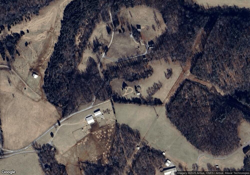
Map
Nearby Homes
- 0 Turkey Mountain Rd
- 2 Turkey Mountain Rd
- 243 Huff Creek Trail
- 929 Poor House Farm Rd
- 0 Huff Creek Trail
- 181 Mobley Mountain Rd
- 181 Mobley Mtn Rd
- 102 Fawn Ct
- 2288 Lexington Turnpike
- 0.50ac Lexington Turnpike
- 1192 N Amherst Hwy
- 176 N Main St
- 120 N Main St
- 260 N Main St
- 14 Hartless Rd
- 10 Hartless Rd
- 2 Hartless Rd
- 561 Muddy Branch Rd
- 569 Muddy Branch Rd
- 657 Cherry Hill Rd
- 481 Muddy Branch Rd
- 577 Muddy Branch Rd
- 559 Muddy Branch Rd
- 534 Muddy Branch Rd
- 627 Cherry Hill Rd
- 661 Cherry Hill Rd
- 699 Cherry Hill Rd
- 592 Cherry Hill Rd
- 610 Muddy Branch Rd
- 670 Cherry Hill Rd
- 765 Cherry Hill Rd
- 726 Cherry Hill Rd
- 528 Cherry Hill Rd
- 462 Cherry Hill Rd
- 712 Cherry Hill Rd
- 570 Cherry Hill Rd
- 778 Cherry Hill Rd