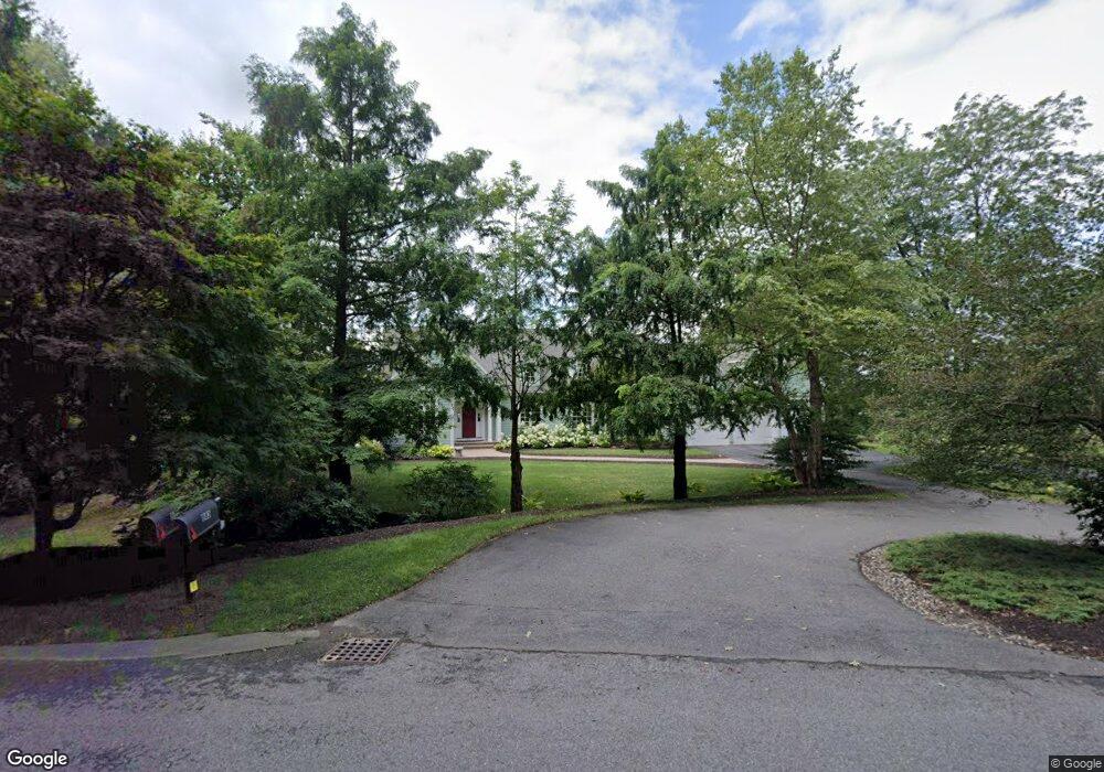
563 Ridge Rd Wilbraham, MA 01095
Estimated Value: $816,179 - $1,032,000
3
Beds
3
Baths
2,746
Sq Ft
$328/Sq Ft
Est. Value
About This Home
This home is located at 563 Ridge Rd, Wilbraham, MA 01095 and is currently estimated at $902,060, approximately $328 per square foot. 563 Ridge Rd is a home located in Hampden County with nearby schools including Minnechaug Regional High School and Wilbraham & Monson Academy.
Ownership History
Date
Name
Owned For
Owner Type
Purchase Details
Closed on
Sep 23, 2005
Sold by
Sturbridge Dev Llc and Pecoy Kent W
Bought by
Noonan Edward J
Current Estimated Value
Purchase Details
Closed on
Sep 23, 2004
Sold by
Mona C Drude Ft and Hartfield Diane
Bought by
Sturbridge Dev Llc and Pecoy Kent W
Home Financials for this Owner
Home Financials are based on the most recent Mortgage that was taken out on this home.
Original Mortgage
$172,000
Interest Rate
5.89%
Mortgage Type
Purchase Money Mortgage
Create a Home Valuation Report for This Property
The Home Valuation Report is an in-depth analysis detailing your home's value as well as a comparison with similar homes in the area
Home Values in the Area
Average Home Value in this Area
Purchase History
| Date | Buyer | Sale Price | Title Company |
|---|---|---|---|
| Noonan Edward J | $250,000 | -- | |
| Sturbridge Dev Llc | $215,000 | -- |
Source: Public Records
Mortgage History
| Date | Status | Borrower | Loan Amount |
|---|---|---|---|
| Previous Owner | Sturbridge Dev Llc | $172,000 |
Source: Public Records
Tax History Compared to Growth
Tax History
| Year | Tax Paid | Tax Assessment Tax Assessment Total Assessment is a certain percentage of the fair market value that is determined by local assessors to be the total taxable value of land and additions on the property. | Land | Improvement |
|---|---|---|---|---|
| 2025 | $14,395 | $805,100 | $241,800 | $563,300 |
| 2024 | $13,492 | $729,300 | $236,200 | $493,100 |
| 2023 | $13,341 | $678,200 | $236,200 | $442,000 |
| 2022 | $13,341 | $651,100 | $236,200 | $414,900 |
| 2021 | $14,068 | $612,700 | $218,000 | $394,700 |
| 2020 | $13,712 | $612,700 | $218,000 | $394,700 |
| 2019 | $13,357 | $612,700 | $218,000 | $394,700 |
| 2018 | $12,835 | $566,900 | $218,000 | $348,900 |
| 2017 | $12,472 | $566,900 | $218,000 | $348,900 |
| 2016 | $12,027 | $556,800 | $241,900 | $314,900 |
| 2015 | $11,626 | $556,800 | $241,900 | $314,900 |
Source: Public Records
Map
Nearby Homes
- 474 Mountain Rd
- 474-480 Mountain Rd
- 12 Highridge Rd
- 6 Hilltop Park
- 603 Glendale Rd
- 20 Old Orchard Rd
- 2 Bayberry Dr Unit 51
- 68 Monson Rd
- 2 Vista Rd
- 28 Decorie Dr
- 8 Patriot Ridge Ln
- 182 Mountain Rd
- 17 Peak Rd
- 79 High Pine Cir
- 69 High Pine Cir
- 54 High Pine Cir
- 733 Monson Rd
- 60 Lakeshore Dr
- 35 Lake Dr
- 4 Hillcrest Dr