563 Trolling Ln Corolla, NC 27927
Estimated Value: $627,000 - $694,000
3
Beds
2
Baths
1,940
Sq Ft
$341/Sq Ft
Est. Value
About This Home
This home is located at 563 Trolling Ln, Corolla, NC 27927 and is currently estimated at $660,662, approximately $340 per square foot. 563 Trolling Ln is a home with nearby schools including Knotts Island Elementary School, Currituck County Middle School, and Currituck County High School.
Ownership History
Date
Name
Owned For
Owner Type
Purchase Details
Closed on
Apr 28, 2021
Sold by
King Evelyn R and Evelyn R King Living Trust
Bought by
Payne Holdings Llc
Current Estimated Value
Home Financials for this Owner
Home Financials are based on the most recent Mortgage that was taken out on this home.
Original Mortgage
$380,000
Outstanding Balance
$341,603
Interest Rate
3%
Mortgage Type
Purchase Money Mortgage
Estimated Equity
$319,059
Purchase Details
Closed on
Jun 9, 1995
Bought by
King, Evelyn R Trustee
Create a Home Valuation Report for This Property
The Home Valuation Report is an in-depth analysis detailing your home's value as well as a comparison with similar homes in the area
Home Values in the Area
Average Home Value in this Area
Purchase History
| Date | Buyer | Sale Price | Title Company |
|---|---|---|---|
| Payne Holdings Llc | $400,000 | None Available | |
| King, Evelyn R Trustee | $190,000 | -- |
Source: Public Records
Mortgage History
| Date | Status | Borrower | Loan Amount |
|---|---|---|---|
| Open | Payne Holdings Llc | $380,000 |
Source: Public Records
Tax History
| Year | Tax Paid | Tax Assessment Tax Assessment Total Assessment is a certain percentage of the fair market value that is determined by local assessors to be the total taxable value of land and additions on the property. | Land | Improvement |
|---|---|---|---|---|
| 2025 | $4,693 | $383,300 | $180,000 | $203,300 |
| 2024 | $4,677 | $383,300 | $180,000 | $203,300 |
| 2023 | $4,346 | $383,300 | $180,000 | $203,300 |
| 2022 | $3,438 | $383,300 | $180,000 | $203,300 |
| 2021 | $3,030 | $348,600 | $160,000 | $188,600 |
| 2020 | $2,740 | $348,600 | $160,000 | $188,600 |
| 2019 | $2,740 | $348,600 | $160,000 | $188,600 |
| 2018 | $0 | $348,600 | $160,000 | $188,600 |
| 2017 | $2,577 | $348,600 | $160,000 | $188,600 |
| 2016 | $2,327 | $348,600 | $160,000 | $188,600 |
| 2015 | -- | $348,600 | $160,000 | $188,600 |
Source: Public Records
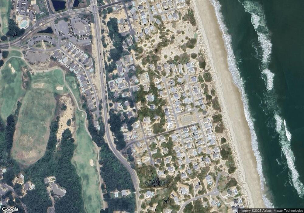
Map
Nearby Homes
- 551 White Whale Way Unit Lot 220D
- 544 Trolling Ln Unit lot201G
- 0 Ocean Trail Unit Lots
- 600 Cottage Ln
- 600 Cottage Ln Unit Lot1
- 601 Schooner Ridge Unit Lot V
- 504 Sandbucket Arch Unit Lot 150
- 584 Hunt Club Dr Unit 142
- 632 Hunt Club Dr Unit Lot 174R
- 632 Surf Song Ct Unit Lot 312
- 605 Saltspray Ct Unit Lot 332
- 642 Hunt Club Dr Unit Lot 186
- 650 Windswept Ridge Ln Unit Lot 444
- 627 Sand Fiddler Cir Unit B-1
- 626 Sand Fiddler Cir Unit Lot 22
- 550 Ocean Trail Unit 131
- 573 Live Oak Ct Unit Lot 79
- 652 Ocean Ridge Ct Unit Lot 435
- 653E Sand and Sea Ct Unit 415
- 655 Ocean Ridge Ct Unit Lot 433
- 565 Trolling Ln Unit Lot 252B
- 565 Trolling Ln
- 557 Trolling Ln Unit Lot 251B
- 557 Trolling Ln
- 559 Trolling Ln Unit 251A
- 559 Trolling Ln
- 556G White Whale Way
- 556F White Whale Way
- 556D White Whale Way
- 556B White Whale Way
- 556A White Whale Way
- 564 White Whale Way
- 556E White Whale Way Unit E
- 556 White Whale Way Unit 6
- 556 White Whale Way
- 556E White Whale Way
- 571 Trolling Ln
- 556 White Whale Way
- 566 White Whale Way
- 560 Trolling Ln
Your Personal Tour Guide
Ask me questions while you tour the home.