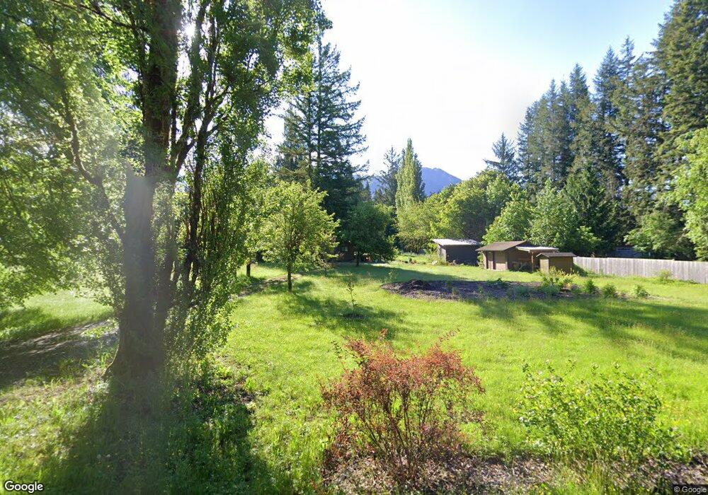
5630 N Fork Rd Deming, WA 98244
Estimated Value: $296,000 - $468,000
1
Bed
1
Bath
630
Sq Ft
$613/Sq Ft
Est. Value
About This Home
This home is located at 5630 N Fork Rd, Deming, WA 98244 and is currently estimated at $386,036, approximately $612 per square foot. 5630 N Fork Rd is a home located in Whatcom County with nearby schools including Mount Baker Senior High School.
Ownership History
Date
Name
Owned For
Owner Type
Purchase Details
Closed on
Jun 13, 2021
Sold by
Bell Robert L K
Bought by
Bell Natasha G
Current Estimated Value
Purchase Details
Closed on
Mar 14, 2019
Sold by
Cherney Christopher and Bell Natasha G
Bought by
Bell Natasha G
Purchase Details
Closed on
Mar 8, 2019
Sold by
Woerpel Bernd
Bought by
Bell Robert L K and Bell Marjorie J
Create a Home Valuation Report for This Property
The Home Valuation Report is an in-depth analysis detailing your home's value as well as a comparison with similar homes in the area
Home Values in the Area
Average Home Value in this Area
Purchase History
| Date | Buyer | Sale Price | Title Company |
|---|---|---|---|
| Bell Natasha G | $313 | None Listed On Document | |
| Bell Natasha G | -- | Chicago Title Insurance | |
| Bell Robert L K | $195,000 | Chicago Title Insurance |
Source: Public Records
Tax History Compared to Growth
Tax History
| Year | Tax Paid | Tax Assessment Tax Assessment Total Assessment is a certain percentage of the fair market value that is determined by local assessors to be the total taxable value of land and additions on the property. | Land | Improvement |
|---|---|---|---|---|
| 2024 | $2,615 | $361,020 | $225,036 | $135,984 |
| 2023 | $2,615 | $352,635 | $214,459 | $138,176 |
| 2022 | $2,117 | $289,038 | $175,782 | $113,256 |
| 2021 | $2,005 | $233,093 | $141,758 | $91,335 |
| 2020 | $1,845 | $197,535 | $120,133 | $77,402 |
| 2019 | $1,649 | $174,043 | $105,846 | $68,197 |
| 2018 | $2,085 | $167,801 | $102,050 | $65,751 |
| 2017 | $1,883 | $166,663 | $96,353 | $70,310 |
| 2016 | $1,811 | $160,877 | $93,008 | $67,869 |
| 2015 | $1,697 | $153,643 | $88,826 | $64,817 |
| 2014 | -- | $144,673 | $83,640 | $61,033 |
| 2013 | -- | $144,673 | $83,640 | $61,033 |
Source: Public Records
Map
Nearby Homes
- 5463 Mosquito Lake Rd
- 0 N Fork Rd
- 5860 Bell Creek Logging Rd
- 5510 Mt Baker Hwy
- 5888 Mount Baker Hwy
- 5070 Deming Rd
- 5718 Schornbush Rd
- 0 Mt Baker Hwy Unit NWM2371192
- 8290 Mount Baker Hwy
- 5458 Mount Baker Hwy
- 4120 Valley Hwy
- 6373 Eastwood Rd
- 7019 Mount Baker Hwy
- 4086 Valley Hwy
- 4126 Caron Rd
- 118 5 Big River Blvd W
- 6483 Mt Baker Hwy
- 11 5 Big River Blvd SW
- 134 5 W Big River Blvd
- 4290 Mt Baker Hwy
- 5642 N Fork Rd
- 5618 N Fork Rd
- 5616 N Fork Rd
- 5615 N Fork Rd
- 5656 N Fork Rd
- 5605 N Fork Rd
- 5670 N Fork Rd
- 5583 N Fork Rd
- 5578 Olive Rd
- 5578 Olive Rd
- 5586 Olive Rd
- 5560 Olive Rd
- 5561 N Fork Rd
- 5549 N Fork Rd
- 5565 Olive Rd
- 5714 N Fork Rd
- 5551 Olive Rd
- 5522 Mosquito Lake Rd
- 5527 Mosquito Lake Rd
- 5523 Mosquito Lake Rd