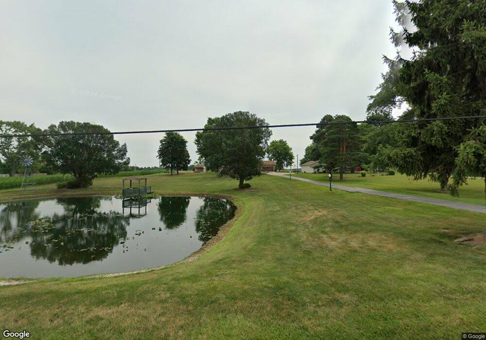
5630 Oakhill Ave NE Alliance, OH 44601
Estimated Value: $253,000 - $298,000
3
Beds
2
Baths
2,364
Sq Ft
$117/Sq Ft
Est. Value
About This Home
This home is located at 5630 Oakhill Ave NE, Alliance, OH 44601 and is currently estimated at $275,500, approximately $116 per square foot. 5630 Oakhill Ave NE is a home located in Stark County with nearby schools including Marlington High School.
Ownership History
Date
Name
Owned For
Owner Type
Purchase Details
Closed on
Nov 23, 2021
Sold by
Cook Jean M
Bought by
Gibson Chris J and Gibson Angela J
Current Estimated Value
Home Financials for this Owner
Home Financials are based on the most recent Mortgage that was taken out on this home.
Original Mortgage
$254,700
Outstanding Balance
$233,583
Interest Rate
3.05%
Mortgage Type
New Conventional
Estimated Equity
$41,917
Purchase Details
Closed on
Jun 23, 2008
Sold by
Cook Donald L and Cook Jean M
Bought by
Cook Donald L and Cook Jean M
Create a Home Valuation Report for This Property
The Home Valuation Report is an in-depth analysis detailing your home's value as well as a comparison with similar homes in the area
Home Values in the Area
Average Home Value in this Area
Purchase History
| Date | Buyer | Sale Price | Title Company |
|---|---|---|---|
| Gibson Chris J | $283,000 | Multiple | |
| Cook Donald L | -- | Attorney |
Source: Public Records
Mortgage History
| Date | Status | Borrower | Loan Amount |
|---|---|---|---|
| Open | Gibson Chris J | $254,700 |
Source: Public Records
Tax History Compared to Growth
Tax History
| Year | Tax Paid | Tax Assessment Tax Assessment Total Assessment is a certain percentage of the fair market value that is determined by local assessors to be the total taxable value of land and additions on the property. | Land | Improvement |
|---|---|---|---|---|
| 2025 | -- | $7,350 | $5,950 | $1,400 |
| 2024 | -- | $7,350 | $5,950 | $1,400 |
| 2023 | $174 | $5,460 | $3,990 | $1,470 |
| 2022 | $87 | $5,460 | $3,990 | $1,470 |
| 2021 | $155 | $4,830 | $3,570 | $1,260 |
| 2020 | $151 | $4,200 | $3,080 | $1,120 |
| 2019 | $150 | $4,210 | $3,080 | $1,130 |
| 2018 | $150 | $4,210 | $3,080 | $1,130 |
| 2017 | $158 | $4,110 | $2,980 | $1,130 |
| 2016 | $155 | $4,110 | $2,980 | $1,130 |
| 2015 | $78 | $4,110 | $2,980 | $1,130 |
| 2014 | $157 | $3,790 | $2,770 | $1,020 |
| 2013 | $720 | $44,560 | $6,340 | $38,220 |
Source: Public Records
Map
Nearby Homes
- 5334 Maplegrove Ave
- 13881 Salem Church St NE
- 11087 Louisville St
- 13479 Louisville St NE
- 13529 Louisville St NE
- 5869 Beechwood Ave
- 13591 Louisville St NE
- 0 Valewood Cir Unit 5006281
- 9734 Louisville St
- 2851 Patriots Path Unit 3D
- 0 Easton St NE
- 5495 Meese Rd NE
- 6052 N Nickelplate St
- 0 Winchester St
- 0 Winchester St Unit 5162877
- 1325 W Beech St
- 6434 Union Ave NE
- 3030 Center Ave
- 203 Brookfield St
- 1059 Oakwood Dr
- 5600 Oakhill Ave NE
- 5690 Oakhill Ave NE
- 5590 Oakhill Ave NE
- 5710 Oakhill Ave NE
- 5570 Oakhill Ave NE
- 5776 Oakhill Ave NE
- 5748 Oakhill Ave NE
- 5534 Oakhill Ave NE
- 5534 Oakhill Ave NE
- 5904 Oakhill Ave NE
- 5822 Oakhill Ave NE
- 5840 Oakhill Ave NE
- 5630 Oakhill Ave NE
- 5840 Oakhill Ave NE
- 5941 Oakhill Ave NE
- 5940 Oakhill St
- 5876 Oakhill Ave NE
- 12186 Cenfield St NE
- 12238 Cenfield St NE
- 12200 Cenfield St NE