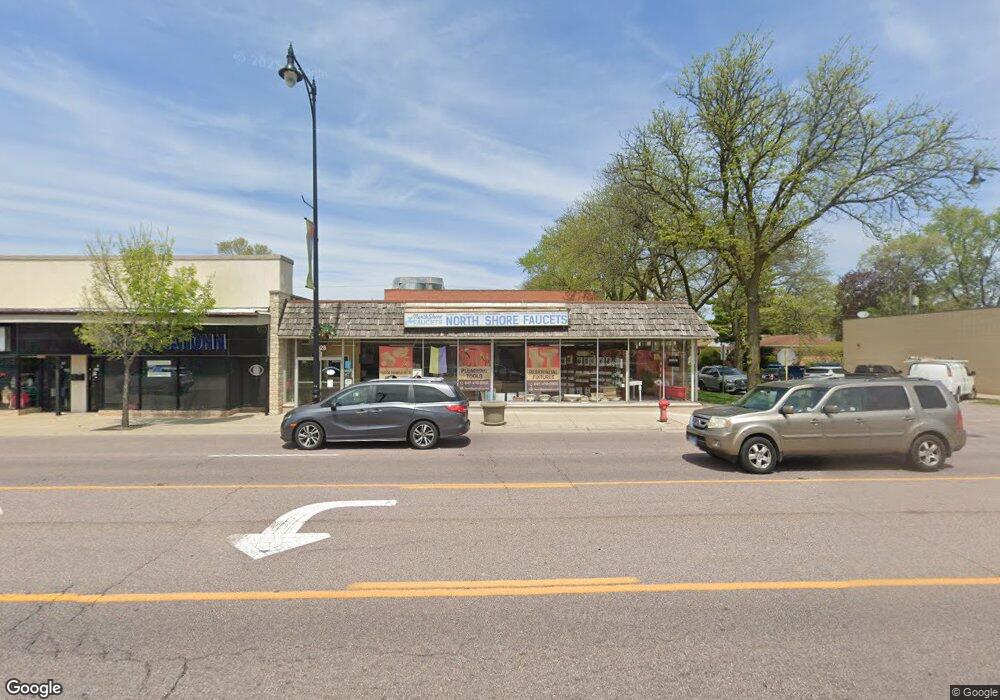
5630 W Dempster St Morton Grove, IL 60053
Estimated Value: $480,000 - $632,000
--
Bed
3
Baths
--
Sq Ft
3,136
Sq Ft Lot
About This Home
This home is located at 5630 W Dempster St, Morton Grove, IL 60053 and is currently estimated at $556,000. 5630 W Dempster St is a home located in Cook County with nearby schools including Park View Elementary School, Niles West High School, and Arie Crown Hebrew Day School.
Ownership History
Date
Name
Owned For
Owner Type
Purchase Details
Closed on
Oct 28, 2021
Sold by
5630 42 Dempster Llc
Bought by
Embroid With Us Inc and Greek Nation
Current Estimated Value
Purchase Details
Closed on
Aug 10, 2020
Sold by
Ahn Ye Sook and Ye Sook Ahn Revocable Trust
Bought by
5630 32 Dempster Llc
Purchase Details
Closed on
Nov 21, 2002
Sold by
Ahn Ye Sook
Bought by
Ahn Ye Sook and Kap Shik Ahn Family Trust
Purchase Details
Closed on
Sep 9, 1996
Sold by
Ahn Kap Shik and Ahn Ye Sook
Bought by
Ahn Kap Shik and Ahn Ye Sook
Create a Home Valuation Report for This Property
The Home Valuation Report is an in-depth analysis detailing your home's value as well as a comparison with similar homes in the area
Home Values in the Area
Average Home Value in this Area
Purchase History
| Date | Buyer | Sale Price | Title Company |
|---|---|---|---|
| Embroid With Us Inc | -- | Cambridge Title Company | |
| 5630 32 Dempster Llc | $310,000 | Chicago Title | |
| Ahn Ye Sook | -- | -- | |
| Ahn Kap Shik | -- | -- |
Source: Public Records
Tax History Compared to Growth
Tax History
| Year | Tax Paid | Tax Assessment Tax Assessment Total Assessment is a certain percentage of the fair market value that is determined by local assessors to be the total taxable value of land and additions on the property. | Land | Improvement |
|---|---|---|---|---|
| 2024 | $6,950 | $24,063 | $4,063 | $20,000 |
| 2023 | $6,622 | $24,063 | $4,063 | $20,000 |
| 2022 | $6,622 | $24,063 | $4,063 | $20,000 |
| 2021 | $6,466 | $20,160 | $2,500 | $17,660 |
| 2020 | $6,294 | $20,160 | $2,500 | $17,660 |
| 2019 | $6,488 | $23,173 | $2,500 | $20,673 |
| 2018 | $7,326 | $23,216 | $2,265 | $20,951 |
| 2017 | $7,380 | $23,216 | $2,265 | $20,951 |
| 2016 | $4,886 | $23,216 | $2,265 | $20,951 |
| 2015 | $5,519 | $19,422 | $1,953 | $17,469 |
| 2014 | $5,398 | $19,422 | $1,953 | $17,469 |
| 2013 | $5,400 | $19,422 | $1,953 | $17,469 |
Source: Public Records
Map
Nearby Homes
- 8708 Central Ave
- 8918 Parkside Ave
- 8841 Menard Ave
- 5536 Greenwood St
- 8836 Mansfield Ave
- 5459 Suffield Ct
- 8655 Harms Rd
- 5352 Greenwood St
- 8541 Lotus Ave Unit 914
- 5510 Lincoln Ave Unit B301
- 5510 Lincoln Ave Unit B101
- 5506 Lincoln Ave Unit A117
- 5506 Lincoln Ave Unit A216
- 5309 Crain St
- 8849 Mcvicker Ave
- 5449 Arcadia St
- 5500 Lincoln Ave Unit 407W
- 5500 Lincoln Ave Unit 116E
- 5500 Lincoln Ave Unit 109W
- 5501 Lincoln Ave Unit 203
- 5630 Dempster St
- 5632 Dempster St Unit 5630
- 5632 Dempster St
- 5628 Dempster St
- 5636 Dempster St
- 8814 Parkside Ave
- 5633 Dempster St
- 5633 Dempster St
- 5620 Dempster St
- 8811 Major Ave
- 8811 Major Ave
- 5631 Dempster St
- 8818 Parkside Ave
- 5616 Dempster St
- 5627 Dempster St
- 5627 Dempster St
- 8840 Parkside Ave
- 5621 Dempster St
- 5614 Dempster St
- 8817 Major Ave