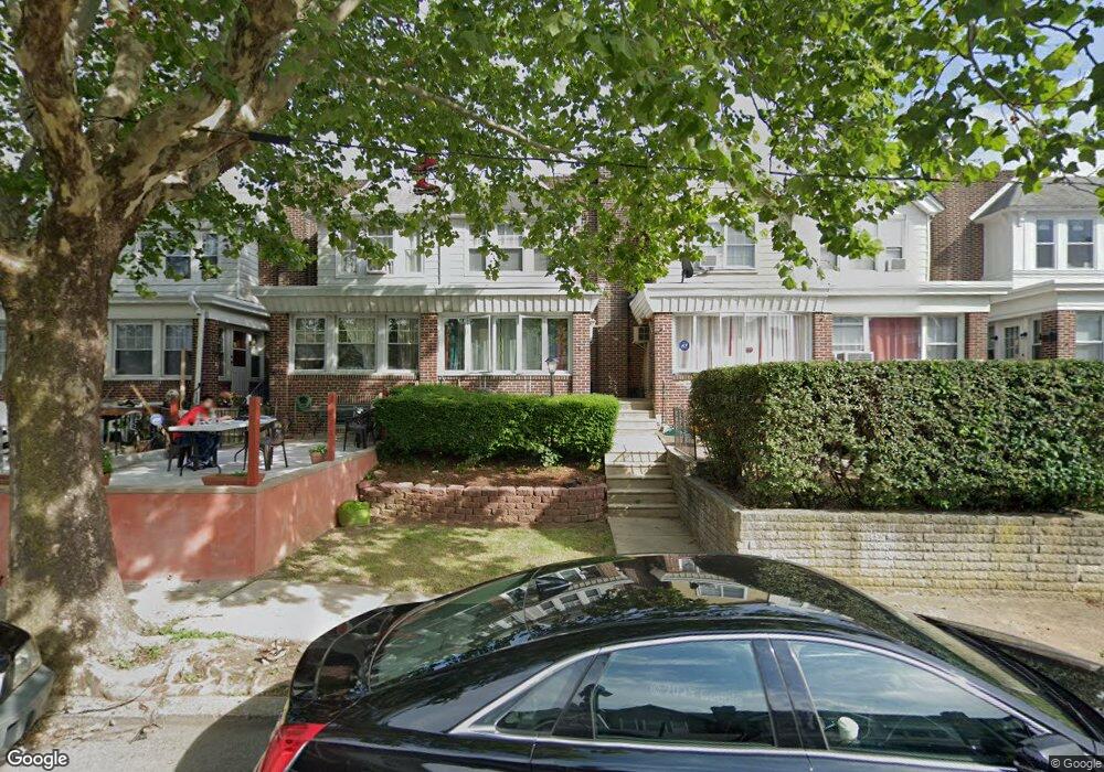
5631 Miriam Rd Philadelphia, PA 19124
Lawncrest NeighborhoodEstimated Value: $159,000 - $240,000
4
Beds
2
Baths
1,500
Sq Ft
$142/Sq Ft
Est. Value
About This Home
This home is located at 5631 Miriam Rd, Philadelphia, PA 19124 and is currently estimated at $212,437, approximately $141 per square foot. 5631 Miriam Rd is a home located in Philadelphia County with nearby schools including Laura H Carnell School, Harding Warren G Middle School, and Samuel Fels High School.
Ownership History
Date
Name
Owned For
Owner Type
Purchase Details
Closed on
Aug 6, 2010
Sold by
Groover Walter T and Melhulsh Paula A
Bought by
Easton Aisha
Current Estimated Value
Home Financials for this Owner
Home Financials are based on the most recent Mortgage that was taken out on this home.
Original Mortgage
$104,891
Outstanding Balance
$71,788
Interest Rate
5.25%
Mortgage Type
FHA
Estimated Equity
$140,649
Purchase Details
Closed on
Jul 3, 1997
Sold by
Melhuish Frederick W
Bought by
Groover Walter T and Melhuish Paula A
Create a Home Valuation Report for This Property
The Home Valuation Report is an in-depth analysis detailing your home's value as well as a comparison with similar homes in the area
Home Values in the Area
Average Home Value in this Area
Purchase History
| Date | Buyer | Sale Price | Title Company |
|---|---|---|---|
| Easton Aisha | $73,000 | First American Title Ins Co | |
| Groover Walter T | $30,000 | -- |
Source: Public Records
Mortgage History
| Date | Status | Borrower | Loan Amount |
|---|---|---|---|
| Open | Easton Aisha | $104,891 |
Source: Public Records
Tax History Compared to Growth
Tax History
| Year | Tax Paid | Tax Assessment Tax Assessment Total Assessment is a certain percentage of the fair market value that is determined by local assessors to be the total taxable value of land and additions on the property. | Land | Improvement |
|---|---|---|---|---|
| 2025 | $2,115 | $191,600 | $38,320 | $153,280 |
| 2024 | $2,115 | $191,600 | $38,320 | $153,280 |
| 2023 | $2,115 | $151,100 | $30,220 | $120,880 |
| 2022 | $829 | $106,100 | $30,220 | $75,880 |
| 2021 | $1,459 | $0 | $0 | $0 |
| 2020 | $1,459 | $0 | $0 | $0 |
| 2019 | $1,400 | $0 | $0 | $0 |
| 2018 | $974 | $0 | $0 | $0 |
| 2017 | $1,394 | $0 | $0 | $0 |
| 2016 | $974 | $0 | $0 | $0 |
| 2015 | $933 | $0 | $0 | $0 |
| 2014 | -- | $99,600 | $17,835 | $81,765 |
| 2012 | -- | $14,944 | $2,106 | $12,838 |
Source: Public Records
Map
Nearby Homes
- 5640 Miriam Rd
- 5659 Miriam Rd
- 5661 Miriam Rd
- 991 Carver St
- 996 Anchor St
- 972 Bridge St
- 934 Brill St
- 925 E Sanger St
- 1225 E Cheltenham Ave
- 1211 E Cheltenham Ave
- 929 1/2 Anchor St
- 5505 Loretto Ave
- 894 E Sanger St
- 1127 E Cheltenham Ave
- 1048 Bridge St
- 883 Brill St
- 894 Granite St
- 889 Anchor St
- 854 E Sanger St
- 5900 Loretto Ave
- 5629 Miriam Rd
- 5633 Miriam Rd
- 5627 Miriam Rd
- 5635 Miriam Rd
- 5625 Miriam Rd
- 5637 Miriam Rd
- 5623 Miriam Rd
- 5639 Miriam Rd
- 5641 Miriam Rd
- 5621 Miriam Rd
- 5619 Miriam Rd
- 5643 Miriam Rd
- 5324 E Roosevelt Blvd
- 5322 Roosevelt Blvd
- 5326 Roosevelt Blvd
- 5320 Roosevelt Blvd
- 5324 Roosevelt Blvd
- 5617 Miriam Rd
- 5328 Roosevelt Blvd
- 5318 Roosevelt Blvd