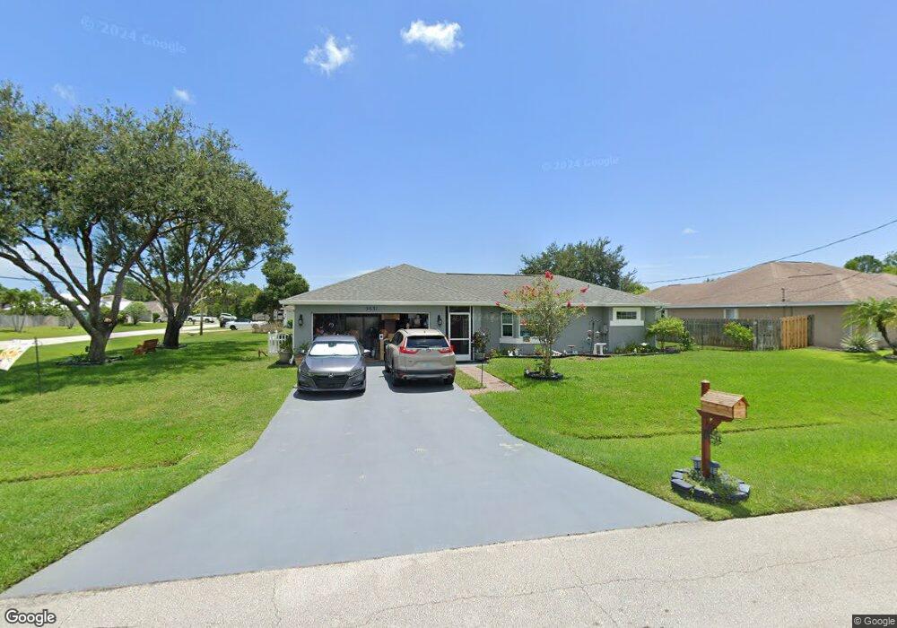
5631 NW Bluff Ct Port Saint Lucie, FL 34986
Torino NeighborhoodEstimated Value: $357,000 - $424,000
3
Beds
2
Baths
1,613
Sq Ft
$246/Sq Ft
Est. Value
About This Home
This home is located at 5631 NW Bluff Ct, Port Saint Lucie, FL 34986 and is currently estimated at $397,204, approximately $246 per square foot. 5631 NW Bluff Ct is a home located in St. Lucie County with nearby schools including West Gate K-8 School, Oak Hammock K-8 School, and Bayshore Elementary School.
Ownership History
Date
Name
Owned For
Owner Type
Purchase Details
Closed on
Mar 19, 1999
Sold by
Holiday Bldr Inc
Bought by
Patch Timothy J and Patch Pamela S
Current Estimated Value
Home Financials for this Owner
Home Financials are based on the most recent Mortgage that was taken out on this home.
Original Mortgage
$86,500
Outstanding Balance
$21,060
Interest Rate
6.82%
Estimated Equity
$376,144
Purchase Details
Closed on
Nov 4, 1998
Sold by
Junkere Nellie Weekes
Bought by
Holiday Bldr Inc
Create a Home Valuation Report for This Property
The Home Valuation Report is an in-depth analysis detailing your home's value as well as a comparison with similar homes in the area
Home Values in the Area
Average Home Value in this Area
Purchase History
| Date | Buyer | Sale Price | Title Company |
|---|---|---|---|
| Patch Timothy J | $91,100 | -- | |
| Holiday Bldr Inc | $6,000 | -- |
Source: Public Records
Mortgage History
| Date | Status | Borrower | Loan Amount |
|---|---|---|---|
| Open | Patch Timothy J | $86,500 |
Source: Public Records
Tax History Compared to Growth
Tax History
| Year | Tax Paid | Tax Assessment Tax Assessment Total Assessment is a certain percentage of the fair market value that is determined by local assessors to be the total taxable value of land and additions on the property. | Land | Improvement |
|---|---|---|---|---|
| 2024 | $2,619 | $135,213 | -- | -- |
| 2023 | $2,619 | $131,275 | $0 | $0 |
| 2022 | $2,491 | $127,452 | $0 | $0 |
| 2021 | $2,395 | $123,740 | $0 | $0 |
| 2020 | $2,400 | $122,032 | $0 | $0 |
| 2019 | $2,370 | $119,289 | $0 | $0 |
| 2018 | $2,244 | $117,065 | $0 | $0 |
| 2017 | $2,214 | $160,400 | $43,800 | $116,600 |
| 2016 | $2,177 | $165,600 | $32,300 | $133,300 |
| 2015 | $2,196 | $134,900 | $24,000 | $110,900 |
| 2014 | $2,090 | $110,635 | $0 | $0 |
Source: Public Records
Map
Nearby Homes
- 5522 NW Cordrey St
- 5540 Kyle Ct
- 5514 NW West Lundy Cir
- 5543 S Lundy Cir
- 5543 NW South Lundy Cir
- 5489 NW Brent Ct
- 5494 NW Brent Ct
- 5501 NW Camberly Ct
- 5475 NW Cambo Ct
- 5867 NW Carovel Ave Unit 77
- 5509 NW Camberly Ct
- 5834 NW Gillespie Ave
- 5814 Gillespie Ave
- 5334 NW Conley Dr
- 5865 NW Mesa Cir
- 5801 NW Dana Cir
- 5488 NW Boydga Ave
- 5793 NW Dublin Dr
- 5321 NW Conley Dr
- 5924 NW Foust Cir
- 5633 NW Bluff Ct
- 5759 NW Cotton Dr
- 5751 NW Cotton Dr
- 5530 NW Burgin St
- 5635 NW Bluff Ct
- 5632 NW Bluff Ct
- 5761 NW Cotton Dr
- 5531 NW Burgin St
- 5521 NW Cordrey St
- 5634 NW Bluff Ct
- 5749 NW Cotton Dr
- 5532 NW Burgin St
- 5763 NW Cotton Dr
- 5758 NW Cotton Dr
- 5636 NW Bluff Ct
- 5523 NW Cordrey St
- 5534 NW Burgin St
- 5747 NW Cotton Dr
- 5537 NW Bergin
- 5765 NW Cotton Dr