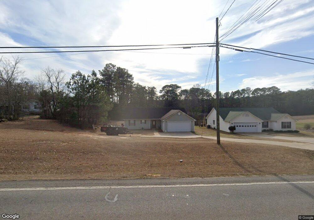
5631 Salem Rd Covington, GA 30016
Estimated Value: $245,000 - $266,000
3
Beds
2
Baths
1,396
Sq Ft
$182/Sq Ft
Est. Value
About This Home
This home is located at 5631 Salem Rd, Covington, GA 30016 and is currently estimated at $253,391, approximately $181 per square foot. 5631 Salem Rd is a home located in Newton County with nearby schools including South Salem Elementary School, Liberty Middle School, and Alcovy High School.
Ownership History
Date
Name
Owned For
Owner Type
Purchase Details
Closed on
Jan 16, 2009
Sold by
Citicorp Trust Bank Fsb
Bought by
Cowan Barry
Current Estimated Value
Purchase Details
Closed on
May 6, 2008
Sold by
Phillip K
Bought by
Citicorp Trust Bk
Purchase Details
Closed on
Nov 30, 2000
Sold by
Apachee Homes Inc
Bought by
Smith Phillip K
Home Financials for this Owner
Home Financials are based on the most recent Mortgage that was taken out on this home.
Original Mortgage
$94,091
Interest Rate
7.71%
Mortgage Type
FHA
Create a Home Valuation Report for This Property
The Home Valuation Report is an in-depth analysis detailing your home's value as well as a comparison with similar homes in the area
Home Values in the Area
Average Home Value in this Area
Purchase History
| Date | Buyer | Sale Price | Title Company |
|---|---|---|---|
| Cowan Barry | $60,000 | -- | |
| Citicorp Trust Bk | $105,867 | -- | |
| Smith Phillip K | $94,900 | -- |
Source: Public Records
Mortgage History
| Date | Status | Borrower | Loan Amount |
|---|---|---|---|
| Previous Owner | Smith Phillip K | $94,091 |
Source: Public Records
Tax History Compared to Growth
Tax History
| Year | Tax Paid | Tax Assessment Tax Assessment Total Assessment is a certain percentage of the fair market value that is determined by local assessors to be the total taxable value of land and additions on the property. | Land | Improvement |
|---|---|---|---|---|
| 2024 | $2,378 | $93,880 | $6,640 | $87,240 |
| 2023 | $2,365 | $87,160 | $6,640 | $80,520 |
| 2022 | $1,865 | $68,720 | $6,640 | $62,080 |
| 2021 | $1,657 | $54,640 | $6,640 | $48,000 |
| 2020 | $1,693 | $50,400 | $6,480 | $43,920 |
| 2019 | $1,517 | $44,480 | $8,480 | $36,000 |
| 2018 | $1,501 | $43,720 | $8,480 | $35,240 |
| 2017 | $1,279 | $37,240 | $7,080 | $30,160 |
| 2016 | $1,125 | $32,760 | $7,080 | $25,680 |
| 2015 | $1,085 | $31,600 | $7,080 | $24,520 |
| 2014 | $782 | $22,840 | $0 | $0 |
Source: Public Records
Map
Nearby Homes
- 60 Knights Cir
- 5798 Salem Rd
- 140 Sunflower Ln
- 15 Lisa Ct
- 230 Lynn Dr
- 0 Eleanor Dr Unit 10443925
- 115 Randy Trace
- 85 Lakeside Dr
- 145 Wynfield Way
- 165 Randy Trace
- 220 McGiboney Place
- 400 Oak Hill Dr
- 55 Twin Lakes Dr
- 145 McGiboney Place
- 0 Roseberry Rd
- 110 Twin Lakes Dr
- 75 Fox Chase
- 65 Heaton Place Trail
- 5617 Salem Rd
- 5645 Salem Rd
- 5608 Salem Rd
- 5649 Salem Rd
- 5592 Salem Rd
- 5622 Salem Rd
- 5647 Salem Rd
- 5574 Salem Rd
- 5651 Salem Rd
- 5670 Salem Rd
- 45 Knights Cir Unit 2
- 45 Knights Cir
- 5680 Salem Rd
- 5677 Salem Rd
- 35 Knights Cir
- 5700 Salem Rd
- 65 Knights Cir
- 46 Russell Braden Rd
- 76 Tanyard Rd
- 60 Russell Braden Rd