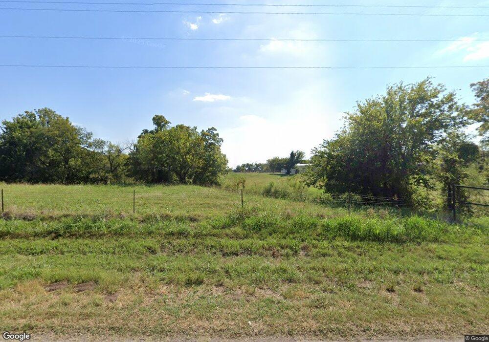
5632 Foreman Rd E El Reno, OK 73036
Estimated Value: $233,044 - $299,000
2
Beds
2
Baths
1,720
Sq Ft
$150/Sq Ft
Est. Value
About This Home
This home is located at 5632 Foreman Rd E, El Reno, OK 73036 and is currently estimated at $257,348, approximately $149 per square foot. 5632 Foreman Rd E is a home located in Canadian County.
Ownership History
Date
Name
Owned For
Owner Type
Purchase Details
Closed on
Jan 26, 2004
Sold by
Thornton Bobbie Marie
Bought by
Colby Michael W and Colby Tina M
Current Estimated Value
Home Financials for this Owner
Home Financials are based on the most recent Mortgage that was taken out on this home.
Original Mortgage
$171,600
Outstanding Balance
$80,200
Interest Rate
5.78%
Estimated Equity
$177,148
Purchase Details
Closed on
Dec 14, 2000
Sold by
Jerome Kathryn
Purchase Details
Closed on
Dec 13, 2000
Sold by
Hill Johanna and Hill John
Purchase Details
Closed on
Dec 11, 2000
Sold by
Cross Claire and Cross Allan
Purchase Details
Closed on
Aug 21, 2000
Sold by
Cross,Claire D Trustee
Create a Home Valuation Report for This Property
The Home Valuation Report is an in-depth analysis detailing your home's value as well as a comparison with similar homes in the area
Home Values in the Area
Average Home Value in this Area
Purchase History
| Date | Buyer | Sale Price | Title Company |
|---|---|---|---|
| Colby Michael W | $187,000 | -- | |
| -- | $33,500 | -- | |
| -- | $33,500 | -- | |
| -- | $33,500 | -- | |
| -- | -- | -- | |
| -- | -- | -- |
Source: Public Records
Mortgage History
| Date | Status | Borrower | Loan Amount |
|---|---|---|---|
| Open | Colby Michael W | $171,600 |
Source: Public Records
Tax History Compared to Growth
Tax History
| Year | Tax Paid | Tax Assessment Tax Assessment Total Assessment is a certain percentage of the fair market value that is determined by local assessors to be the total taxable value of land and additions on the property. | Land | Improvement |
|---|---|---|---|---|
| 2024 | $822 | $12,583 | $1,135 | $11,448 |
| 2023 | $822 | $12,216 | $1,134 | $11,082 |
| 2022 | $796 | $11,860 | $1,133 | $10,727 |
| 2021 | $772 | $11,514 | $1,132 | $10,382 |
| 2020 | $747 | $11,179 | $1,131 | $10,048 |
| 2019 | $724 | $10,854 | $1,130 | $9,724 |
| 2018 | $702 | $10,538 | $1,129 | $9,409 |
| 2017 | $680 | $10,230 | $1,127 | $9,103 |
| 2016 | $659 | $10,231 | $1,128 | $9,103 |
| 2015 | -- | $7,854 | $1,116 | $6,738 |
| 2014 | -- | $7,626 | $1,116 | $6,510 |
Source: Public Records
Map
Nearby Homes
- 0 S Radio Rd Unit 781180
- 1223 Land Run Way
- 5602 E Highway 66
- 2520 N Manning Rd
- 8248 Bluestem Trail
- Olympia Plan at Manning Farms
- Trenton Plan at Manning Farms
- Richmond Plan at Manning Farms
- Phoenix Plan at Manning Farms
- Lincoln Plan at Manning Farms
- Hartford Plan at Manning Farms
- Bismarck Plan at Manning Farms
- 0 Borders On 66hwy & Alfadale Rd's
- 3550 N Manning Rd
- 8229 Bluestem Trail
- 8218 Bluestem Trail
- 3501 Manning Farms Blvd
- 16751 W Wilshire Blvd
- 16925 W Wilshire Blvd
- 1601 S Shepard Ave
- 0 80 Acres Foreman Rd
- 80 80 Acres Foreman Rd
- 6511 Foreman Rd E
- 6211 Foreman Rd E
- 6211 Foreman Rd E
- 6211 Foreman Rd E
- 5108 Foreman Rd E
- 503 S Evans Rd
- 6507 Foreman Rd E
- 6503 Foreman Rd E
- 5002 Foreman Rd E
- 4926 Foreman Rd E
- 4926 Foreman Rd E
- 6512 Foreman Rd E
- 212 E Foreman Dr
- 681 S Radio Rd
- 0 N Radio Rd
- 4201 Foreman Rd E
