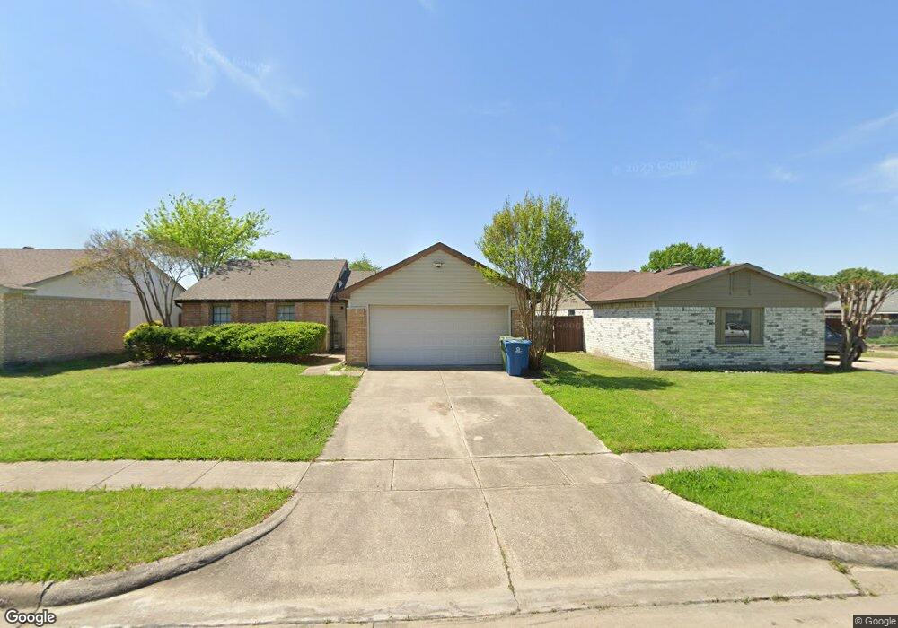
5632 Powers St the Colony, TX 75056
Estimated Value: $299,288 - $328,000
3
Beds
2
Baths
1,317
Sq Ft
$241/Sq Ft
Est. Value
About This Home
This home is located at 5632 Powers St, the Colony, TX 75056 and is currently estimated at $317,072, approximately $240 per square foot. 5632 Powers St is a home located in Denton County with nearby schools including B B Owen Elementary School, Griffin Middle School, and The Colony High School.
Ownership History
Date
Name
Owned For
Owner Type
Purchase Details
Closed on
May 7, 2024
Sold by
Buehlmaier Frank Paul and Buehlmaier Alma Nellie
Bought by
Buehlmaier Family Trust and Buehlmaier
Current Estimated Value
Purchase Details
Closed on
Jun 14, 2005
Sold by
Cendant Mobility Financial Corp
Bought by
Buehlmaier Frank and Buehlmaier Alma N
Home Financials for this Owner
Home Financials are based on the most recent Mortgage that was taken out on this home.
Original Mortgage
$84,000
Interest Rate
5.51%
Mortgage Type
Fannie Mae Freddie Mac
Purchase Details
Closed on
May 6, 2005
Sold by
Shaw Mark Adrian and Shaw Karen Johanna
Bought by
Cendant Mobility Financial Corp
Home Financials for this Owner
Home Financials are based on the most recent Mortgage that was taken out on this home.
Original Mortgage
$84,000
Interest Rate
5.51%
Mortgage Type
Fannie Mae Freddie Mac
Create a Home Valuation Report for This Property
The Home Valuation Report is an in-depth analysis detailing your home's value as well as a comparison with similar homes in the area
Home Values in the Area
Average Home Value in this Area
Purchase History
| Date | Buyer | Sale Price | Title Company |
|---|---|---|---|
| Buehlmaier Family Trust | -- | None Listed On Document | |
| Buehlmaier Frank Paul | -- | None Listed On Document | |
| Buehlmaier Frank | -- | Allegiance Title | |
| Cendant Mobility Financial Corp | -- | Allegiance Title |
Source: Public Records
Mortgage History
| Date | Status | Borrower | Loan Amount |
|---|---|---|---|
| Previous Owner | Buehlmaier Frank | $84,000 | |
| Closed | Buehlmaier Frank | $10,500 |
Source: Public Records
Tax History Compared to Growth
Tax History
| Year | Tax Paid | Tax Assessment Tax Assessment Total Assessment is a certain percentage of the fair market value that is determined by local assessors to be the total taxable value of land and additions on the property. | Land | Improvement |
|---|---|---|---|---|
| 2025 | $5,369 | $261,198 | $69,300 | $191,898 |
| 2024 | $5,369 | $276,675 | $69,300 | $207,375 |
| 2023 | $5,611 | $286,340 | $59,400 | $226,940 |
| 2022 | $5,470 | $260,554 | $59,400 | $201,154 |
| 2021 | $4,313 | $193,648 | $46,200 | $147,448 |
| 2020 | $4,226 | $190,107 | $46,200 | $143,907 |
| 2019 | $4,465 | $194,526 | $46,200 | $148,326 |
| 2018 | $3,734 | $161,615 | $46,200 | $115,415 |
| 2017 | $3,304 | $141,438 | $34,320 | $107,118 |
| 2016 | $2,974 | $127,310 | $34,320 | $92,990 |
| 2015 | $2,301 | $110,086 | $18,810 | $91,276 |
| 2014 | $2,301 | $95,000 | $18,810 | $76,190 |
| 2013 | -- | $99,539 | $18,810 | $80,729 |
Source: Public Records
Map
Nearby Homes
- 5613 Woodlands Dr
- 5617 Woodlands Dr
- 5621 Woodlands Dr
- 5612 Pearce St
- 5548 Rice Dr
- 5528 King Dr
- 5549 Ragan Dr
- 5500 Slay Dr
- 5633 Trego St
- 5529 Gates Dr
- 5400 N Colony Blvd
- 5632 Westwood Ln
- 5841 Baker Dr
- 5512 Gates Dr
- 5912 Madison Dr
- 5605 Overland Dr
- 5305 Sagers Blvd
- 5633 Westwood Ln
- 5513 Rearn Dr
- 6705 Matson Dr