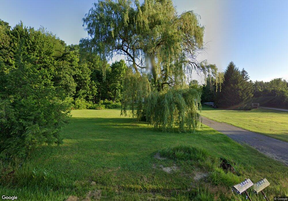
5632 Shoaff Rd Fort Wayne, IN 46818
Estimated Value: $428,000 - $729,000
2
Beds
3
Baths
2,967
Sq Ft
$182/Sq Ft
Est. Value
About This Home
This home is located at 5632 Shoaff Rd, Fort Wayne, IN 46818 and is currently estimated at $541,222, approximately $182 per square foot. 5632 Shoaff Rd is a home located in Allen County with nearby schools including Huntertown Elementary School, Carroll Middle School, and Carroll High School.
Ownership History
Date
Name
Owned For
Owner Type
Purchase Details
Closed on
Oct 11, 2002
Sold by
Atkinson Harold D and Quillen Jenna K
Bought by
Mojtahedi Hamid
Current Estimated Value
Home Financials for this Owner
Home Financials are based on the most recent Mortgage that was taken out on this home.
Original Mortgage
$208,000
Outstanding Balance
$96,169
Interest Rate
8%
Estimated Equity
$445,053
Create a Home Valuation Report for This Property
The Home Valuation Report is an in-depth analysis detailing your home's value as well as a comparison with similar homes in the area
Purchase History
| Date | Buyer | Sale Price | Title Company |
|---|---|---|---|
| Mojtahedi Hamid | -- | Metropolitan Title Indiana L |
Source: Public Records
Mortgage History
| Date | Status | Borrower | Loan Amount |
|---|---|---|---|
| Open | Mojtahedi Hamid | $208,000 |
Source: Public Records
Tax History Compared to Growth
Tax History
| Year | Tax Paid | Tax Assessment Tax Assessment Total Assessment is a certain percentage of the fair market value that is determined by local assessors to be the total taxable value of land and additions on the property. | Land | Improvement |
|---|---|---|---|---|
| 2025 | $3,735 | $440,800 | $114,300 | $326,500 |
| 2024 | $3,466 | $420,600 | $114,300 | $306,300 |
| 2023 | $3,461 | $394,100 | $102,800 | $291,300 |
| 2022 | $3,153 | $372,100 | $79,700 | $292,400 |
| 2021 | $2,841 | $315,700 | $79,700 | $236,000 |
| 2020 | $2,462 | $267,700 | $79,700 | $188,000 |
| 2019 | $2,405 | $254,300 | $79,700 | $174,600 |
| 2018 | $2,234 | $233,700 | $72,700 | $161,000 |
| 2017 | $2,246 | $222,000 | $72,700 | $149,300 |
| 2016 | $2,315 | $221,800 | $72,700 | $149,100 |
| 2014 | $2,433 | $213,100 | $73,300 | $139,800 |
| 2013 | $2,461 | $202,500 | $73,300 | $129,200 |
Source: Public Records
Map
Nearby Homes
- 7722 W Greenwell Rd
- 5532 Broad Fields Cove Unit 29
- 5554 Broad Fields Cove Unit 30
- 5494 Broad Fields Cove Unit 27
- 5510 Broad Fields Cove Unit 28
- 5390 Broad Fields Cove Unit 22
- 5566 Broad Fields Cove Unit 31
- 5578 Broad Fields Cove Unit 32
- 5334 Broad Fields Cove Unit 19
- 5298 Broad Fields Cove Unit 17
- TBD Hand Rd
- 5174 Broad Fields Cove Unit 11
- 5198 Broad Fields Cove Unit 12
- 5150 Cove Unit 9
- 5598 Broad Fields Cove
- 5501 Broad Fields Cove Unit 41
- 13386 Vista Verde Blvd Unit 7
- 5409 Broad Fields Cove Unit 45
- 13374 Vista Verde Blvd Unit 6
- 5177 Broad Fields Cove Unit 54
- 5610 Shoaff Rd
- 5810 Shoaff Rd
- 5626 Shoaff Rd
- 5426 Shoaff Rd
- 5433 Shoaff Rd
- 5411 Shoaff Rd
- 5404 Shoaff Rd
- 6300 Greenwell Rd
- 5232 Shoaff Rd
- 5521 Shoaff Rd
- 5130 Shoaff Rd
- 6125 Shoaff Rd
- 6209 Shoaff Rd
- 5105 Shoaff Rd
- 15821 Hand Rd
- 5403 W Greenwell Rd
- 5401 W Greenwell Rd
- 15434 Hilger Rd
- 15917 Hand Rd
- 5809 Greenwell Rd