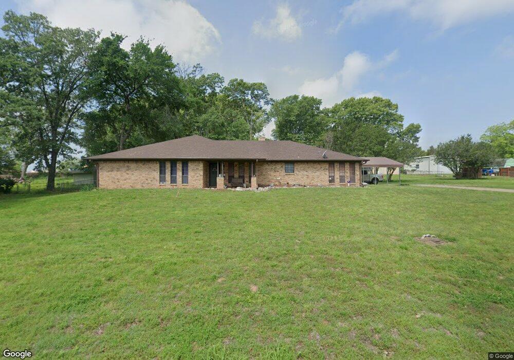
5633 Stonecreek Dr Durant, OK 74701
Estimated Value: $298,000 - $378,000
4
Beds
2
Baths
2,735
Sq Ft
$122/Sq Ft
Est. Value
About This Home
This home is located at 5633 Stonecreek Dr, Durant, OK 74701 and is currently estimated at $334,731, approximately $122 per square foot. 5633 Stonecreek Dr is a home located in Bryan County with nearby schools including Northwest Heights Elementary School, Washington Irving Elementary School, and Durant Intermediate Elementary School.
Ownership History
Date
Name
Owned For
Owner Type
Purchase Details
Closed on
Dec 2, 2009
Sold by
South Austin Investments Llc
Bought by
Dickey Michael A and Dickey Charlotte A Hisaw
Current Estimated Value
Home Financials for this Owner
Home Financials are based on the most recent Mortgage that was taken out on this home.
Original Mortgage
$154,900
Interest Rate
4.99%
Mortgage Type
Purchase Money Mortgage
Purchase Details
Closed on
Jun 12, 2008
Sold by
Mitchell Juanita V and Mitchell Willis Eugene
Bought by
South Austin Investments Llc
Create a Home Valuation Report for This Property
The Home Valuation Report is an in-depth analysis detailing your home's value as well as a comparison with similar homes in the area
Home Values in the Area
Average Home Value in this Area
Purchase History
| Date | Buyer | Sale Price | Title Company |
|---|---|---|---|
| Dickey Michael A | $165,500 | None Available | |
| South Austin Investments Llc | $95,000 | None Available |
Source: Public Records
Mortgage History
| Date | Status | Borrower | Loan Amount |
|---|---|---|---|
| Previous Owner | Dickey Michael A | $154,900 |
Source: Public Records
Tax History Compared to Growth
Tax History
| Year | Tax Paid | Tax Assessment Tax Assessment Total Assessment is a certain percentage of the fair market value that is determined by local assessors to be the total taxable value of land and additions on the property. | Land | Improvement |
|---|---|---|---|---|
| 2024 | $1,562 | $17,040 | $1,774 | $15,266 |
| 2023 | $1,562 | $16,378 | $1,774 | $14,604 |
| 2022 | $1,444 | $16,378 | $1,774 | $14,604 |
| 2021 | $1,479 | $16,378 | $1,774 | $14,604 |
| 2020 | $1,477 | $16,378 | $1,774 | $14,604 |
| 2019 | $1,414 | $16,600 | $1,774 | $14,826 |
| 2018 | $1,546 | $18,205 | $2,200 | $16,005 |
| 2017 | $1,536 | $18,205 | $2,200 | $16,005 |
| 2016 | $1,549 | $18,205 | $2,200 | $16,005 |
| 2015 | $1,543 | $18,205 | $1,650 | $16,555 |
| 2014 | $1,542 | $18,205 | $1,650 | $16,555 |
Source: Public Records
Map
Nearby Homes
- 1425 Folsom Rd
- 5616 Stonecreek Dr
- 4906 Peppernut Ln
- 5353 Stonebriar Cir
- 1602 Felice Ln
- 001 Knight Dr
- 5301 Stonebriar Cir
- 129 Highland Dr
- 959 Knight Dr
- 2223 Fisherman Ln
- 4001 N Washington Ave
- 00 Sandstone
- 18 Sandwedge
- 0 N Washington Ave
- 0 Sand Trap Dr
- 19 Skylark Ln
- 236 Grove Way
- 19 Blake Ln
- 20 Blake Ln
- 409 Roadrunner Dr
- 5631 Stonecreek Dr
- 5635 Stonecreek Dr
- 5634 Stonecreek Dr
- 5604 Benjamin Dr
- 5606 Benjamin Dr
- 1021 Folsom Rd Unit Melissa Drive
- 1021 Folsom Rd
- 5602 Benjamin Dr
- 1317 Folsom Rd
- 1309 Folsom Rd
- 5632 Stonecreek Dr
- 5636 Stonecreek Dr
- 5629 Stonecreek Dr
- 12 Folsom
- 11 Folsom
- 5608 Benjamin Dr
- 5603 Benjamin Dr
- 5605 Benjamin Dr
- 5601 Benjamin Dr