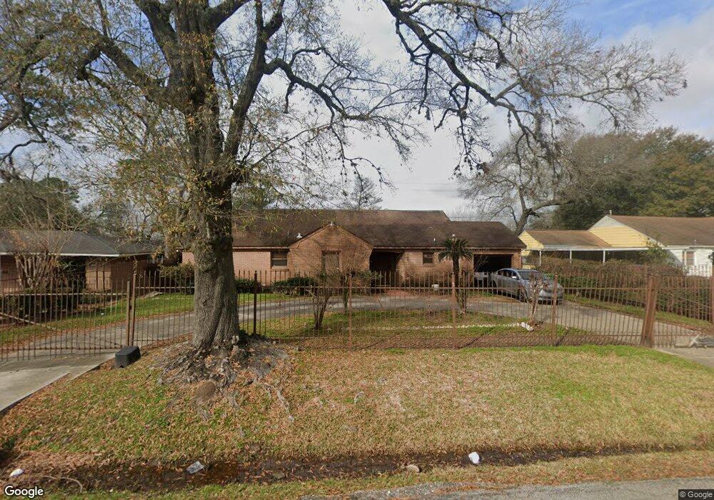
5634 Milart St Houston, TX 77021
OST-South Union NeighborhoodEstimated Value: $352,000 - $403,955
3
Beds
4
Baths
2,706
Sq Ft
$142/Sq Ft
Est. Value
About This Home
This home is located at 5634 Milart St, Houston, TX 77021 and is currently estimated at $383,489, approximately $141 per square foot. 5634 Milart St is a home located in Harris County with nearby schools including Hartsfield Elementary Animal and Environmental Sciences Magnet, Cullen Middle School, and Yates High School.
Ownership History
Date
Name
Owned For
Owner Type
Purchase Details
Closed on
Mar 12, 2002
Sold by
Abernathy Helen M
Bought by
Jordan Crystal R
Current Estimated Value
Purchase Details
Closed on
Jan 31, 1997
Sold by
Lee Carl Edward and Lee Brenda M
Bought by
Jordan Homer J and Abernathy Helen M
Home Financials for this Owner
Home Financials are based on the most recent Mortgage that was taken out on this home.
Original Mortgage
$85,000
Interest Rate
7.64%
Create a Home Valuation Report for This Property
The Home Valuation Report is an in-depth analysis detailing your home's value as well as a comparison with similar homes in the area
Home Values in the Area
Average Home Value in this Area
Purchase History
| Date | Buyer | Sale Price | Title Company |
|---|---|---|---|
| Jordan Crystal R | -- | Chicago Title Insurance Co | |
| Jordan Homer J | $85,000 | American Title Company |
Source: Public Records
Mortgage History
| Date | Status | Borrower | Loan Amount |
|---|---|---|---|
| Previous Owner | Jordan Homer J | $85,000 |
Source: Public Records
Tax History Compared to Growth
Tax History
| Year | Tax Paid | Tax Assessment Tax Assessment Total Assessment is a certain percentage of the fair market value that is determined by local assessors to be the total taxable value of land and additions on the property. | Land | Improvement |
|---|---|---|---|---|
| 2025 | $5,122 | $357,240 | $141,975 | $215,265 |
| 2024 | $5,122 | $357,240 | $141,975 | $215,265 |
| 2023 | $5,122 | $383,557 | $141,975 | $241,582 |
| 2022 | $8,729 | $376,759 | $126,200 | $250,559 |
| 2021 | $7,852 | $336,912 | $110,425 | $226,487 |
| 2020 | $7,389 | $291,302 | $78,875 | $212,427 |
| 2019 | $6,907 | $261,101 | $70,988 | $190,113 |
| 2018 | $5,880 | $232,386 | $61,128 | $171,258 |
| 2017 | $4,768 | $180,359 | $47,325 | $133,034 |
| 2016 | $4,039 | $152,801 | $31,550 | $121,251 |
| 2015 | $2,824 | $125,459 | $31,550 | $93,909 |
| 2014 | $2,824 | $109,858 | $31,550 | $78,308 |
Source: Public Records
Map
Nearby Homes
- 5706 Milart St
- 5610 Milart St
- 4914 Gammage St
- 4910 Eppes St
- 4930 Culmore Dr
- 4918 Culmore Dr
- 5151 Martin Luther King Blvd
- 4826 Ventura Ln
- 5102 Cortelyou Ln
- 5831 Grace Ln
- 5822 Grace Ln
- 4807 Eppes St
- 5314 Dezirae Ln
- 4826 Culmore Dr
- 5002 Elizabeth City St
- 5004 Elizabeth City St
- 5142 Oasis Park
- 5902 Grace Ln
- 4838 Marietta Ln
- 4850 Marietta Ln
- 5702 Milart St
- 5630 Milart St
- 5755 Belvedere St
- 5763 Belvedere St
- 5626 Milart St
- 5633 Milart St
- 5767 Belvedere St
- 5707 Milart St
- 5751 Belvedere St
- 5620 Milart St
- 5711 Milart St
- 5747 Belvedere St
- 5625 Milart St
- 4950 Eppes St
- 4946 Winfree Dr
- 5621 Milart St
- 5743 Belvedere St
- 5618 Milart St
- 5750 Milart St
- 4946 Eppes St