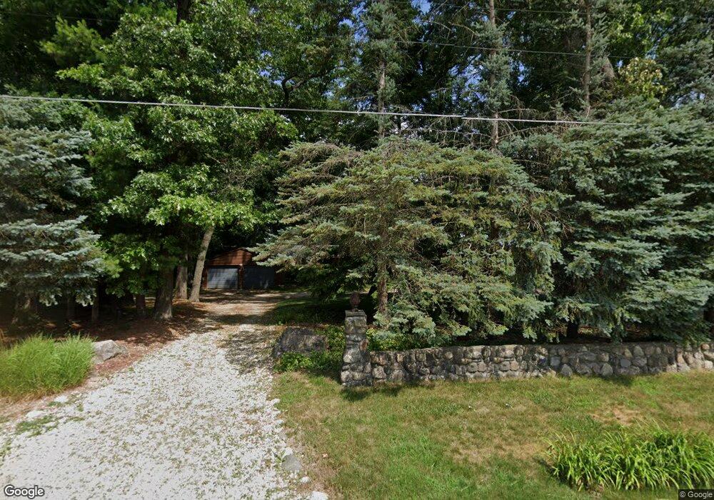
5634 Pear Ave Newaygo, MI 49337
Estimated Value: $425,000 - $643,000
5
Beds
3
Baths
3,250
Sq Ft
$164/Sq Ft
Est. Value
About This Home
This home is located at 5634 Pear Ave, Newaygo, MI 49337 and is currently estimated at $532,349, approximately $163 per square foot. 5634 Pear Ave is a home located in Newaygo County with nearby schools including Vera Wilsie Elementary School, Newaygo Elementary School, and Newaygo Middle School.
Ownership History
Date
Name
Owned For
Owner Type
Purchase Details
Closed on
Aug 16, 2024
Sold by
Fleet David P
Bought by
Fleet Matthew and Fleet Erin
Current Estimated Value
Purchase Details
Closed on
Nov 2, 2010
Sold by
Federal Home Loan Mortgage Corporation
Bought by
Fleet Daid P
Purchase Details
Closed on
Jan 5, 2010
Sold by
Brenner Raymond
Bought by
Federal Home Loan Mortgage Corporation
Purchase Details
Closed on
Dec 26, 2007
Sold by
Middleton Jeffrey L Trust
Bought by
Middleton Joseph J
Purchase Details
Closed on
Feb 2, 2006
Sold by
Middleton Trust Jeffrey J
Bought by
Middleton Sherry Lee
Purchase Details
Closed on
Dec 27, 2003
Sold by
Middleton Jeffrey J and Middleton Sherry L
Bought by
Middleton Jeffrey J and Jeffrey J Middleton Trust
Create a Home Valuation Report for This Property
The Home Valuation Report is an in-depth analysis detailing your home's value as well as a comparison with similar homes in the area
Purchase History
| Date | Buyer | Sale Price | Title Company |
|---|---|---|---|
| Fleet Matthew | $535,000 | -- | |
| Fleet Daid P | $200,000 | -- | |
| Federal Home Loan Mortgage Corporation | $364,036 | -- | |
| Middleton Joseph J | -- | -- | |
| Middleton Sherry Lee | -- | -- | |
| Middleton Jeffrey J | -- | -- | |
| Middleton Jeffrey J | -- | -- |
Source: Public Records
Tax History
| Year | Tax Paid | Tax Assessment Tax Assessment Total Assessment is a certain percentage of the fair market value that is determined by local assessors to be the total taxable value of land and additions on the property. | Land | Improvement |
|---|---|---|---|---|
| 2025 | $2,709 | $269,500 | $0 | $0 |
| 2024 | $26 | $205,100 | $0 | $0 |
| 2023 | $2,521 | $193,500 | $0 | $0 |
| 2022 | $4,372 | $182,100 | $0 | $0 |
| 2021 | $4,255 | $173,200 | $0 | $0 |
| 2020 | $4,297 | $172,200 | $0 | $0 |
| 2019 | $4,309 | $165,600 | $0 | $0 |
| 2018 | $4,321 | $138,400 | $0 | $0 |
| 2017 | $4,404 | $140,800 | $0 | $0 |
| 2016 | $4,312 | $140,300 | $0 | $0 |
| 2015 | -- | $139,400 | $0 | $0 |
| 2014 | -- | $138,800 | $0 | $0 |
Source: Public Records
Map
Nearby Homes
- 5710 Pear Ave
- 5450 Pear Ave
- 5752 E 52nd St
- 5980 Division St
- 5892 S Carrigan Dr
- 5557 Front St
- 4468 Teal Ln
- 5558 King St
- 4695 Miramar Ave
- 6716 Chapman Ave
- 3990 E Croton Dr
- 4987 E Manitou Way Unit 37
- 7901 S Potawatomi Unit 56
- 6830 E Carrigan Dr
- 6771 E 4 Seasons Dr
- 4997 S Croton Hardy Dr
- 3696 S Locust Ave
- 5007 E Manitou Way Unit 36
- 5900 E 36th St
- 3921 S Laurel Dr
- 5656 Pear Ave
- 5612 Butternut St
- 5676 Pear Ave
- 5608 Butternut St
- 5583 Butternut St
- 5694 Pear Ave
- 5598 Butternut St
- 5592 Butternut St
- 5576 Butternut St
- 5576 Butternut St
- 5720 Pear Ave
- 3282 E 128th St
- 5565 Butternut St
- 5560 Butternut St
- 5740 Pear Ave
- 5700 Pear Ave
- 5550 Butternut St
- 5556 Butternut St
- 5760 Pear Ave
- 5281 Woodside Dr
Your Personal Tour Guide
Ask me questions while you tour the home.