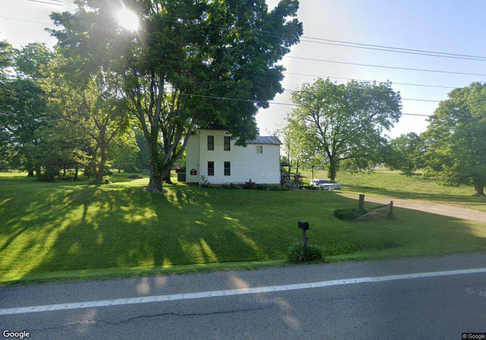
5635 Lancaster Rd Hebron, OH 43025
Union NeighborhoodEstimated Value: $272,000 - $434,000
3
Beds
1
Bath
1,727
Sq Ft
$207/Sq Ft
Est. Value
About This Home
This home is located at 5635 Lancaster Rd, Hebron, OH 43025 and is currently estimated at $357,091, approximately $206 per square foot. 5635 Lancaster Rd is a home located in Licking County with nearby schools including Granville Elementary School, Granville Intermediate School, and Granville Middle School.
Ownership History
Date
Name
Owned For
Owner Type
Purchase Details
Closed on
Aug 29, 1994
Sold by
Kauppi William M
Bought by
Stringfellow Larry E and Orr Cheryl L
Current Estimated Value
Home Financials for this Owner
Home Financials are based on the most recent Mortgage that was taken out on this home.
Original Mortgage
$63,000
Interest Rate
7.99%
Mortgage Type
New Conventional
Create a Home Valuation Report for This Property
The Home Valuation Report is an in-depth analysis detailing your home's value as well as a comparison with similar homes in the area
Home Values in the Area
Average Home Value in this Area
Purchase History
| Date | Buyer | Sale Price | Title Company |
|---|---|---|---|
| Stringfellow Larry E | $70,000 | -- |
Source: Public Records
Mortgage History
| Date | Status | Borrower | Loan Amount |
|---|---|---|---|
| Closed | Stringfellow Larry E | $63,000 |
Source: Public Records
Tax History
| Year | Tax Paid | Tax Assessment Tax Assessment Total Assessment is a certain percentage of the fair market value that is determined by local assessors to be the total taxable value of land and additions on the property. | Land | Improvement |
|---|---|---|---|---|
| 2024 | $4,414 | $107,980 | $65,840 | $42,140 |
| 2023 | $4,537 | $107,980 | $65,840 | $42,140 |
| 2022 | $2,723 | $61,430 | $30,490 | $30,940 |
| 2021 | $2,776 | $61,430 | $30,490 | $30,940 |
| 2020 | $2,858 | $61,430 | $30,490 | $30,940 |
| 2019 | $2,838 | $57,410 | $30,490 | $26,920 |
| 2018 | $2,945 | $0 | $0 | $0 |
| 2017 | $2,393 | $0 | $0 | $0 |
| 2016 | $1,859 | $0 | $0 | $0 |
| 2015 | $1,851 | $0 | $0 | $0 |
| 2014 | $4,221 | $0 | $0 | $0 |
| 2013 | $1,844 | $0 | $0 | $0 |
Source: Public Records
Map
Nearby Homes
- 1284 Deeds Rd
- 112 Grand Pointe Dr
- 109 Whitetail Ridge Way
- 1906 Seminary Rd
- 3343 Hayes Rd
- 2241 Seminary Rd SE
- 45 Mallard Point
- 1862 Hallie Ln
- 1764 Hallie Ln
- 799 Old James Rd
- 113 Blackstone Ct
- 201 Olde Park W
- 1100 Thornwood Dr SW Unit 1018
- 1100 Thornwood Dr SW Unit Lot 58
- 1100 Thornwood Dr SW Unit Lot 1008
- 1100 Thornwood Dr Unit Lot 1005
- 658 Knoll Dr
- 3224 Hebron Rd
- Lot 9 Orchard Dr
- 49 Kenwick Cir
- 5595 Lancaster Rd
- 1307 Deeds Rd
- 1351 Deeds Rd
- 5809 Lancaster Rd
- 5534 Lancaster Rd
- 101 Hawks Cove Ct
- 113 Hawks Cove Ct
- 1405 Deeds Rd
- 5849 Lancaster Rd
- 1376 Deeds Rd
- 5811 Lancaster Rd
- 5884 Lancaster Rd
- 5534 Lancaster Rd
- 1406 Deeds Rd
- 1451 Deeds Rd
- 131 Reserve Dr
- 5925 Lancaster Rd
- 129 Simeon Dr
- 1434 Deeds Rd
- 133 Reserve Dr
Your Personal Tour Guide
Ask me questions while you tour the home.