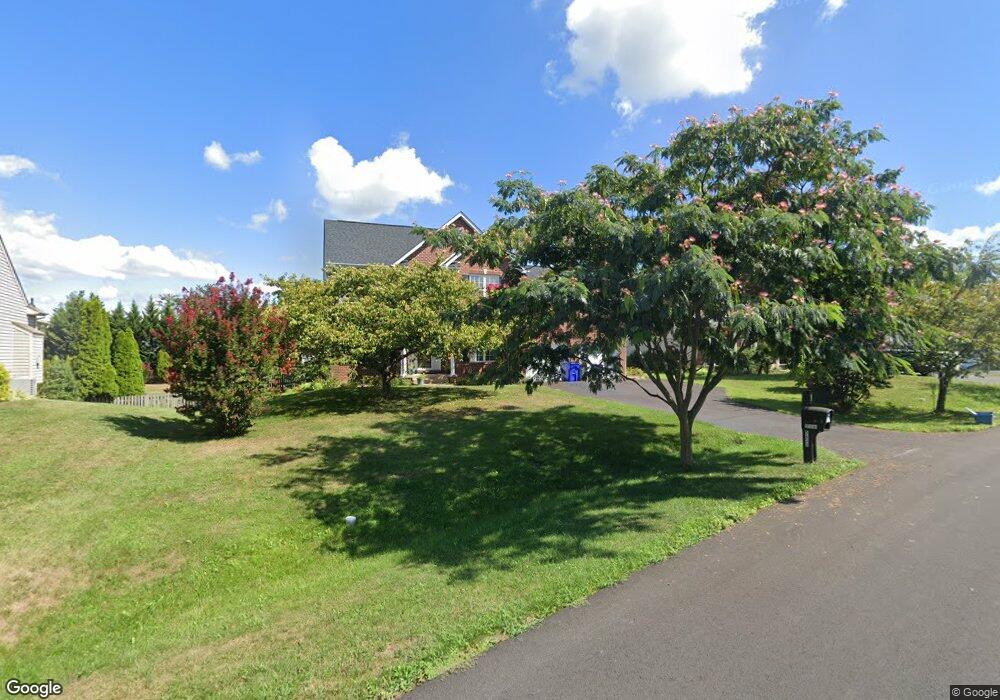
5638 Denfield Place Adamstown, MD 21710
Estimated Value: $638,151 - $727,000
--
Bed
3
Baths
2,771
Sq Ft
$246/Sq Ft
Est. Value
About This Home
This home is located at 5638 Denfield Place, Adamstown, MD 21710 and is currently estimated at $681,038, approximately $245 per square foot. 5638 Denfield Place is a home located in Frederick County with nearby schools including Carroll Manor Elementary School, Ballenger Creek Middle School, and Tuscarora High School.
Ownership History
Date
Name
Owned For
Owner Type
Purchase Details
Closed on
Dec 23, 2014
Sold by
Benzing William C and Brady Roseann M
Bought by
Brady Roseann M
Current Estimated Value
Home Financials for this Owner
Home Financials are based on the most recent Mortgage that was taken out on this home.
Original Mortgage
$334,000
Outstanding Balance
$260,425
Interest Rate
3.99%
Mortgage Type
New Conventional
Estimated Equity
$420,613
Purchase Details
Closed on
May 17, 2002
Sold by
Ausherman Ernest W
Bought by
Benzing William C and Brady Roseann M
Create a Home Valuation Report for This Property
The Home Valuation Report is an in-depth analysis detailing your home's value as well as a comparison with similar homes in the area
Home Values in the Area
Average Home Value in this Area
Purchase History
| Date | Buyer | Sale Price | Title Company |
|---|---|---|---|
| Brady Roseann M | -- | None Available | |
| Benzing William C | $342,450 | -- |
Source: Public Records
Mortgage History
| Date | Status | Borrower | Loan Amount |
|---|---|---|---|
| Open | Brady Roseann M | $334,000 | |
| Closed | Benzing William C | -- |
Source: Public Records
Tax History Compared to Growth
Tax History
| Year | Tax Paid | Tax Assessment Tax Assessment Total Assessment is a certain percentage of the fair market value that is determined by local assessors to be the total taxable value of land and additions on the property. | Land | Improvement |
|---|---|---|---|---|
| 2025 | $5,717 | $500,567 | -- | -- |
| 2024 | $5,717 | $464,900 | $113,100 | $351,800 |
| 2023 | $5,305 | $449,200 | $0 | $0 |
| 2022 | $5,123 | $433,500 | $0 | $0 |
| 2021 | $4,877 | $417,800 | $113,100 | $304,700 |
| 2020 | $4,877 | $412,333 | $0 | $0 |
| 2019 | $4,813 | $406,867 | $0 | $0 |
| 2018 | $4,783 | $401,400 | $113,100 | $288,300 |
| 2017 | $4,520 | $401,400 | $0 | $0 |
| 2016 | $4,410 | $364,467 | $0 | $0 |
| 2015 | $4,410 | $346,000 | $0 | $0 |
| 2014 | $4,410 | $346,000 | $0 | $0 |
Source: Public Records
Map
Nearby Homes
- 5798 Morland Dr N
- 5880 Union Ridge Dr
- 2735 Tuscarora St
- 5523 Modly Ct
- 2731 Tuscarora St
- Adamstown Plan at The Enclave at Carrollton Manor
- Macon II Plan at The Enclave at Carrollton Manor
- Fayetteville Plan at The Enclave at Carrollton Manor
- Omaha Plan at The Enclave at Carrollton Manor
- Oban Plan at The Enclave at Carrollton Manor
- 000 Modly Ct
- 00 Modly Ct
- 00000 Modly Ct
- 0000 Modly Ct
- 5504 Young Family Trail E
- 00000 Mae Wade Ave
- 2705 Bill Dorsey Blvd
- 2727 Bill Dorsey Blvd
- 5510 Doubs Rd
- 6216 Manor Woods Rd
- 5640 Denfield Place
- 5636 Denfield Place
- 5642 Denfield Place
- 5785 Morland Dr N
- 5633 Denfield Place
- 5819 Adamstown Rd
- 5813 Adamstown Rd
- 5635 Denfield Place
- 5644 Denfield Place
- 5787 Morland Dr N
- 5781 Morland Dr N
- 5637 Denfield Place
- 5825 Adamstown Rd
- 5646 Denfield Place
- 5788 Morland Dr N
- 5807 Adamstown Rd
- 5789 Morland Dr N
- 5786 Morland Dr N
- 5779 Morland Dr N
- 5639 Denfield Place