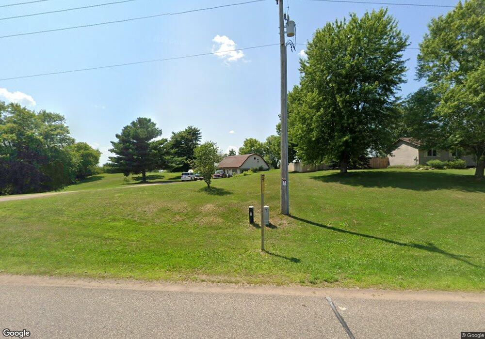
5638 N Town Hall Rd Eau Claire, WI 54703
Estimated Value: $163,320 - $373,000
2
Beds
1
Bath
1,120
Sq Ft
$247/Sq Ft
Est. Value
About This Home
This home is located at 5638 N Town Hall Rd, Eau Claire, WI 54703 and is currently estimated at $276,330, approximately $246 per square foot. 5638 N Town Hall Rd is a home located in Eau Claire County with nearby schools including Sherman Elementary School, Delong Middle School, and North High School.
Ownership History
Date
Name
Owned For
Owner Type
Purchase Details
Closed on
Apr 14, 2020
Sold by
Orange Capital Funding Llc
Bought by
Nationwide Servicing Center Inc
Current Estimated Value
Purchase Details
Closed on
Aug 9, 2016
Sold by
Harbour Portfolio Vi Lp
Bought by
Orange Funding Llc
Purchase Details
Closed on
Jan 27, 2011
Sold by
Fannie Mae
Bought by
Harbour Portfolio Vi Lp
Purchase Details
Closed on
Apr 23, 2010
Sold by
Champion Craig S
Bought by
Federal National Mortgage Association
Create a Home Valuation Report for This Property
The Home Valuation Report is an in-depth analysis detailing your home's value as well as a comparison with similar homes in the area
Home Values in the Area
Average Home Value in this Area
Purchase History
| Date | Buyer | Sale Price | Title Company |
|---|---|---|---|
| Nationwide Servicing Center Inc | $18,500 | None Available | |
| Orange Funding Llc | -- | -- | |
| Harbour Portfolio Vi Lp | -- | None Available | |
| Federal National Mortgage Association | $81,312 | None Available |
Source: Public Records
Tax History Compared to Growth
Tax History
| Year | Tax Paid | Tax Assessment Tax Assessment Total Assessment is a certain percentage of the fair market value that is determined by local assessors to be the total taxable value of land and additions on the property. | Land | Improvement |
|---|---|---|---|---|
| 2024 | $800 | $69,400 | $27,300 | $42,100 |
| 2023 | $690 | $69,400 | $27,300 | $42,100 |
| 2022 | $690 | $47,600 | $16,400 | $31,200 |
| 2021 | $708 | $47,600 | $16,400 | $31,200 |
| 2020 | $694 | $47,600 | $16,400 | $31,200 |
| 2019 | $685 | $47,600 | $16,400 | $31,200 |
| 2018 | $722 | $47,600 | $16,400 | $31,200 |
| 2017 | $624 | $47,600 | $16,400 | $31,200 |
| 2016 | $703 | $77,700 | $16,400 | $61,300 |
| 2014 | -- | $77,700 | $16,400 | $61,300 |
| 2013 | -- | $77,700 | $16,400 | $61,300 |
Source: Public Records
Map
Nearby Homes
- 5221 Stonewood Dr Unit 13
- 4122 Mill Run Rd
- 4039 John Hart Place
- 4028 Mill Run Rd
- 3943 Mill Run Rd
- 4230 Mill Ridge Cir
- 4119 Mill Run Ct Unit 1
- Lot #4 14th Ave
- Lot #3 14th Ave
- 2097 20th St
- 8103 W Folsom St
- 3536 W Folsom St Unit 64
- 3536 W Folsom St Unit 63
- 3536 W Folsom St Unit 61
- 9417 Partridge Rd
- Lot #8 23rd St
- Lot #7 23rd St
- Lot #9 23rd St
- Lot #10 23rd St
- Lot #5 23rd St
- 5654 N Town Hall Rd
- 5630 N Town Hall Rd
- 5909 County Line Rd
- 4018 10th Ave
- 4048 10th Ave
- 4080 10th Ave
- 5611 County Line Rd
- 1063 40th St
- 4138 10th Ave
- 1121 40th St
- 4252 10th Ave
- 5051 N Town Hall Rd
- Lot 23 12th (Behind Menards) Ave
- 6505 County Line Rd
- 5421 County Line Rd
- Lot 31 44th St
- 4025 12th Ave
- 4104 12th Ave
- 5319 County Line Rd
- 5219 County Line Rd
