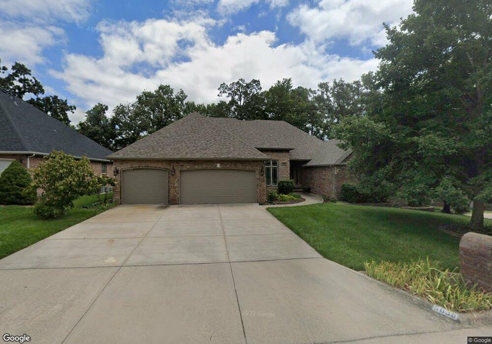
5638 S Fremont Ave Springfield, MO 65804
Southwest Springfield NeighborhoodEstimated Value: $524,332 - $572,000
4
Beds
3
Baths
2,821
Sq Ft
$194/Sq Ft
Est. Value
About This Home
This home is located at 5638 S Fremont Ave, Springfield, MO 65804 and is currently estimated at $546,583, approximately $193 per square foot. 5638 S Fremont Ave is a home located in Greene County with nearby schools including Walt Disney Elementary School, Cherokee Middle School, and Kickapoo High School.
Ownership History
Date
Name
Owned For
Owner Type
Purchase Details
Closed on
Dec 9, 2005
Sold by
Greg Off Construction Co Inc
Bought by
Hatcher Bettie J
Current Estimated Value
Home Financials for this Owner
Home Financials are based on the most recent Mortgage that was taken out on this home.
Original Mortgage
$267,920
Outstanding Balance
$5,832
Interest Rate
6.29%
Mortgage Type
New Conventional
Estimated Equity
$540,751
Create a Home Valuation Report for This Property
The Home Valuation Report is an in-depth analysis detailing your home's value as well as a comparison with similar homes in the area
Home Values in the Area
Average Home Value in this Area
Purchase History
| Date | Buyer | Sale Price | Title Company |
|---|---|---|---|
| Hatcher Bettie J | -- | None Available |
Source: Public Records
Mortgage History
| Date | Status | Borrower | Loan Amount |
|---|---|---|---|
| Open | Hatcher Bettie J | $267,920 |
Source: Public Records
Tax History Compared to Growth
Tax History
| Year | Tax Paid | Tax Assessment Tax Assessment Total Assessment is a certain percentage of the fair market value that is determined by local assessors to be the total taxable value of land and additions on the property. | Land | Improvement |
|---|---|---|---|---|
| 2025 | $4,005 | $83,130 | $14,630 | $68,500 |
| 2024 | $4,005 | $74,650 | $14,630 | $60,020 |
| 2023 | $3,982 | $74,650 | $14,630 | $60,020 |
| 2022 | $3,692 | $67,600 | $14,630 | $52,970 |
| 2021 | $3,691 | $67,600 | $14,630 | $52,970 |
| 2020 | $3,830 | $67,070 | $14,630 | $52,440 |
| 2019 | $3,722 | $67,070 | $14,630 | $52,440 |
| 2018 | $3,670 | $66,160 | $14,630 | $51,530 |
| 2017 | $3,633 | $64,830 | $14,630 | $50,200 |
| 2016 | $3,553 | $64,830 | $14,630 | $50,200 |
| 2015 | $3,521 | $64,830 | $14,630 | $50,200 |
| 2014 | $3,388 | $61,940 | $14,630 | $47,310 |
Source: Public Records
Map
Nearby Homes
- 5607 S Fremont Ave
- 1619 E Wood Oaks
- 5530 S Ridge Top Ave
- 5521 S Ridge Top Ave
- 1362 E Siler Pkwy
- 1160 E Highpoint St
- 1221 E Knobhill St
- 1414 E Wilder Dr
- 1120 E Oak Tree Ln
- 5409 S Farm Road 163
- 6008 S Mccann Ave
- 916 E Gaslight Dr
- 6006 S Maryland Ave
- 1077 E Siler Pkwy
- 1049 E Siler Pkwy
- 6038 S Maryland Ave
- 6053 S Maryland Ave
- 6147 S Hampton Ave
- Lots 19 E Siler Pkwy
- Lots 1 E Siler Pkwy
- 5639 S Moonshine Ct
- 1436 E River Oaks Ln
- 1413 E River Oaks Ln
- 5629 S Moonshine Ct
- 5620 S Fremont Ave
- 5621 S Moonshine Ct
- 5623 S Fremont Ave
- 5612 S Fremont Ave
- 1418 E River Oaks Ln
- 1403 E River Oaks Ln
- 5615 S Moonshine Ct
- 5615 S Fremont Ave
- 1502 E River Oaks Ln
- 1412 E River Oaks Ln
- 5604 S Fremont Ave
- 5638 S Moonshine Ct
- 5628 S Moonshine Ct
- 5605 S Moonshine Ct
- 5620 S Moonshine Ct
- 1351 E River Oaks Ln