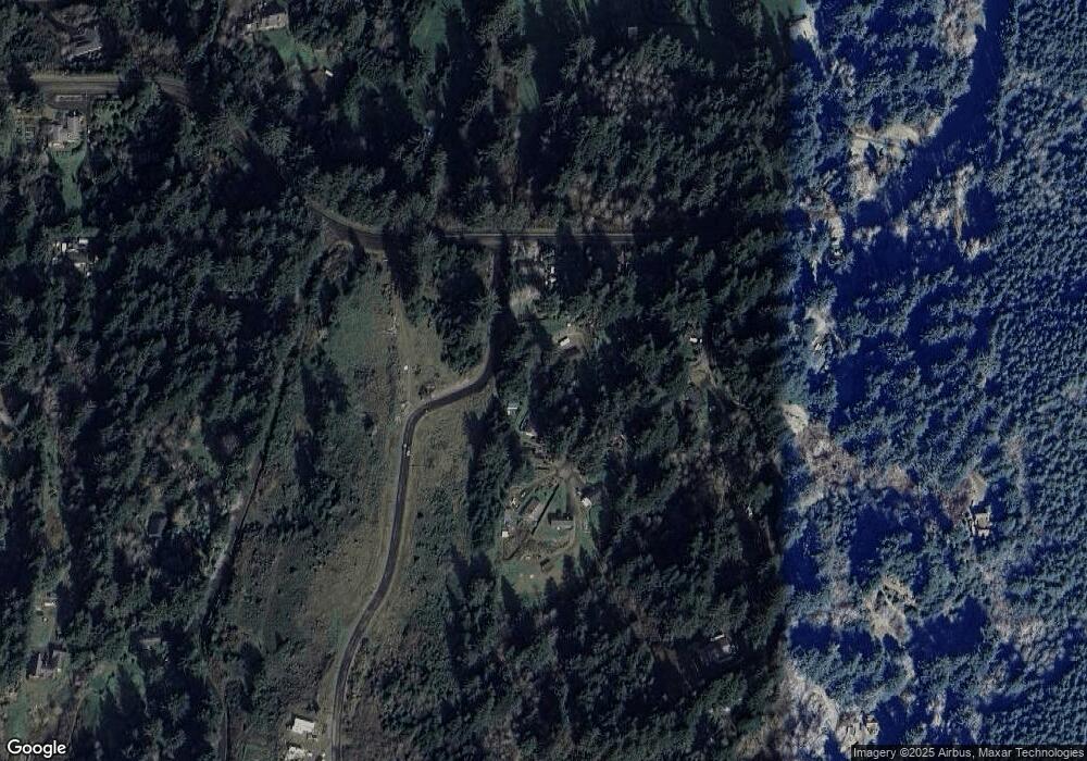
5639 Alder Ct Florence, OR 97439
Oregon Dunes NeighborhoodEstimated Value: $371,000 - $458,000
3
Beds
1
Bath
960
Sq Ft
$429/Sq Ft
Est. Value
About This Home
This home is located at 5639 Alder Ct, Florence, OR 97439 and is currently estimated at $411,377, approximately $428 per square foot. 5639 Alder Ct is a home located in Lane County with nearby schools including Siuslaw Elementary School, Siuslaw Middle School, and Siuslaw High School.
Ownership History
Date
Name
Owned For
Owner Type
Purchase Details
Closed on
Apr 9, 2025
Sold by
Carroll James V
Bought by
James Vincent Carroll Jr Living Trust and Carroll
Current Estimated Value
Purchase Details
Closed on
Oct 11, 2004
Sold by
Carroll James V
Bought by
Carroll James and Carroll Janet F
Purchase Details
Closed on
Jun 11, 2004
Sold by
Landgraf David L and Landgraf Mary N
Bought by
Carroll James
Home Financials for this Owner
Home Financials are based on the most recent Mortgage that was taken out on this home.
Original Mortgage
$125,100
Interest Rate
6.09%
Mortgage Type
Purchase Money Mortgage
Create a Home Valuation Report for This Property
The Home Valuation Report is an in-depth analysis detailing your home's value as well as a comparison with similar homes in the area
Home Values in the Area
Average Home Value in this Area
Purchase History
| Date | Buyer | Sale Price | Title Company |
|---|---|---|---|
| James Vincent Carroll Jr Living Trust | -- | None Listed On Document | |
| Carroll James | -- | Western Pioneer Title Co | |
| Carroll James | $145,000 | Western Pioneer Title Co |
Source: Public Records
Mortgage History
| Date | Status | Borrower | Loan Amount |
|---|---|---|---|
| Previous Owner | Carroll James | $125,100 |
Source: Public Records
Tax History Compared to Growth
Tax History
| Year | Tax Paid | Tax Assessment Tax Assessment Total Assessment is a certain percentage of the fair market value that is determined by local assessors to be the total taxable value of land and additions on the property. | Land | Improvement |
|---|---|---|---|---|
| 2024 | $1,884 | $168,547 | -- | -- |
| 2023 | $1,884 | $163,638 | $0 | $0 |
| 2022 | $1,758 | $158,872 | $0 | $0 |
| 2021 | $1,710 | $154,245 | $0 | $0 |
| 2020 | $1,661 | $149,753 | $0 | $0 |
| 2019 | $1,597 | $145,392 | $0 | $0 |
| 2018 | $1,613 | $137,047 | $0 | $0 |
| 2017 | $1,555 | $137,047 | $0 | $0 |
| 2016 | $1,512 | $133,055 | $0 | $0 |
| 2015 | $1,466 | $129,180 | $0 | $0 |
| 2014 | $1,448 | $125,417 | $0 | $0 |
Source: Public Records
Map
Nearby Homes
- 0 Tl400 Erhart Rd
- 5500 Meadow Lake Way
- 311 Clear Lake Rd
- 83553 Jensen Ln
- 0 Summerbell Dr Unit 7 663477072
- 83591 Sauter Dr
- 83594 Sauter Dr
- 5192 Russell Dr
- 83485 Clear Lake Rd
- 5346 Buckskin Bob
- 5360 Buckskin Bob
- 5213 Hilltop Dr
- 5343 Leavitt Loop
- 0 Woahink Dr Unit TL6501 452047484
- 84284 Alder Dr
- 83410 S Cove Dr
- 83837 Highway 101
- 83235 Clear Lake Rd
- 83763 Highway 101 Unit 14
- 83763 Highway 101 Unit 21
- 5625 Alder Ct
- 5647 Alder Ct
- 5635 Alder Ct
- 5655 Alder Ct
- 83639 Clear Lake Rd
- 83649 Clear Lake Rd
- 5663 Alder Ct
- 5630 Alder Ct
- 83659 Clear Lake Rd
- 5610 Alder Ct
- 5660 Alder Ct
- 5650 Alder Ct
- 5600 Alder Ct
- 5595 Alder Ct
- 83669 Clear Lake Rd
- 83682 Erhart Rd
- 83672 Erhart Rd
- 83694 Erhart Rd
- 5660 Maple Dr
- 83673 Erhart Rd
