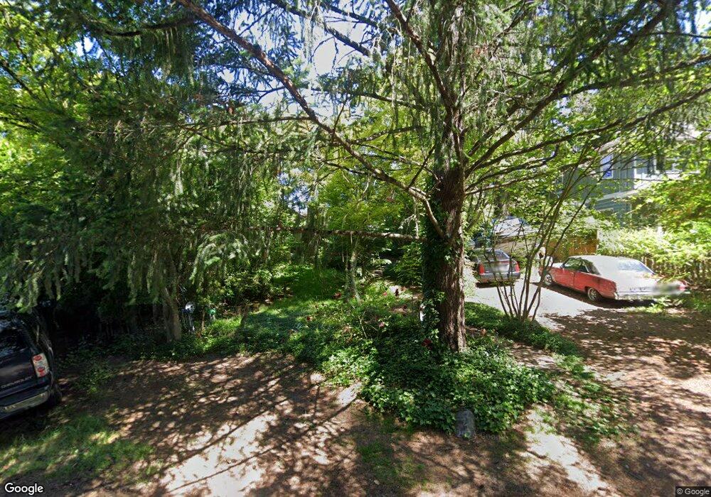
5639 SW Nevada Ct Portland, OR 97219
Maplewood NeighborhoodEstimated Value: $450,000 - $522,000
2
Beds
1
Bath
956
Sq Ft
$505/Sq Ft
Est. Value
About This Home
This home is located at 5639 SW Nevada Ct, Portland, OR 97219 and is currently estimated at $483,178, approximately $505 per square foot. 5639 SW Nevada Ct is a home located in Multnomah County with nearby schools including Maplewood Elementary School, Jackson Middle School, and Ida B. Wells-Barnett High School.
Ownership History
Date
Name
Owned For
Owner Type
Purchase Details
Closed on
Jan 28, 2020
Sold by
Tandiono Rudy
Bought by
Tandiono Rudy and Li Yao
Current Estimated Value
Purchase Details
Closed on
Apr 15, 1998
Sold by
Moe Eric A
Bought by
Tandjono Rudy
Home Financials for this Owner
Home Financials are based on the most recent Mortgage that was taken out on this home.
Original Mortgage
$144,400
Outstanding Balance
$27,603
Interest Rate
7.18%
Mortgage Type
Purchase Money Mortgage
Estimated Equity
$455,575
Create a Home Valuation Report for This Property
The Home Valuation Report is an in-depth analysis detailing your home's value as well as a comparison with similar homes in the area
Home Values in the Area
Average Home Value in this Area
Purchase History
| Date | Buyer | Sale Price | Title Company |
|---|---|---|---|
| Tandiono Rudy | -- | None Available | |
| Tandjono Rudy | $152,000 | Ticor Title Insurance |
Source: Public Records
Mortgage History
| Date | Status | Borrower | Loan Amount |
|---|---|---|---|
| Open | Tandjono Rudy | $144,400 |
Source: Public Records
Tax History Compared to Growth
Tax History
| Year | Tax Paid | Tax Assessment Tax Assessment Total Assessment is a certain percentage of the fair market value that is determined by local assessors to be the total taxable value of land and additions on the property. | Land | Improvement |
|---|---|---|---|---|
| 2024 | $5,617 | $210,140 | -- | -- |
| 2023 | $5,401 | $204,020 | $0 | $0 |
| 2022 | $5,284 | $198,080 | $0 | $0 |
| 2021 | $5,195 | $192,320 | $0 | $0 |
| 2020 | $4,765 | $186,720 | $0 | $0 |
| 2019 | $4,590 | $181,290 | $0 | $0 |
| 2018 | $4,455 | $176,010 | $0 | $0 |
| 2017 | $4,270 | $170,890 | $0 | $0 |
| 2016 | $3,908 | $165,920 | $0 | $0 |
| 2015 | $3,805 | $161,090 | $0 | $0 |
| 2014 | $3,748 | $156,400 | $0 | $0 |
Source: Public Records
Map
Nearby Homes
- 5903 SW Miles Ct
- 5726 SW Florida St
- 6001 SW Texas Ct
- 5740 SW Vermont St
- 7410 SW 54th Ave
- 7321 SW 52nd Ave
- 5049 SW Nevada Ct
- 5033 SW Texas St
- 5503 SW Multnomah Blvd
- 5513 SW Multnomah Blvd
- 6260 SW Miles Ct
- 5557 SW Multnomah Blvd
- 6140 SW Canby St
- 7491 SW 48th Ave
- 6503 SW 46th Place
- 5040 SW Iowa St
- 8112 SW 61st Ave
- 4718 SW Miles Ct
- 5130 SW Multnomah Blvd Unit H
- 5130 SW Multnomah Blvd Unit B
- 5625 SW Nevada Ct
- 5715 SW Nevada Ct
- 5660 SW Texas St
- 5630 SW Texas St
- 5611 SW Nevada Ct
- 5720 SW Texas St
- 5640 SW Nevada Ct
- 5725 SW Nevada Ct
- 5704 SW Nevada Ct
- 5620 SW Nevada Ct
- 5538 SW Texas St
- 5616 SW Texas St
- 5730 SW Texas St
- 5724 SW Nevada Ct
- 5608 SW Nevada Ct
- 5541 SW Nevada Ct
- 5737 SW Nevada Ct
- 5534 SW Texas St
- 5639 SW Texas St
- 5740 SW Texas St
