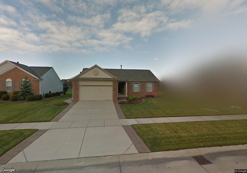
56395 Oasis Dr Macomb, MI 48042
Estimated Value: $349,977 - $432,000
Studio
1
Bath
1,609
Sq Ft
$243/Sq Ft
Est. Value
About This Home
This home is located at 56395 Oasis Dr, Macomb, MI 48042 and is currently estimated at $390,994, approximately $243 per square foot. 56395 Oasis Dr is a home located in Macomb County with nearby schools including New Haven High School, St. Peter Lutheran School, and Lutheran North High School.
Ownership History
Date
Name
Owned For
Owner Type
Purchase Details
Closed on
Nov 7, 2014
Sold by
Teschendorf Robert E
Bought by
Teschendorf Revocable Living Trust
Current Estimated Value
Purchase Details
Closed on
Aug 7, 2007
Sold by
Teschendorf Robert E and Teschendorf Kathy M
Bought by
Teschendorf Robert E and Teschendorf Kathy M
Purchase Details
Closed on
Aug 14, 2003
Sold by
Pulte Land Company Llc
Bought by
Teschendorf Robert E and Teschendorf Kathy M
Create a Home Valuation Report for This Property
The Home Valuation Report is an in-depth analysis detailing your home's value as well as a comparison with similar homes in the area
Home Values in the Area
Average Home Value in this Area
Purchase History
| Date | Buyer | Sale Price | Title Company |
|---|---|---|---|
| Teschendorf Revocable Living Trust | -- | None Available | |
| Teschendorf Robert E | -- | None Available | |
| Teschendorf Robert E | -- | None Available | |
| Teschendorf Robert E | $56,250 | Metropolitan Title Company |
Source: Public Records
Tax History
| Year | Tax Paid | Tax Assessment Tax Assessment Total Assessment is a certain percentage of the fair market value that is determined by local assessors to be the total taxable value of land and additions on the property. | Land | Improvement |
|---|---|---|---|---|
| 2025 | $2,030 | $179,500 | $0 | $0 |
| 2024 | $20 | $166,400 | $0 | $0 |
| 2023 | $1,872 | $156,700 | $0 | $0 |
| 2022 | $2,824 | $140,200 | $0 | $0 |
| 2021 | $2,747 | $131,400 | $0 | $0 |
| 2020 | $1,721 | $125,700 | $0 | $0 |
| 2019 | $2,541 | $121,200 | $0 | $0 |
| 2018 | $2,492 | $117,200 | $0 | $0 |
| 2017 | $2,367 | $102,040 | $30,000 | $72,040 |
| 2016 | $2,242 | $102,070 | $0 | $0 |
| 2015 | $2,248 | $98,870 | $0 | $0 |
| 2014 | $2,248 | $74,860 | $17,000 | $57,860 |
| 2011 | $683 | $72,830 | $15,000 | $57,830 |
Source: Public Records
Map
Nearby Homes
- 17752 Country Club Dr
- 56546 Winding Creek Dr
- 18008 Stallman Dr Unit 145
- 17924 Stallman Dr Unit 100
- 18213 Stallman Dr Unit 137
- 18064 Stallman Dr
- 55649 Faldo Dr Unit 141
- 55809 Jones Dr
- 55809 Jones Dr Unit 113
- 18005 Player Dr
- 17413 Stallman Dr Unit 85
- 17835 Player Dr
- 18101 Player Dr Unit 151
- 17524 Stallman Dr
- 55670 Faldo Dr Unit 139
- 17349 Stallman Dr
- 17332 Stallman Dr
- 17189 Stallman Dr
- 17317 Megan Dr
- 17317 Megan Dr Unit 45
- 56371 Oasis Dr
- 56423 Oasis Dr
- 56388 Solina Ct Unit Bldg-Unit
- 56388 Solina Ct
- 56445 Oasis Dr
- 56349 Oasis Dr
- 56412 Solina Ct
- 17795 Atlas Dr
- 56408 Oasis Dr
- 56384 Oasis Dr
- 56432 Oasis Dr
- 56469 Oasis Dr
- 17767 Atlas Dr
- 56360 Oasis Dr
- 56456 Oasis Dr
- 17792 Troon Trail
- 56480 Oasis Dr
- 56336 Oasis Dr
- 56425 Solina Ct
- 17764 Troon Trail
Your Personal Tour Guide
Ask me questions while you tour the home.