564 Daniels Rd North Adams, MA 01247
Estimated Value: $246,000 - $309,395
3
Beds
1
Bath
1,504
Sq Ft
$186/Sq Ft
Est. Value
About This Home
This home is located at 564 Daniels Rd, North Adams, MA 01247 and is currently estimated at $279,099, approximately $185 per square foot. 564 Daniels Rd is a home located in Berkshire County with nearby schools including Colegrove Park Elementary School and Drury High School.
Create a Home Valuation Report for This Property
The Home Valuation Report is an in-depth analysis detailing your home's value as well as a comparison with similar homes in the area
Home Values in the Area
Average Home Value in this Area
Tax History Compared to Growth
Tax History
| Year | Tax Paid | Tax Assessment Tax Assessment Total Assessment is a certain percentage of the fair market value that is determined by local assessors to be the total taxable value of land and additions on the property. | Land | Improvement |
|---|---|---|---|---|
| 2025 | $3,588 | $214,700 | $47,000 | $167,700 |
| 2024 | $3,370 | $196,600 | $43,100 | $153,500 |
| 2023 | $3,283 | $185,800 | $43,100 | $142,700 |
| 2022 | $3,002 | $162,000 | $43,100 | $118,900 |
| 2021 | $2,790 | $149,900 | $39,800 | $110,100 |
| 2020 | $2,743 | $147,300 | $39,700 | $107,600 |
| 2019 | $3,084 | $136,500 | $36,600 | $99,900 |
| 2018 | $2,900 | $136,500 | $38,500 | $98,000 |
| 2017 | $3,254 | $135,200 | $38,100 | $97,100 |
| 2016 | $2,316 | $133,200 | $38,100 | $95,100 |
| 2015 | $2,285 | $136,900 | $38,100 | $98,800 |
Source: Public Records
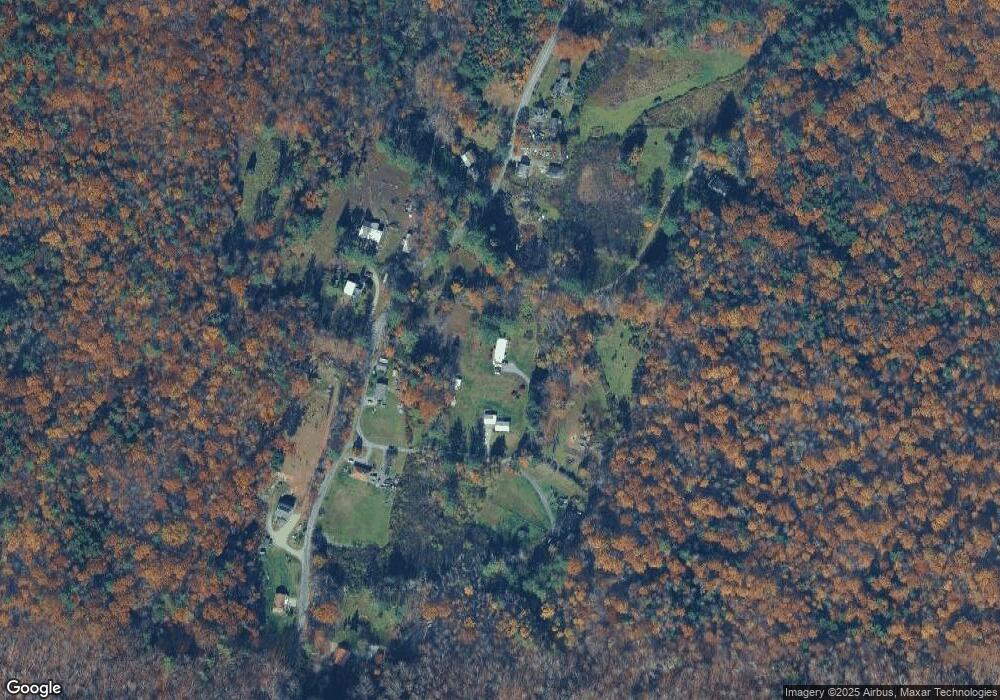
Map
Nearby Homes
- 0 Daniels Rd
- 0 Beaver St
- 2438 Mohawk Trail
- 83 Walker St
- 0 Cross Rd
- 0 Mohawk Trail
- 0 Oak Hill Unit 237953
- 0 River Rd Unit 245240
- 23-27 Gallup St
- 921 Mohawk Trail
- 350 Mohawk Trail
- 360 Mohawk Trail
- 306 Union St
- 100 Autumn Dr
- 50 Gallup St
- 00 Mohawk Trail
- 39 Fieldwood Dr
- 54 Pine Hill Terrace
- 129-133 Franklin St
- 97 Barth St