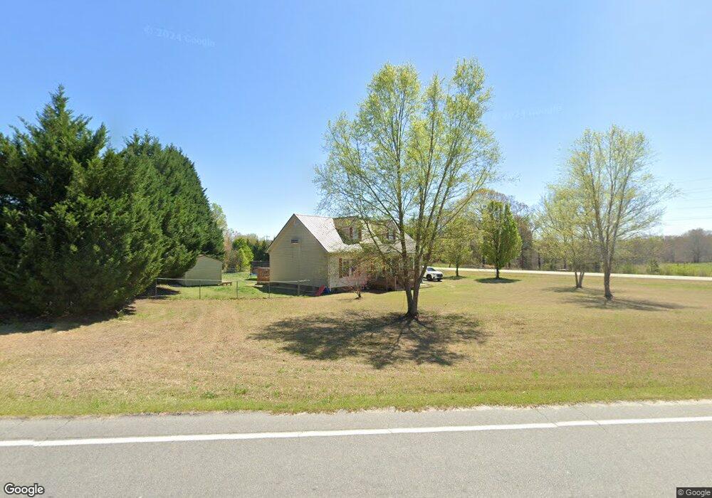
564 Fairfield Rd Walhalla, GA 29691
Estimated Value: $260,000 - $332,000
3
Beds
2
Baths
2,058
Sq Ft
$148/Sq Ft
Est. Value
About This Home
This home is located at 564 Fairfield Rd, Walhalla, GA 29691 and is currently estimated at $304,895, approximately $148 per square foot. 564 Fairfield Rd is a home located in Oconee County with nearby schools including Walhalla Elementary School, Walhalla Middle School, and Walhalla High School.
Ownership History
Date
Name
Owned For
Owner Type
Purchase Details
Closed on
Oct 17, 2022
Sold by
Moore Joshua T
Bought by
Woodall Landon Brock and Woodall Samantha O
Current Estimated Value
Home Financials for this Owner
Home Financials are based on the most recent Mortgage that was taken out on this home.
Original Mortgage
$260,000
Outstanding Balance
$249,546
Interest Rate
6.02%
Mortgage Type
New Conventional
Estimated Equity
$55,349
Create a Home Valuation Report for This Property
The Home Valuation Report is an in-depth analysis detailing your home's value as well as a comparison with similar homes in the area
Home Values in the Area
Average Home Value in this Area
Purchase History
| Date | Buyer | Sale Price | Title Company |
|---|---|---|---|
| Woodall Landon Brock | -- | -- | |
| Woodall Landon Brock | -- | -- |
Source: Public Records
Mortgage History
| Date | Status | Borrower | Loan Amount |
|---|---|---|---|
| Open | Woodall Landon Brock | $260,000 |
Source: Public Records
Tax History
| Year | Tax Paid | Tax Assessment Tax Assessment Total Assessment is a certain percentage of the fair market value that is determined by local assessors to be the total taxable value of land and additions on the property. | Land | Improvement |
|---|---|---|---|---|
| 2025 | $1,010 | $9,627 | $870 | $8,757 |
| 2024 | $1,010 | $9,627 | $870 | $8,757 |
| 2023 | $3,103 | $9,627 | $870 | $8,757 |
| 2022 | $563 | $5,295 | $897 | $4,398 |
| 2021 | $513 | $4,828 | $667 | $4,161 |
| 2020 | $538 | $4,828 | $667 | $4,161 |
| 2019 | $538 | $0 | $0 | $0 |
| 2018 | $1,072 | $0 | $0 | $0 |
| 2017 | $513 | $0 | $0 | $0 |
| 2016 | $513 | $0 | $0 | $0 |
| 2015 | -- | $0 | $0 | $0 |
| 2014 | -- | $7,617 | $1,534 | $6,083 |
| 2013 | -- | $0 | $0 | $0 |
Source: Public Records
Map
Nearby Homes
- 00 Oconee Creek Rd
- 508 Sixteenth Cir
- 505 Hillside Dr
- 00 Heaven View Dr
- Tract B Bobolink Dr
- 857 Pickett Post Rd
- 101 Hazelwood Way
- 324 Fox Run Rd
- 229 Cub Cove Dr
- 221 Cub Cove Dr
- 00 Fox Run Rd
- 323 Fox Run Rd
- Lot 57 Fox Run Rd
- 606 N Poplar St
- 223 N Dogwood Dr
- 147 White Oak St
- 533 Sixteenth Cir
- 00 Abbott Ln
- 408 Falcons Lair West Dr
- 525 Sixteenth Cir
- 564 Fairfield Rd
- 558 Fairfield Rd
- 636 Pickett Post Rd
- 623 Pickett Post Rd
- 561 Fairfield Rd
- 1131 Henrys Dr
- 645 Pickett Post Rd
- 551 Fairfield Rd
- 506 Fairfield Rd
- 551 Reece Cup Dr
- 191 Clyde Dr Unit Fairfield/PicketPost
- 707 Holcombe Dr
- 110 Clyde Dr
- 110 Clyde Dr
- 560 Pickett Post Rd
- 550 Reece Cup Dr
- 914 White Cut Rd
- 916 White Cut Rd
- 918 White Cut Rd
- 471 Fairfield Rd
Your Personal Tour Guide
Ask me questions while you tour the home.