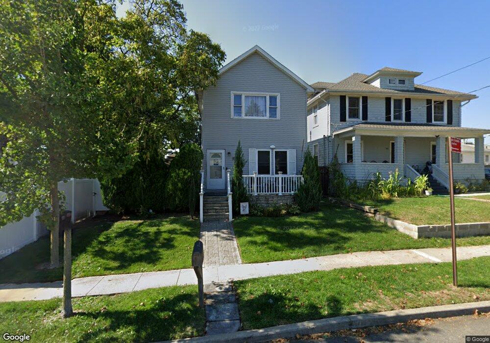
564 Foster Rd Staten Island, NY 10309
Woodrow NeighborhoodEstimated Value: $846,880 - $1,015,000
3
Beds
1
Bath
2,000
Sq Ft
$468/Sq Ft
Est. Value
About This Home
This home is located at 564 Foster Rd, Staten Island, NY 10309 and is currently estimated at $935,220, approximately $467 per square foot. 564 Foster Rd is a home located in Richmond County with nearby schools including P.S. 56 - The Louis Desario School, Is 34 Tottenville, and Tottenville High School.
Ownership History
Date
Name
Owned For
Owner Type
Purchase Details
Closed on
Sep 8, 2000
Sold by
Wyant Ann Marie
Bought by
Soutar Carol Ann
Current Estimated Value
Purchase Details
Closed on
Oct 19, 1998
Sold by
Soutar Carol
Bought by
Wyant Ann Marie
Purchase Details
Closed on
Nov 6, 1996
Sold by
Martuscelli Gennaro and Martuscelli Angela
Bought by
Soutar Carol
Create a Home Valuation Report for This Property
The Home Valuation Report is an in-depth analysis detailing your home's value as well as a comparison with similar homes in the area
Home Values in the Area
Average Home Value in this Area
Purchase History
| Date | Buyer | Sale Price | Title Company |
|---|---|---|---|
| Soutar Carol Ann | -- | -- | |
| Wyant Ann Marie | -- | -- | |
| Soutar Carol | $140,000 | First American Title Ins Co |
Source: Public Records
Tax History Compared to Growth
Tax History
| Year | Tax Paid | Tax Assessment Tax Assessment Total Assessment is a certain percentage of the fair market value that is determined by local assessors to be the total taxable value of land and additions on the property. | Land | Improvement |
|---|---|---|---|---|
| 2025 | $6,077 | $60,180 | $6,002 | $54,178 |
| 2024 | $6,077 | $56,220 | $6,103 | $50,117 |
| 2023 | $6,145 | $30,257 | $6,312 | $23,945 |
| 2022 | $5,953 | $44,220 | $11,340 | $32,880 |
| 2021 | $5,921 | $40,800 | $11,340 | $29,460 |
| 2020 | $5,618 | $40,320 | $11,340 | $28,980 |
| 2019 | $5,275 | $38,940 | $11,340 | $27,600 |
| 2018 | $5,140 | $25,214 | $7,812 | $17,402 |
| 2017 | $5,065 | $24,849 | $8,239 | $16,610 |
| 2016 | $4,687 | $23,444 | $7,856 | $15,588 |
| 2015 | $4,032 | $22,118 | $7,412 | $14,706 |
| 2014 | $4,032 | $21,012 | $8,449 | $12,563 |
Source: Public Records
Map
Nearby Homes
- 104 Wieland Ave
- 106 Wieland Ave
- 108 Wieland Ave
- 142 Wieland Ave
- 1272 Woodrow Rd
- 880 Sinclair Ave
- 973 Sheldon Ave
- 0 Woodrow Rd
- 839 Sinclair Ave
- 960 Rensselaer Ave
- 265 Ramapo Ave
- 980 Rensselaer Ave
- 859 Rathbun Ave
- 559 Alverson Ave
- 816 Sinclair Ave
- 1030 Rensselaer Ave
- 30 Alverson Loop
- 1046 Rensselaer Ave
- 1054 Rensselaer Ave
- 727 Stafford Ave
- 568 Foster Rd
- 863 Stafford Ave
- 867 Stafford Ave
- 546 Foster Rd
- 150 Ramapo Ave
- 144 Ramapo Ave
- 154 Ramapo Ave
- 871 Stafford Ave
- 563 Foster Rd
- 158 Ramapo Ave
- 555 Foster Rd
- 866 Stafford Ave
- 571 Foster Rd
- 540 Foster Rd
- 875 Stafford Ave
- 162 Ramapo Ave
- 130 Ramapo Ave
- 545 Foster Rd
- 166 Ramapo Ave
- 879 Stafford Ave