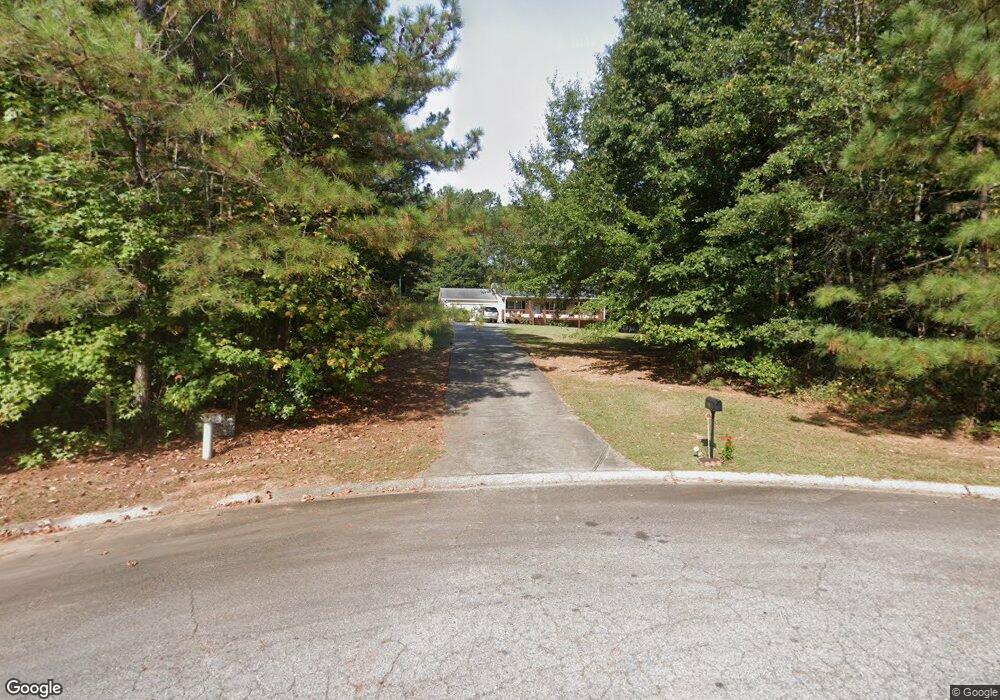
564 Preston Place Ct Carrollton, GA 30117
Estimated Value: $234,787 - $277,000
3
Beds
2
Baths
1,230
Sq Ft
$211/Sq Ft
Est. Value
About This Home
This home is located at 564 Preston Place Ct, Carrollton, GA 30117 and is currently estimated at $259,447, approximately $210 per square foot. 564 Preston Place Ct is a home located in Carroll County with nearby schools including Bowdon Elementary School, Bowdon Middle School, and Bowdon High School.
Ownership History
Date
Name
Owned For
Owner Type
Purchase Details
Closed on
Jan 31, 2005
Sold by
Townsend Holdings Inc
Bought by
Jordan Debbie Sharee
Current Estimated Value
Home Financials for this Owner
Home Financials are based on the most recent Mortgage that was taken out on this home.
Original Mortgage
$91,920
Outstanding Balance
$45,177
Interest Rate
5.25%
Mortgage Type
New Conventional
Estimated Equity
$214,270
Purchase Details
Closed on
Feb 18, 2004
Sold by
Coleman Eugene W
Bought by
Townsend Holdings Inc
Purchase Details
Closed on
Sep 5, 2001
Bought by
Coleman Eugene W
Create a Home Valuation Report for This Property
The Home Valuation Report is an in-depth analysis detailing your home's value as well as a comparison with similar homes in the area
Home Values in the Area
Average Home Value in this Area
Purchase History
| Date | Buyer | Sale Price | Title Company |
|---|---|---|---|
| Jordan Debbie Sharee | $114,900 | -- | |
| Townsend Holdings Inc | $16,000 | -- | |
| Coleman Eugene W | -- | -- |
Source: Public Records
Mortgage History
| Date | Status | Borrower | Loan Amount |
|---|---|---|---|
| Open | Jordan Debbie Sharee | $91,920 | |
| Closed | Jordan Debbie Sharee | $22,980 |
Source: Public Records
Tax History Compared to Growth
Tax History
| Year | Tax Paid | Tax Assessment Tax Assessment Total Assessment is a certain percentage of the fair market value that is determined by local assessors to be the total taxable value of land and additions on the property. | Land | Improvement |
|---|---|---|---|---|
| 2024 | $1,427 | $77,464 | $6,000 | $71,464 |
| 2023 | $1,427 | $70,989 | $6,000 | $64,989 |
| 2022 | $1,224 | $58,135 | $6,000 | $52,135 |
| 2021 | $1,120 | $50,743 | $6,000 | $44,743 |
| 2020 | $1,026 | $45,422 | $6,000 | $39,422 |
| 2019 | $968 | $41,808 | $6,000 | $35,808 |
| 2018 | $980 | $41,700 | $6,916 | $34,784 |
| 2017 | $983 | $41,700 | $6,916 | $34,784 |
| 2016 | $984 | $41,700 | $6,916 | $34,784 |
| 2015 | $1,022 | $40,539 | $6,916 | $33,624 |
| 2014 | $1,026 | $40,539 | $6,916 | $33,624 |
Source: Public Records
Map
Nearby Homes
- 566 Preston Place Ct
- 4579 W Highway 166
- 4603 W Highway 166
- 4628 Georgia 166
- 552 Preston Place Ct
- 4738 W Highway 166
- 561 Preston Place Ct
- 0 Farmers High Rd Unit 7251208
- 0 Farmers High Rd Unit 7463778
- 0 Farmers High Rd Unit 2 8132494
- 0 Farmers High Rd Unit 3 8132881
- 0 Farmers High Rd Unit 4
- 0 Farmers High Rd Unit 8981174
- 0 Farmers High Rd Unit 8991923
- 0 Farmers High Rd Unit 4 8132873
- 0 Farmers High Rd Unit 8496594
- 0 Farmers High Rd Unit 8889184
- 0 Farmers High Rd Unit 7135482
- 0 Farmers High Rd Unit 7360645
- 4628 W Highway 166