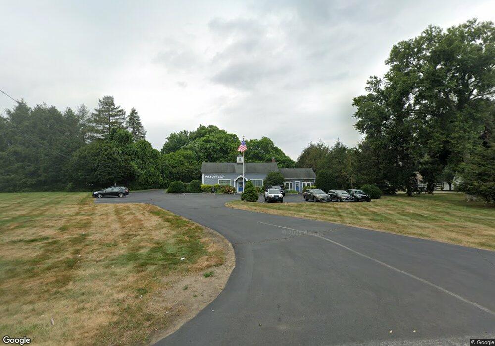
564 Racebrook Rd Orange, CT 06477
Estimated Value: $894,063
Studio
--
Bath
3,037
Sq Ft
$294/Sq Ft
Est. Value
About This Home
This home is located at 564 Racebrook Rd, Orange, CT 06477 and is currently estimated at $894,063, approximately $294 per square foot. 564 Racebrook Rd is a home located in New Haven County with nearby schools including Mary L. Tracy School, Race Brook School, and Amity Middle School: Orange.
Ownership History
Date
Name
Owned For
Owner Type
Purchase Details
Closed on
May 17, 2018
Sold by
Racebr Nelson Dostilio
Bought by
Abravio Holdings Llc
Current Estimated Value
Home Financials for this Owner
Home Financials are based on the most recent Mortgage that was taken out on this home.
Original Mortgage
$436,000
Outstanding Balance
$135,568
Interest Rate
4.4%
Mortgage Type
Purchase Money Mortgage
Estimated Equity
$758,495
Purchase Details
Closed on
Jan 3, 2001
Sold by
Spignesi Tr Gerald and Politi Joan
Bought by
Nelson-Dostillio Llc
Home Financials for this Owner
Home Financials are based on the most recent Mortgage that was taken out on this home.
Original Mortgage
$188,000
Interest Rate
8.21%
Mortgage Type
Commercial
Create a Home Valuation Report for This Property
The Home Valuation Report is an in-depth analysis detailing your home's value as well as a comparison with similar homes in the area
Home Values in the Area
Average Home Value in this Area
Purchase History
| Date | Buyer | Sale Price | Title Company |
|---|---|---|---|
| Abravio Holdings Llc | $545,000 | -- | |
| Abravio Holdings Llc | $545,000 | -- | |
| Nelson-Dostillio Llc | $283,200 | -- | |
| Nelson-Dostillio Llc | $283,200 | -- |
Source: Public Records
Mortgage History
| Date | Status | Borrower | Loan Amount |
|---|---|---|---|
| Open | Abravio Holdings Llc | $436,000 | |
| Closed | Abravio Holdings Llc | $436,000 | |
| Previous Owner | Nelson-Dostillio Llc | $188,000 |
Source: Public Records
Tax History
| Year | Tax Paid | Tax Assessment Tax Assessment Total Assessment is a certain percentage of the fair market value that is determined by local assessors to be the total taxable value of land and additions on the property. | Land | Improvement |
|---|---|---|---|---|
| 2025 | $11,694 | $401,860 | $150,560 | $251,300 |
| 2024 | $12,458 | $401,860 | $150,560 | $251,300 |
| 2023 | $11,136 | $344,660 | $150,560 | $194,100 |
| 2022 | $11,274 | $344,660 | $150,560 | $194,100 |
| 2021 | $11,460 | $344,660 | $150,560 | $194,100 |
| 2020 | $11,284 | $344,660 | $150,560 | $194,100 |
| 2019 | $11,232 | $344,660 | $150,560 | $194,100 |
| 2018 | $11,029 | $344,660 | $150,560 | $194,100 |
| 2017 | $10,420 | $313,110 | $150,560 | $162,550 |
| 2016 | $10,082 | $313,110 | $150,560 | $162,550 |
| 2015 | $9,832 | $313,110 | $150,560 | $162,550 |
| 2014 | $9,550 | $313,110 | $150,560 | $162,550 |
Source: Public Records
Map
Nearby Homes
- 84 Chelsea Ct
- 424 Racebrook Rd
- 148 Kennedy Dr
- 588 Summit Dr
- 24 Brierwood Dr
- 181 Hadley Rd
- 149 Canton St Unit 30
- 149 Canton St Unit 18
- 7 Ipswich St
- 846 Beechwood Rd
- 96 Medford St
- 155 Bull Hill Ln Unit 201
- 157 Bull Hill Ln Unit 102
- 920 Green Cir
- 63 Cynthia Dr
- 45 Swampscott St
- 830 Bayberry Ln
- 53 Pheasant Rd
- 47 Dix St
- 84 Eileen Rd
- 11 Highmeadow Ln
- 2 Tyler City Rd
- 16 Tyler City Rd
- 4 Highmeadow Ln
- 551 Locust Dr
- 553 Racebrook Rd
- 561 Racebrook Rd
- 567 Racebrook Rd
- 23 Highmeadow Ln
- 5 Russell Ave
- 22 Tyler City Rd
- 18 Highmeadow Ln
- 576 Racebrook Rd
- 545 Locust Dr
- 547 Racebrook Rd
- 528 Racebrook Rd
- 38 Highmeadow Ln
- 17 Russell Ave
- 11 Grannis Rd
- 31 Highmeadow Ln
Your Personal Tour Guide
Ask me questions while you tour the home.