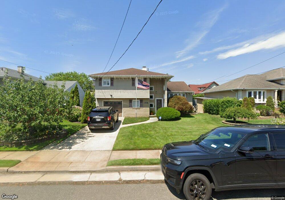
564 S Long Beach Ave Freeport, NY 11520
Estimated Value: $688,423 - $702,000
3
Beds
3
Baths
1,548
Sq Ft
$449/Sq Ft
Est. Value
About This Home
This home is located at 564 S Long Beach Ave, Freeport, NY 11520 and is currently estimated at $695,212, approximately $449 per square foot. 564 S Long Beach Ave is a home located in Nassau County with nearby schools including Columbus Avenue School, Caroline G. Atkinson Intermediate School, and John W Dodd Middle School.
Ownership History
Date
Name
Owned For
Owner Type
Purchase Details
Closed on
May 1, 2019
Sold by
Diplomat Property Manager Llc
Bought by
Singh Steven and Colon Priscilla
Current Estimated Value
Purchase Details
Closed on
Jan 11, 2019
Sold by
Shrenkel Esq Jane P
Bought by
Diplomat Property Manager Llc
Purchase Details
Closed on
Oct 25, 2005
Sold by
Keatley Richard
Bought by
Dunkley Anthony
Purchase Details
Closed on
Jan 26, 1999
Create a Home Valuation Report for This Property
The Home Valuation Report is an in-depth analysis detailing your home's value as well as a comparison with similar homes in the area
Home Values in the Area
Average Home Value in this Area
Purchase History
| Date | Buyer | Sale Price | Title Company |
|---|---|---|---|
| Singh Steven | $395,000 | None Available | |
| Singh Steven | $395,000 | None Available | |
| Singh Steven | $395,000 | None Available | |
| Diplomat Property Manager Llc | $425,000 | Webtitle Agency | |
| Diplomat Property Manager Llc | $425,000 | Webtitle Agency | |
| Diplomat Property Manager Llc | $425,000 | Webtitle Agency | |
| Dunkley Anthony | $440,000 | -- | |
| Dunkley Anthony | $440,000 | -- | |
| -- | -- | -- | |
| -- | -- | -- |
Source: Public Records
Tax History
| Year | Tax Paid | Tax Assessment Tax Assessment Total Assessment is a certain percentage of the fair market value that is determined by local assessors to be the total taxable value of land and additions on the property. | Land | Improvement |
|---|---|---|---|---|
| 2025 | $9,388 | $440 | $173 | $267 |
| 2024 | $928 | $423 | $166 | $257 |
| 2023 | $9,064 | $430 | $169 | $261 |
| 2022 | $9,064 | $440 | $173 | $267 |
| 2021 | $13,632 | $422 | $166 | $256 |
| 2020 | $9,259 | $580 | $339 | $241 |
| 2019 | $962 | $580 | $339 | $241 |
| 2018 | $996 | $580 | $0 | $0 |
| 2017 | $5,580 | $580 | $339 | $241 |
| 2016 | $6,451 | $552 | $355 | $197 |
| 2015 | $797 | $552 | $323 | $229 |
| 2014 | $797 | $552 | $323 | $229 |
| 2013 | $792 | $580 | $339 | $241 |
Source: Public Records
Map
Nearby Homes
- 226 Westside Ave Unit B
- 470 Miller Ave
- 292 Westside Ave
- 322 Miller Ave
- 310 Miller Ave
- 160 Saint Marks Ave
- 587 S Bayview Ave
- 494 S Ocean Ave Unit 1M
- 494 S Ocean Ave Unit 1H
- 494 S Ocean Ave Unit 3A
- 572 S Bayview Ave
- 267 Roosevelt Ave
- 265 Roosevelt Ave
- 744 S Long Beach Ave
- 300 Branch Ave
- 173 Cedar St
- 711 S Bayview Ave
- 51 Irving Ave
- 16 Layton St
- 119 S Bay Ave
- 570 S Long Beach Ave
- 558 S Long Beach Ave
- 363 Roosevelt Ave
- 375 Roosevelt Ave
- 552 S Long Beach Ave
- 359 Roosevelt Ave
- 389 Roosevelt Ave
- 561 S Long Beach Ave
- 567 S Long Beach Ave
- 544 S Long Beach Ave
- 357 Roosevelt Ave
- 584 S Long Beach Ave
- 555 S Long Beach Ave
- 573 S Long Beach Ave
- 391 Roosevelt Ave
- 549 S Long Beach Ave
- 354 Roosevelt Ave
- 358 Roosevelt Ave
- 579 S Long Beach Ave
- 345 Roosevelt Ave
Your Personal Tour Guide
Ask me questions while you tour the home.