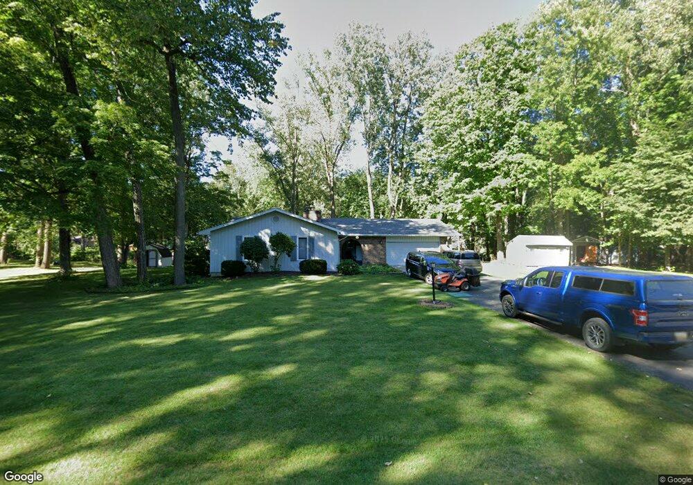
564 Schaeffer Dr Coldwater, MI 49036
Estimated Value: $319,000 - $428,000
3
Beds
3
Baths
2,040
Sq Ft
$184/Sq Ft
Est. Value
About This Home
This home is located at 564 Schaeffer Dr, Coldwater, MI 49036 and is currently estimated at $374,380, approximately $183 per square foot. 564 Schaeffer Dr is a home located in Branch County with nearby schools including Coldwater High School, St. Charles Borromeo Catholic School, and Branch County Christian School.
Ownership History
Date
Name
Owned For
Owner Type
Purchase Details
Closed on
Oct 10, 2005
Sold by
Mayers Ann E and Morgan Diane Marshall
Bought by
Fronczak Michael Patrick and Fronczak Linda Kay
Current Estimated Value
Home Financials for this Owner
Home Financials are based on the most recent Mortgage that was taken out on this home.
Original Mortgage
$130,000
Interest Rate
5.98%
Mortgage Type
Fannie Mae Freddie Mac
Purchase Details
Closed on
May 13, 2003
Sold by
Curry William L and Curry Coleen A
Bought by
Mayers Ann E and Morgan Diane Marsh
Home Financials for this Owner
Home Financials are based on the most recent Mortgage that was taken out on this home.
Original Mortgage
$188,802
Interest Rate
5.93%
Mortgage Type
Fannie Mae Freddie Mac
Create a Home Valuation Report for This Property
The Home Valuation Report is an in-depth analysis detailing your home's value as well as a comparison with similar homes in the area
Home Values in the Area
Average Home Value in this Area
Purchase History
| Date | Buyer | Sale Price | Title Company |
|---|---|---|---|
| Fronczak Michael Patrick | $210,000 | Chicago Title | |
| Mayers Ann E | $197,500 | -- | |
| Mayers Ann E | $197,500 | Lighthouse Title |
Source: Public Records
Mortgage History
| Date | Status | Borrower | Loan Amount |
|---|---|---|---|
| Closed | Fronczak Michael Patrick | $130,000 | |
| Previous Owner | Mayers Ann E | $188,802 |
Source: Public Records
Tax History
| Year | Tax Paid | Tax Assessment Tax Assessment Total Assessment is a certain percentage of the fair market value that is determined by local assessors to be the total taxable value of land and additions on the property. | Land | Improvement |
|---|---|---|---|---|
| 2025 | $2,310 | $217,400 | $0 | $0 |
| 2024 | $21 | $210,000 | $0 | $0 |
| 2023 | $840 | $157,000 | $0 | $0 |
| 2022 | $2,114 | $151,100 | $0 | $0 |
| 2020 | -- | $108,300 | $0 | $0 |
| 2019 | -- | $88,000 | $0 | $0 |
| 2018 | -- | $93,800 | $0 | $0 |
| 2017 | -- | $94,300 | $0 | $0 |
| 2016 | -- | $101,400 | $0 | $0 |
| 2015 | -- | $70,900 | $0 | $0 |
| 2014 | -- | $65,600 | $0 | $0 |
| 2013 | -- | $76,200 | $0 | $0 |
Source: Public Records
Map
Nearby Homes
- 571 Scott Dr
- 586 Schaeffer Dr
- 29 Tanner Run
- 22 Lynn Ct
- 0 Lott Rd
- VL N Fiske Rd
- 410 N Fiske Rd
- 222 Randy Dr
- 231 Aaron Dr
- 0 N Willowbrook Rd Unit 24042121
- 732 Cambridge Dr
- 40 Balfour Dr
- 50 Bennett St
- 175 N Michigan Ave Unit 99
- 175 N Michigan Ave Unit 193
- 175 N Michigan Ave Unit 179
- 175 N Michigan Ave Unit 60
- 175 N Michigan Ave Unit 199
- 175 N Michigan Ave Unit 137
- 175 N Michigan Ave Unit 200
Your Personal Tour Guide
Ask me questions while you tour the home.