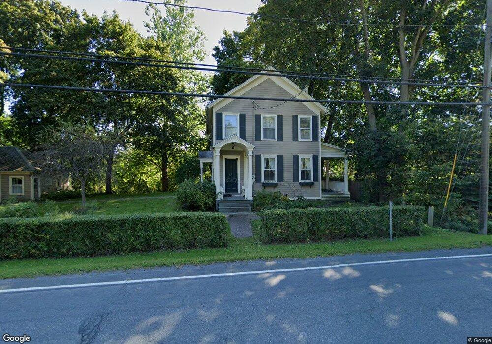
564 State Route 23b Hudson, NY 12534
Estimated Value: $563,456 - $1,079,000
3
Beds
2
Baths
1,920
Sq Ft
$452/Sq Ft
Est. Value
About This Home
This home is located at 564 State Route 23b, Hudson, NY 12534 and is currently estimated at $868,364, approximately $452 per square foot. 564 State Route 23b is a home with nearby schools including Montgomery C. Smith Elementary School and Hudson Senior High School.
Ownership History
Date
Name
Owned For
Owner Type
Purchase Details
Closed on
Jan 27, 2022
Sold by
Armstrong David W
Bought by
Eaton Margaret
Current Estimated Value
Home Financials for this Owner
Home Financials are based on the most recent Mortgage that was taken out on this home.
Original Mortgage
$288,326
Outstanding Balance
$266,643
Interest Rate
3.22%
Mortgage Type
Purchase Money Mortgage
Estimated Equity
$601,721
Purchase Details
Closed on
Sep 21, 2007
Sold by
Hanlon John
Bought by
Hanlon Terrence
Create a Home Valuation Report for This Property
The Home Valuation Report is an in-depth analysis detailing your home's value as well as a comparison with similar homes in the area
Home Values in the Area
Average Home Value in this Area
Purchase History
| Date | Buyer | Sale Price | Title Company |
|---|---|---|---|
| Eaton Margaret | $288,326 | None Available | |
| Hanlon Terrence | -- | Michael Howard |
Source: Public Records
Mortgage History
| Date | Status | Borrower | Loan Amount |
|---|---|---|---|
| Open | Eaton Margaret | $288,326 |
Source: Public Records
Tax History Compared to Growth
Tax History
| Year | Tax Paid | Tax Assessment Tax Assessment Total Assessment is a certain percentage of the fair market value that is determined by local assessors to be the total taxable value of land and additions on the property. | Land | Improvement |
|---|---|---|---|---|
| 2024 | $6,822 | $350,000 | $36,200 | $313,800 |
| 2023 | $7,500 | $350,000 | $36,200 | $313,800 |
| 2022 | $7,181 | $350,000 | $36,200 | $313,800 |
| 2021 | $6,015 | $350,000 | $36,200 | $313,800 |
| 2020 | $3,239 | $165,000 | $35,000 | $130,000 |
| 2019 | -- | $165,000 | $35,000 | $130,000 |
| 2018 | $3,505 | $165,000 | $35,000 | $130,000 |
| 2017 | $3,566 | $165,000 | $35,000 | $130,000 |
| 2016 | $3,481 | $165,000 | $35,000 | $130,000 |
| 2015 | -- | $165,000 | $35,000 | $130,000 |
| 2014 | -- | $165,000 | $35,000 | $130,000 |
Source: Public Records
Map
Nearby Homes
- 10 Stone Mill Rd
- 538 State Route 23b
- 590 New York 23b
- 19 Rivenburg Ln
- 33 Maple Ave
- 6154 New York 9h
- 58 van Deusen Rd
- 24 van Wyck Ln
- 5988 New York 9h
- 8 Hover Rd
- 49 Macintosh Dr
- 24 New York 217
- 601 Spook Rock Rd
- 51 Patroon St
- 274 Fingar Rd
- 135 Millbrook Rd
- 0 Fingar Rd
- 166 Fingar Rd
- 316 Fish And Game Rd
- 9 E Marie St
- 564 New York 23b
- 5 Stone Mill Rd
- 565 New York 23b
- 559 State Route 23b
- 565 State Route 23b
- 571 New York 23b
- 572 State Route 23b
- 10 Old Ln
- 7 Old Ln
- 571 State Route 23b
- 5 Old Ln Unit B
- 5 Old Ln
- 549 New York 23b Unit 5
- 549 New York 23b Unit 6
- 549 New York 23b Unit 3
- 549 New York 23b Unit 2
- 549 New York 23b Unit 4
- 549 New York 23b Unit 1
- 549 New York 23b
- 552 State Route 23b