564 W 700 S Unit 406 Pleasant Grove, UT 84062
--
Bed
--
Bath
5,690
Sq Ft
0.28
Acres
About This Home
This home is located at 564 W 700 S Unit 406, Pleasant Grove, UT 84062. 564 W 700 S Unit 406 is a home located in Utah County with nearby schools including Mount Mahogany School, Pleasant Grove Junior High School, and Pleasant Grove High School.
Ownership History
Date
Name
Owned For
Owner Type
Purchase Details
Closed on
Dec 6, 2018
Sold by
Warr Head Properties Llc
Bought by
Rjf Pgu Llc
Home Financials for this Owner
Home Financials are based on the most recent Mortgage that was taken out on this home.
Original Mortgage
$846,000
Outstanding Balance
$745,344
Interest Rate
4.8%
Mortgage Type
Construction
Purchase Details
Closed on
Mar 30, 2018
Sold by
Skyline Holdings Group Llc
Bought by
Warr Head Properties Llc
Home Financials for this Owner
Home Financials are based on the most recent Mortgage that was taken out on this home.
Original Mortgage
$3,810,000
Interest Rate
4.32%
Mortgage Type
Commercial
Purchase Details
Closed on
Mar 2, 2018
Sold by
Warr Head Properties Llc
Bought by
Skykline Holdings Group Llc
Home Financials for this Owner
Home Financials are based on the most recent Mortgage that was taken out on this home.
Original Mortgage
$3,810,000
Interest Rate
4.32%
Mortgage Type
Commercial
Create a Home Valuation Report for This Property
The Home Valuation Report is an in-depth analysis detailing your home's value as well as a comparison with similar homes in the area
Home Values in the Area
Average Home Value in this Area
Purchase History
| Date | Buyer | Sale Price | Title Company |
|---|---|---|---|
| Rjf Pgu Llc | -- | Gt Title Services | |
| Warr Head Properties Llc | -- | Accommodation | |
| Skykline Holdings Group Llc | -- | Gt Title Services | |
| Skyline Holdingse Group Llc | -- | Gt Title Services |
Source: Public Records
Mortgage History
| Date | Status | Borrower | Loan Amount |
|---|---|---|---|
| Open | Rjf Pgu Llc | $846,000 | |
| Previous Owner | Skyline Holdingse Group Llc | $3,810,000 |
Source: Public Records
Tax History Compared to Growth
Tax History
| Year | Tax Paid | Tax Assessment Tax Assessment Total Assessment is a certain percentage of the fair market value that is determined by local assessors to be the total taxable value of land and additions on the property. | Land | Improvement |
|---|---|---|---|---|
| 2025 | $7,134 | $1,165,500 | $138,000 | $1,027,500 |
| 2024 | $6,681 | $832,500 | $0 | $0 |
| 2023 | $6,681 | $816,200 | $0 | $0 |
| 2022 | $6,706 | $815,200 | $134,300 | $680,900 |
| 2021 | $6,006 | $611,400 | $134,300 | $477,100 |
| 2020 | $6,126 | $611,400 | $134,300 | $477,100 |
| 2019 | $5,360 | $553,200 | $119,400 | $433,800 |
Source: Public Records
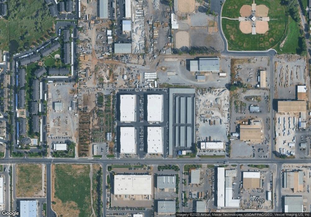
Map
Nearby Homes
- 929 W 670 S Unit 9
- 364 S 700 W
- 963 W 670 S Unit 20
- 584 S 980 W Unit 58
- 278 S 740 W
- 851 W 310 S
- 1434 W Watson Ln
- 169 W 200 S
- 91 E 700 S
- 611 N Briarwood Ln
- 121 E 700 S
- Washington Farmhouse Plan at Anderson Farms
- 1362 W Valley Dr
- 574 N Cornstalk Ln
- 575 N Buffalo Grass Ln
- 3810 W Valley Dr
- 556 N Cornstalk Ln
- 557 N Buffalo Grass Ln
- 564 N Buffalo Grass Ln Unit 1250
- 554 N Buffalo Grass Ln
- 564 W 700 S Unit 404
- 564 W 700 S Unit 204
- 564 W 700 S Unit 205
- 564 W 700 S Unit 202
- 564 W 700 S Unit 103
- 564 W 700 S Unit 102
- 564 W 700 S Unit 403
- 564 W 700 S Unit 402
- 564 W 700 S
- 564 W 700 S Unit 401
- 564 W 700 S Unit 303
- 650 W 700 S
- 630 W 700 S
- 630 W 700 S
- 550 W 700 S
- 502 W 700 S
- 1199 W 700 S
- 345 W 700 S
- 763 W 700 S Unit A1108
- 754 W 700 S