564 W Side Rd Trevett, ME 04571
Estimated Value: $849,000 - $2,232,000
3
Beds
3
Baths
1,045
Sq Ft
$1,205/Sq Ft
Est. Value
About This Home
This home is located at 564 W Side Rd, Trevett, ME 04571 and is currently estimated at $1,259,717, approximately $1,205 per square foot. 564 W Side Rd is a home with nearby schools including Boothbay Region Elementary School and Boothbay Region High School.
Ownership History
Date
Name
Owned For
Owner Type
Purchase Details
Closed on
Nov 26, 2018
Sold by
Dorr John Est
Bought by
Howison Lee L and Howison Cynthia J
Current Estimated Value
Purchase Details
Closed on
Mar 2, 2015
Sold by
Huckvale Sydney J
Bought by
Dorr John L
Home Financials for this Owner
Home Financials are based on the most recent Mortgage that was taken out on this home.
Original Mortgage
$375,000
Interest Rate
3.66%
Mortgage Type
New Conventional
Create a Home Valuation Report for This Property
The Home Valuation Report is an in-depth analysis detailing your home's value as well as a comparison with similar homes in the area
Home Values in the Area
Average Home Value in this Area
Purchase History
| Date | Buyer | Sale Price | Title Company |
|---|---|---|---|
| Howison Lee L | -- | -- | |
| Dorr John L | -- | -- |
Source: Public Records
Mortgage History
| Date | Status | Borrower | Loan Amount |
|---|---|---|---|
| Previous Owner | Dorr John L | $375,000 |
Source: Public Records
Tax History
| Year | Tax Paid | Tax Assessment Tax Assessment Total Assessment is a certain percentage of the fair market value that is determined by local assessors to be the total taxable value of land and additions on the property. | Land | Improvement |
|---|---|---|---|---|
| 2025 | $7,599 | $627,985 | $369,520 | $258,465 |
| 2024 | $7,128 | $627,985 | $369,520 | $258,465 |
| 2023 | $6,311 | $627,985 | $369,520 | $258,465 |
| 2022 | $5,840 | $627,985 | $369,520 | $258,465 |
| 2021 | $5,997 | $627,985 | $369,520 | $258,465 |
| 2020 | $6,029 | $627,985 | $369,520 | $258,465 |
| 2019 | $5,934 | $627,985 | $369,520 | $258,465 |
| 2018 | $5,840 | $627,985 | $369,520 | $258,465 |
| 2017 | $7,326 | $796,300 | $414,400 | $381,900 |
| 2016 | $7,007 | $796,300 | $414,400 | $381,900 |
| 2015 | $6,968 | $796,300 | $414,400 | $381,900 |
| 2014 | -- | $796,300 | $414,400 | $381,900 |
Source: Public Records
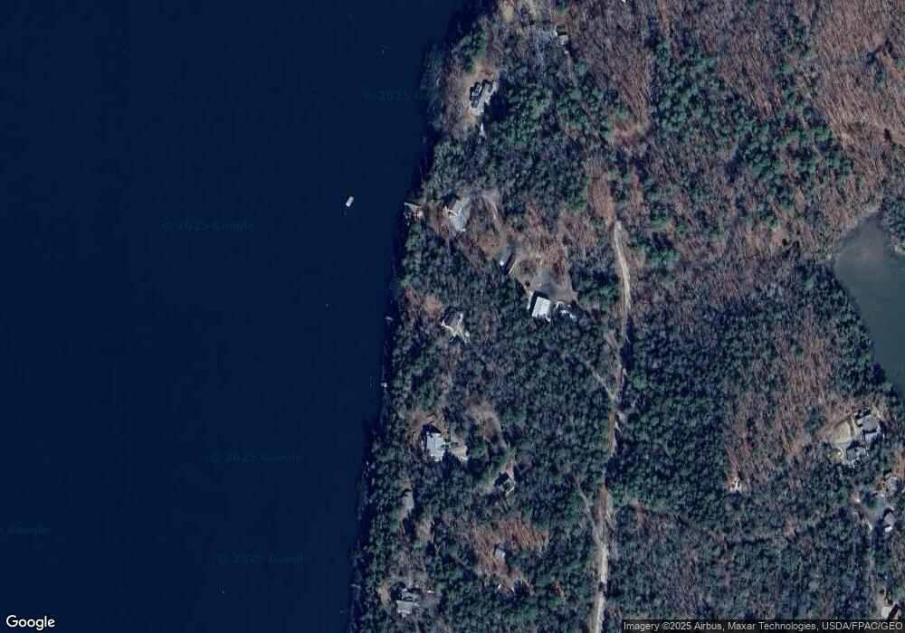
Map
Nearby Homes
- 13 Porcupine Ln
- 576 Back River Rd
- 23 Sunny Acres Ln
- 0 Maine 144
- M4 L12.30B McCarty Cove Rd
- 575 Main Rd
- 22-E Peaceful Acres
- 30 Taylor Rd
- 96 Forest Haven Rd
- 27 Doggett Rd
- 50 Bunchberry Ln
- 670 Wiscasset Rd
- 5 Hillside Place Unit 2
- 0 Shadis Rd
- 664 Boothbay Rd
- 1 Willis Point Rd
- 85 Shady Ln
- 8 Wawenock Rd
- 91 Lord Rd
- Lot 1 Sanders Rd
- 564 W Side Rd
- 570 W Side Rd
- 556 W Side Rd
- 548 W Side Rd
- 544 W Side Rd
- 535 W Side Rd
- 0 Higbee Ln Unit 784552
- 0 Higbee Ln Unit 750166
- 0 Higbee Ln Unit 1143912
- 0 Higbee Ln Unit 1275623
- 0 Higbee Ln Unit 1275625
- 0 Higbee Ln Unit 1293188
- 0 Higbee Ln Unit 1293184
- 0 Higbee Ln Unit 1331548
- 563 W Side Rd
- 563 W Side Rd
- 547 W Side Rd
- 34 Partridge Rd
- 36 Stone Point Ln
- 47 Partridge Rd
Your Personal Tour Guide
Ask me questions while you tour the home.