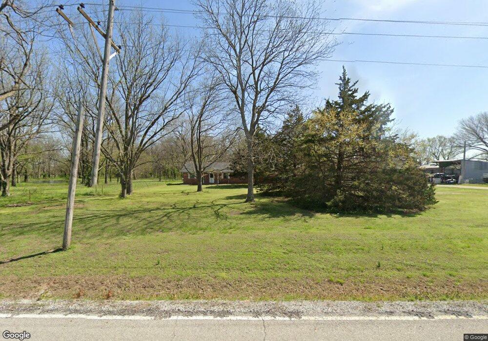
56401 E 150 Rd Fairland, OK 74343
Estimated Value: $218,000 - $289,280
3
Beds
2
Baths
1,856
Sq Ft
$137/Sq Ft
Est. Value
About This Home
This home is located at 56401 E 150 Rd, Fairland, OK 74343 and is currently estimated at $253,570, approximately $136 per square foot. 56401 E 150 Rd is a home located in Ottawa County with nearby schools including Fairland Elementary School and Fairland High School.
Ownership History
Date
Name
Owned For
Owner Type
Purchase Details
Closed on
Aug 17, 2018
Sold by
Blankenship Ernest A and Blankenship Carolyn Sue
Bought by
Hickey Tyler A
Current Estimated Value
Home Financials for this Owner
Home Financials are based on the most recent Mortgage that was taken out on this home.
Original Mortgage
$133,000
Outstanding Balance
$115,264
Interest Rate
4.5%
Mortgage Type
New Conventional
Estimated Equity
$138,306
Create a Home Valuation Report for This Property
The Home Valuation Report is an in-depth analysis detailing your home's value as well as a comparison with similar homes in the area
Purchase History
| Date | Buyer | Sale Price | Title Company |
|---|---|---|---|
| Hickey Tyler A | $140,000 | Ottawa County Abstract & Tit |
Source: Public Records
Mortgage History
| Date | Status | Borrower | Loan Amount |
|---|---|---|---|
| Open | Hickey Tyler A | $133,000 |
Source: Public Records
Tax History
| Year | Tax Paid | Tax Assessment Tax Assessment Total Assessment is a certain percentage of the fair market value that is determined by local assessors to be the total taxable value of land and additions on the property. | Land | Improvement |
|---|---|---|---|---|
| 2025 | $1,629 | $18,984 | $1,853 | $17,131 |
| 2024 | $1,629 | $18,984 | $1,853 | $17,131 |
| 2023 | $1,629 | $18,578 | $1,853 | $16,725 |
| 2022 | $1,595 | $17,694 | $1,853 | $15,841 |
| 2021 | $1,447 | $16,851 | $1,853 | $14,998 |
| 2020 | $1,274 | $16,049 | $1,853 | $14,196 |
| 2019 | $1,285 | $15,960 | $1,842 | $14,118 |
| 2018 | $560 | $6,880 | $1,373 | $5,507 |
| 2017 | $454 | $6,552 | $1,357 | $5,195 |
| 2016 | $460 | $6,552 | $671 | $5,881 |
| 2015 | $484 | $6,240 | $760 | $5,480 |
| 2014 | $467 | $6,552 | $671 | $5,881 |
Source: Public Records
Map
Nearby Homes
- 14701 S 560 Rd
- 16901 S Highway 125
- 805 23rd Ave SW
- 2325 J St SW
- 2202 G St SW
- 0 E 130 Rd Unit 22-974
- 1101 22nd Place SW
- 1025 22nd Ave SW
- 344 Stauffer St
- 2040 J St SW
- 2105 L St SW
- 13 Quannah Dr
- 0 E 180 Rd
- 2042 M St SW
- 2122 P St SW
- 2027 P St SW
- 59300 E 170 Rd
- 398 E Church Ave
- 301 E Church Ave
- 16 E Church Ave
- 15545 S Hwy 125
- 56601 E 150 Rd
- 56595 E 150 Rd
- 56600 E 150 Rd
- 14700 S 560 Rd
- 15220 S 560 Rd
- 15201 S 560 Rd
- 15101 S 560 Rd
- 14507 S Reider
- 14495 Reider
- 14902 S Highway 125
- 15501 S 560 Rd
- 55750 E 150 Rd
- 15200 S Highway 125
- 150 E E Rd
- 56860 E 145 Rd
- 14503 S Spangler Dr
- 0 S Spangler Dr
- 56880 E 145 Rd
- 57151 E 150 Rd
Your Personal Tour Guide
Ask me questions while you tour the home.