5641 Old MacDonald Way Lenoir, NC 28645
Estimated Value: $237,000 - $277,808
3
Beds
2
Baths
1,456
Sq Ft
$176/Sq Ft
Est. Value
About This Home
This home is located at 5641 Old MacDonald Way, Lenoir, NC 28645 and is currently estimated at $256,452, approximately $176 per square foot. 5641 Old MacDonald Way is a home located in Caldwell County with nearby schools including Oak Hill Elementary, Dudley Shoals Elementary School, and William Lenoir Middle School.
Ownership History
Date
Name
Owned For
Owner Type
Purchase Details
Closed on
Oct 16, 2019
Sold by
Reid Steven D and Reid Frances M
Bought by
Ward Tonya R
Current Estimated Value
Home Financials for this Owner
Home Financials are based on the most recent Mortgage that was taken out on this home.
Original Mortgage
$104,500
Outstanding Balance
$70,021
Interest Rate
3.7%
Mortgage Type
New Conventional
Estimated Equity
$186,431
Create a Home Valuation Report for This Property
The Home Valuation Report is an in-depth analysis detailing your home's value as well as a comparison with similar homes in the area
Home Values in the Area
Average Home Value in this Area
Purchase History
| Date | Buyer | Sale Price | Title Company |
|---|---|---|---|
| Ward Tonya R | $110,000 | -- |
Source: Public Records
Mortgage History
| Date | Status | Borrower | Loan Amount |
|---|---|---|---|
| Open | Ward Tonya R | $104,500 |
Source: Public Records
Tax History Compared to Growth
Tax History
| Year | Tax Paid | Tax Assessment Tax Assessment Total Assessment is a certain percentage of the fair market value that is determined by local assessors to be the total taxable value of land and additions on the property. | Land | Improvement |
|---|---|---|---|---|
| 2025 | $942 | $215,300 | $48,800 | $166,500 |
| 2024 | $942 | $120,500 | $41,200 | $79,300 |
| 2023 | $906 | $120,500 | $41,200 | $79,300 |
| 2022 | $806 | $109,100 | $41,200 | $67,900 |
| 2021 | $806 | $109,100 | $41,200 | $67,900 |
| 2020 | $711 | $93,900 | $38,600 | $55,300 |
| 2019 | $711 | $93,900 | $38,600 | $55,300 |
| 2018 | $454 | $93,900 | $0 | $0 |
| 2017 | $454 | $93,900 | $0 | $0 |
| 2016 | $453 | $93,900 | $0 | $0 |
| 2015 | $424 | $93,900 | $0 | $0 |
| 2014 | $424 | $93,900 | $0 | $0 |
Source: Public Records
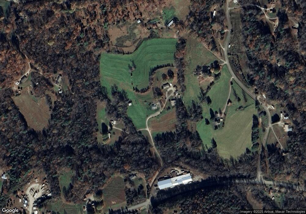
Map
Nearby Homes
- 3086 Taylorsville Rd
- Sheriff's Rd
- 2910 Taylorsville Rd
- 0000 Sheriffs Rd
- 1277 Brush Mountain Rd
- 000 Union Baptist Rd
- 0 Union Baptist Rd Unit 2 CAR4293069
- 0 Union Baptist Rd Unit 1 CAR4291121
- 2660 Taylorsville Rd
- 7227 & 7229 N Carolina 90
- 4375 Fox Rd
- 1154 Woodrow Place
- 6500 Duck Creek Rd
- 0 Scout Rd
- 2482 Holman Ridge Ct
- 2805 H T Rd
- 3750 Rabbits Run Place
- 3325 Eagle Heights Cir
- 4449 Temple Hill Church Rd
- Lot 1 McRary Creek Rd
- 5650 Old MacDonald Way
- 5656 Old MacDonald Way
- 5625 Old MacDonald Way
- 1061 Brush Mountain Rd
- 1069 Brush Mountain Rd
- 5609 Old MacDonald Way
- 3095 Taylorsville Rd
- 1073 Brush Mountain Rd
- 1079 Brush Mountain Rd
- 6.06 Acres Taylorsville Rd
- 1370 Malibu Ln
- 1056 Brush Mountain Rd
- 1025 Brush Mountain Rd
- 1091 Brush Mountain Rd
- 1040 Brush Mountain Rd
- 3080 Taylorsville Rd
- 3049 Taylorsville Rd
- 1036 Brush Mountain Rd
- 0 Brush Mountain Rd
- 000 Brush Mountain Rd