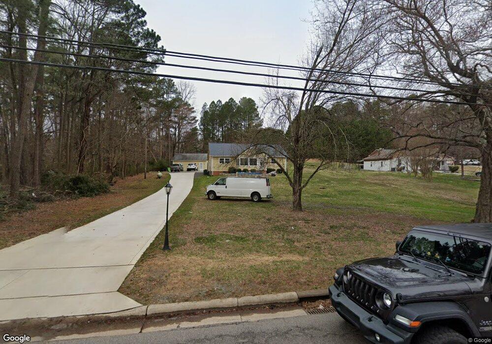
5643 N Roxboro Rd Durham, NC 27712
Estimated Value: $301,917 - $361,000
3
Beds
2
Baths
1,450
Sq Ft
$234/Sq Ft
Est. Value
About This Home
This home is located at 5643 N Roxboro Rd, Durham, NC 27712 and is currently estimated at $339,229, approximately $233 per square foot. 5643 N Roxboro Rd is a home located in Durham County with nearby schools including Eno Valley Elementary, George L Carrington Middle, and Northern High School.
Ownership History
Date
Name
Owned For
Owner Type
Purchase Details
Closed on
Oct 17, 2000
Sold by
Hobby Sheila R and Roberts Danny W
Bought by
Villeda Julio R and Villeda Sandra L
Current Estimated Value
Home Financials for this Owner
Home Financials are based on the most recent Mortgage that was taken out on this home.
Original Mortgage
$108,440
Outstanding Balance
$39,660
Interest Rate
7.96%
Mortgage Type
Purchase Money Mortgage
Estimated Equity
$299,569
Create a Home Valuation Report for This Property
The Home Valuation Report is an in-depth analysis detailing your home's value as well as a comparison with similar homes in the area
Home Values in the Area
Average Home Value in this Area
Purchase History
| Date | Buyer | Sale Price | Title Company |
|---|---|---|---|
| Villeda Julio R | $114,500 | -- |
Source: Public Records
Mortgage History
| Date | Status | Borrower | Loan Amount |
|---|---|---|---|
| Open | Villeda Julio R | $108,440 |
Source: Public Records
Tax History Compared to Growth
Tax History
| Year | Tax Paid | Tax Assessment Tax Assessment Total Assessment is a certain percentage of the fair market value that is determined by local assessors to be the total taxable value of land and additions on the property. | Land | Improvement |
|---|---|---|---|---|
| 2025 | $2,488 | $327,309 | $87,875 | $239,434 |
| 2024 | $1,889 | $168,757 | $32,392 | $136,365 |
| 2023 | $1,778 | $168,757 | $32,392 | $136,365 |
| 2022 | $1,691 | $168,757 | $32,392 | $136,365 |
| 2021 | $1,430 | $168,757 | $32,392 | $136,365 |
| 2020 | $1,400 | $168,757 | $32,392 | $136,365 |
| 2019 | $1,400 | $168,757 | $32,392 | $136,365 |
| 2018 | $1,169 | $130,834 | $23,137 | $107,697 |
| 2017 | $1,156 | $130,834 | $23,137 | $107,697 |
| 2016 | $1,107 | $130,834 | $23,137 | $107,697 |
| 2015 | $1,542 | $155,968 | $27,952 | $128,016 |
| 2014 | $1,542 | $155,968 | $27,952 | $128,016 |
Source: Public Records
Map
Nearby Homes
- 6 Blake Ct
- 209 Barclay Rd
- 19 Northern Way Ct
- 5617 Laurel Crest Dr
- 115 Macwood Dr
- 427 Vivaldi Dr
- 309 Smith Dr
- 404 Goodwin Rd
- 5801 Prioress Dr
- 5805 Prioress Dr
- 5809 Prioress Dr
- 5502 Ripplebrook Rd
- 5620 Birch Dr
- 215 Cheryl Ave
- 5940 N Roxboro Rd
- 512 Crestview Dr
- 5630 Blue Spruce Dr
- 27 Garden Hills Ct
- 17 Ballard Ct
- 5031 Mckittrick Ln
- 5639 N Roxboro Rd
- 5639 Roxboro Rd
- 5701 N Roxboro Rd
- 5633 N Roxboro Rd
- 118 Ridgecrest Cir
- 102 Mickey Cir
- 5640 N Roxboro Rd
- 122 Ridgecrest Cir
- 5623 N Roxboro Rd
- 5702 N Roxboro Rd
- 5713 N Roxboro Rd
- 0 Goldston Ave
- 311 Mickey Cir
- 111 Mickey Cir
- 310 Mickey Cir
- 5717 N Roxboro Rd
- 108 Mickey Cir
- 306 Mickey Cir
- 115 Mickey Cir
- 5611 Goldston Ave