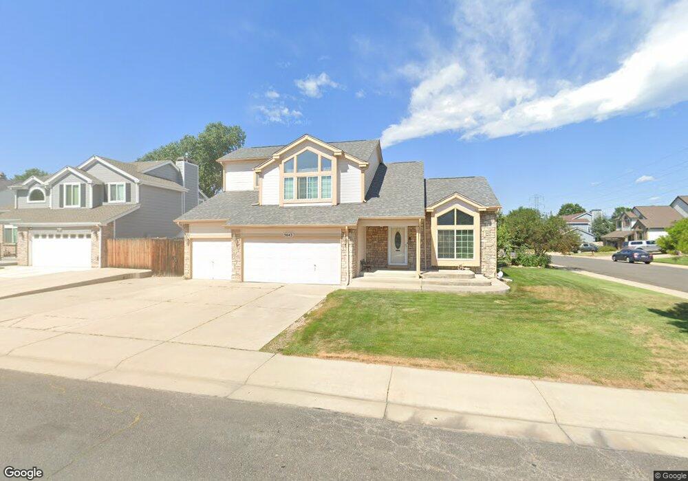
5643 Tabor Ct Arvada, CO 80002
Rainbow Ridge NeighborhoodEstimated Value: $740,000 - $838,000
3
Beds
5
Baths
2,221
Sq Ft
$351/Sq Ft
Est. Value
About This Home
This home is located at 5643 Tabor Ct, Arvada, CO 80002 and is currently estimated at $780,195, approximately $351 per square foot. 5643 Tabor Ct is a home located in Jefferson County with nearby schools including Vanderhoof Elementary School, Drake Junior High School, and Arvada West High School.
Ownership History
Date
Name
Owned For
Owner Type
Purchase Details
Closed on
Jun 30, 2005
Sold by
Ray Daniel K and Ray Anna Marie M
Bought by
Li Miao Qiao
Current Estimated Value
Home Financials for this Owner
Home Financials are based on the most recent Mortgage that was taken out on this home.
Original Mortgage
$292,000
Outstanding Balance
$152,526
Interest Rate
5.67%
Mortgage Type
New Conventional
Estimated Equity
$627,669
Create a Home Valuation Report for This Property
The Home Valuation Report is an in-depth analysis detailing your home's value as well as a comparison with similar homes in the area
Home Values in the Area
Average Home Value in this Area
Purchase History
| Date | Buyer | Sale Price | Title Company |
|---|---|---|---|
| Li Miao Qiao | $365,000 | Stewart Title Of Denver |
Source: Public Records
Mortgage History
| Date | Status | Borrower | Loan Amount |
|---|---|---|---|
| Open | Li Miao Qiao | $292,000 |
Source: Public Records
Tax History Compared to Growth
Tax History
| Year | Tax Paid | Tax Assessment Tax Assessment Total Assessment is a certain percentage of the fair market value that is determined by local assessors to be the total taxable value of land and additions on the property. | Land | Improvement |
|---|---|---|---|---|
| 2024 | $4,185 | $43,142 | $20,065 | $23,077 |
| 2023 | $4,185 | $43,142 | $20,065 | $23,077 |
| 2022 | $3,758 | $38,375 | $14,966 | $23,409 |
| 2021 | $3,820 | $39,480 | $15,397 | $24,083 |
| 2020 | $3,532 | $36,603 | $14,210 | $22,393 |
| 2019 | $3,485 | $36,603 | $14,210 | $22,393 |
| 2018 | $3,249 | $33,178 | $8,046 | $25,132 |
| 2017 | $2,974 | $33,178 | $8,046 | $25,132 |
| 2016 | $2,874 | $30,207 | $6,661 | $23,546 |
| 2015 | $2,630 | $30,207 | $6,661 | $23,546 |
| 2014 | $2,630 | $25,976 | $6,625 | $19,351 |
Source: Public Records
Map
Nearby Homes
- 11873 W 56th Cir
- 11958 W 57th Place
- The SIXTEEN Plan at Sabell - Townhomes
- The NINETEEN Plan at Sabell - Townhomes
- 11924 W 57th Dr
- 11944 W 57th Dr
- 5779 Taft St
- 11201 W 53rd Dr
- 5738 Urban Center
- 5240 Routt Ct Unit B
- 11237 W 55th Ln
- 11205 W 53rd Ln
- 5368 Quail St
- 5293 Quail Way
- 5387 Pierson Ct
- 5738 Vivian St
- Haskins Station Plan at Haskins Station
- Plan 133 at Haskins Station
- Plan 132 at Haskins Station
- Plan 122 at Haskins Station
- 5633 Tabor Ct
- 11834 W 56th Dr
- 11825 W 56th Dr
- 11815 W 56th Dr
- 11844 W 56th Dr
- 5623 Tabor Ct
- 5642 Tabor Ct
- 11835 W 56th Dr
- 5632 Tabor Ct
- 11805 W 56th Dr
- 11845 W 56th Dr
- 5613 Tabor Ct
- 11854 W 56th Dr
- 5622 Tabor Ct
- 11795 W 56th Dr
- 5612 Tabor Ct
- 11855 W 56th Dr
- 11703 W 56th Cir
- 11713 W 56th Cir
- 11785 W 56th Dr