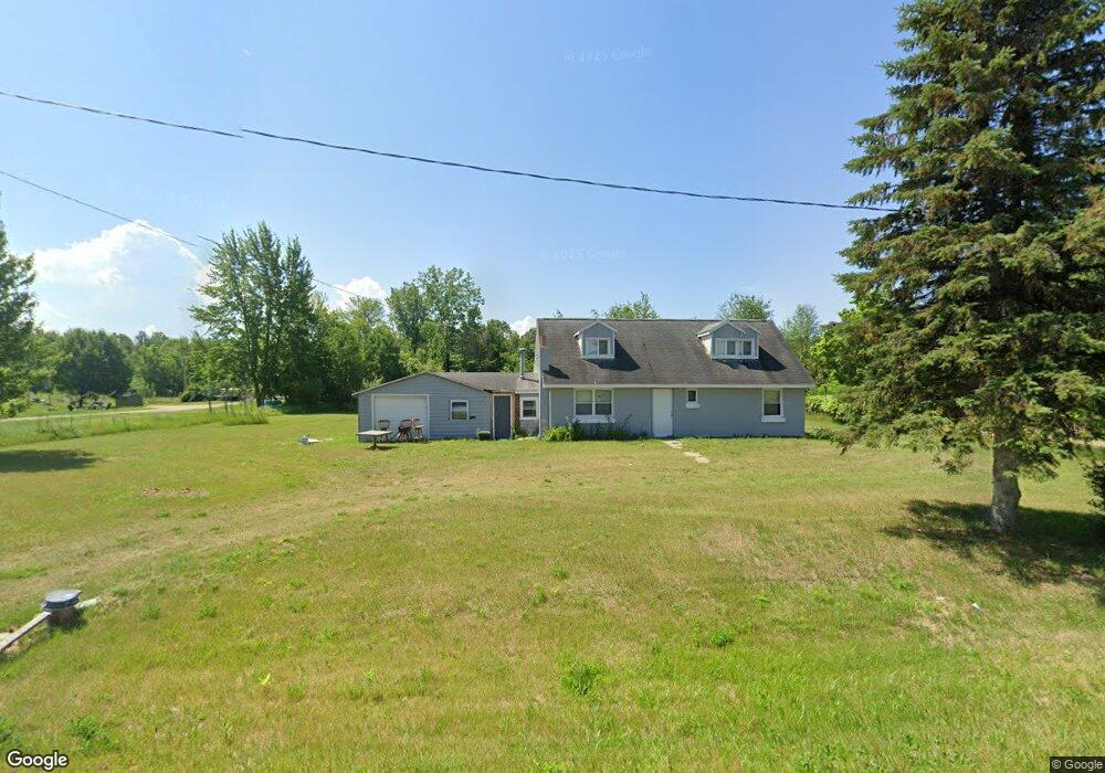
5644 102nd Ave Grand Junction, MI 49056
Estimated Value: $87,635 - $325,000
3
Beds
1
Bath
--
Sq Ft
0.89
Acres
About This Home
This home is located at 5644 102nd Ave, Grand Junction, MI 49056 and is currently estimated at $171,545. 5644 102nd Ave is a home located in Allegan County with nearby schools including Bloomingdale High School.
Ownership History
Date
Name
Owned For
Owner Type
Purchase Details
Closed on
Jun 17, 2024
Sold by
Melvin Judkins and Melvin Katie Brown-Judkins
Bought by
Judkins Kevin
Current Estimated Value
Purchase Details
Closed on
May 28, 2024
Sold by
Melvin Judkins and Melvin Katie Brown-Judkins
Bought by
Judkins Kevin
Purchase Details
Closed on
Aug 27, 2015
Sold by
Judkins Melvin and Brown Judkins Katie
Bought by
Judkins Melvin and Brown Judkins Katie
Purchase Details
Closed on
Mar 10, 2009
Sold by
Lowery Charles and Lowery Jessie
Bought by
Judkins Melvin and Judkins Katie
Purchase Details
Closed on
Feb 6, 2009
Sold by
Judkins Alice
Bought by
Judkins Melvin and Judkins Katie
Create a Home Valuation Report for This Property
The Home Valuation Report is an in-depth analysis detailing your home's value as well as a comparison with similar homes in the area
Home Values in the Area
Average Home Value in this Area
Purchase History
| Date | Buyer | Sale Price | Title Company |
|---|---|---|---|
| Judkins Kevin | -- | None Listed On Document | |
| Judkins Kevin | -- | None Listed On Document | |
| Judkins Melvin | $9,437 | None Available | |
| Judkins Melvin | $11,308 | None Available | |
| Judkins Melvin | -- | None Available |
Source: Public Records
Tax History Compared to Growth
Tax History
| Year | Tax Paid | Tax Assessment Tax Assessment Total Assessment is a certain percentage of the fair market value that is determined by local assessors to be the total taxable value of land and additions on the property. | Land | Improvement |
|---|---|---|---|---|
| 2025 | $446 | $10,700 | $6,200 | $4,500 |
| 2024 | $354 | $11,000 | $6,300 | $4,700 |
| 2023 | $354 | $11,500 | $6,500 | $5,000 |
| 2022 | $354 | $9,000 | $5,600 | $3,400 |
| 2021 | $335 | $7,900 | $5,600 | $2,300 |
| 2020 | $335 | $7,400 | $5,100 | $2,300 |
| 2019 | $328 | $7,600 | $5,100 | $2,500 |
| 2018 | $0 | $8,100 | $4,800 | $3,300 |
| 2017 | $0 | $6,600 | $4,500 | $2,100 |
| 2016 | $0 | $6,600 | $4,300 | $2,300 |
| 2015 | -- | $6,600 | $4,300 | $2,300 |
| 2014 | -- | $7,000 | $4,600 | $2,400 |
| 2013 | -- | $6,700 | $4,300 | $2,400 |
Source: Public Records
Map
Nearby Homes
- V/L N 55th Street-A
- V/L N 55th Street-B
- 305 55th St
- 5341 Baseline Rd
- 0 102nd Ave
- 01401 57th St Unit 5 Acres
- 01401 57th St Unit 11 Acres
- 01401 57th St
- 523 55th St
- V/L .3A County Road 388
- VL 54th St
- 59371 4th Ave Lot Unit WP001
- VL Benny Ct (Private) Unit Parcel 3
- VL Benny Ct (Private) Unit Parcel 2
- Parcel 2 Vl Benny Ct
- 5743 107th Ave
- VL
- Parcel 3 Vl Benny Ct
- VL Cr388
- 5106 105th Ave