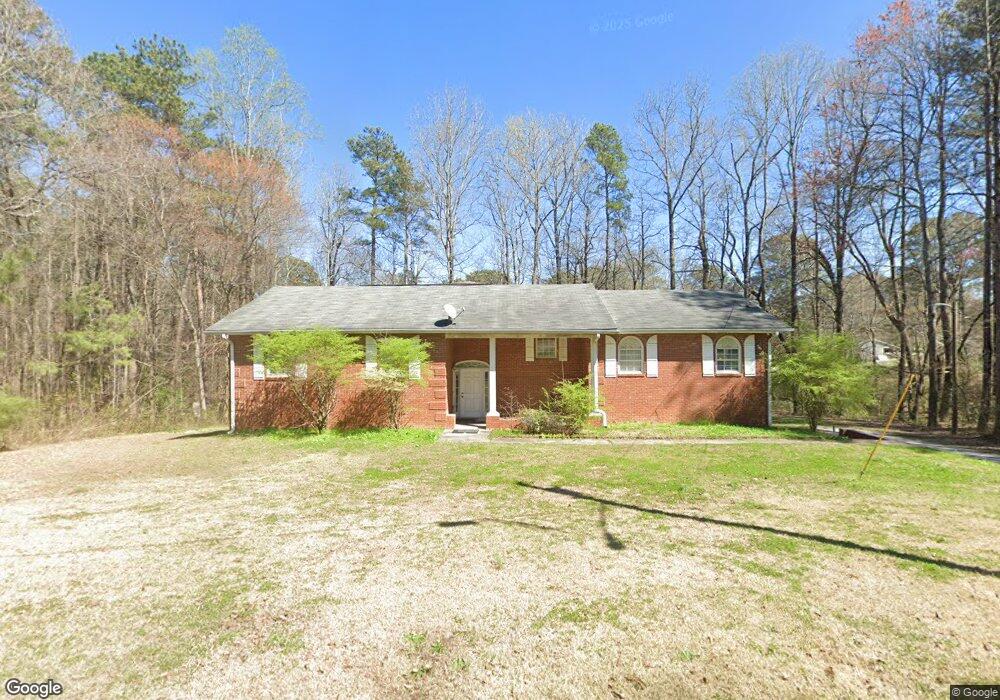
5644 Denson Blvd Morrow, GA 30260
Morrow AreaEstimated Value: $256,000 - $344,000
About This Home
This home is located at 5644 Denson Blvd, Morrow, GA 30260 and is currently estimated at $285,907, approximately $152 per square foot. 5644 Denson Blvd is a home located in Clayton County with nearby schools including Thurgood Marshall Elementary School, Morrow Middle School, and Morrow High School.
Ownership History
We collect this data history from publicly available records. To have your information removed, we recommend requesting removal directly through your county’s website.
Purchase Details
Home Financials for this Owner
Home Financials are based on the most recent Mortgage that was taken out on this home.Purchase History
We collect this data history from publicly available records. To have your information removed, we recommend requesting removal directly through your county’s website.
| Date | Buyer | Sale Price | Title Company |
|---|---|---|---|
| $139,290 | -- |
Mortgage History
We collect this data history from publicly available records. To have your information removed, we recommend requesting removal directly through your county’s website.
| Date | Status | Borrower | Loan Amount |
|---|---|---|---|
| Open | $5,900 | ||
| Closed | $15,720 | ||
| Open | $137,126 |
Tax History
We collect this data history from publicly available records. To have your information removed, we recommend requesting removal directly through your county’s website.
| Year | Tax Paid | Tax Assessment Tax Assessment Total Assessment is a certain percentage of the fair market value that is determined by local assessors to be the total taxable value of land and additions on the property. | Land | Improvement |
|---|---|---|---|---|
| 2025 | $5,275 | $146,720 | $4,000 | $142,720 |
| 2024 | $5,166 | $141,440 | $4,000 | $137,440 |
| 2023 | $4,721 | $130,760 | $4,000 | $126,760 |
| 2022 | $3,262 | $92,120 | $4,000 | $88,120 |
| 2021 | $2,080 | $61,680 | $4,000 | $57,680 |
| 2020 | $1,996 | $58,944 | $4,000 | $54,944 |
| 2019 | $1,809 | $53,613 | $3,600 | $50,013 |
| 2018 | $1,608 | $48,653 | $3,600 | $45,053 |
| 2017 | $1,506 | $46,049 | $3,600 | $42,449 |
| 2016 | $1,498 | $45,865 | $3,600 | $42,265 |
| 2015 | $1,474 | $0 | $0 | $0 |
| 2014 | $1,366 | $43,359 | $3,600 | $39,759 |
Map
- 5712 Attucks Blvd
- 5539 Sapphire Cir
- 5656 Handley Blvd
- 0 Wilson Blvd Unit 10793123
- 0 Wilson Blvd
- 5516 Bryant Blvd
- 0 Thompson Blvd
- 0 Cypress Ave Unit 10793102
- 0 Cypress Ave Unit 7794700
- 2276 Santa fe St Unit 19
- 2316 Santa fe St Unit 5
- LOT 39 Herndon Blvd
- LOT 26,27,28 Herndon Blvd
- 0 Herndon Blvd Unit 7730551
- 5778 Northfield Dr
- 5372 Bryant Blvd
- 5343 Sapphire Cir
- 5356 Creekview Way
- 5356 Creekview Way
- 5338 Creekview Ln
- 5653 Bryant Blvd
- 5669 Bryant Blvd
- 5661 Bryant Blvd
- 5645 Denson Blvd
- 5659 Denson Blvd Unit 15
- 5659 Denson Blvd
- 5637 Denson Blvd
- 5611 Bryant Blvd
- 5625 Denson Blvd
- 0 Bryant Blvd and Poplar Ave Unit LOTS 25 & 24 9036410
- 5683 Bryant Blvd
- LOTS 1 & 2 Bryant Blvd and Oak Ave Unit LOTS 1 & 2
- 2239 Bethune Cir
- 5587 Bryant Blvd
- 5652 Attucks Blvd
- 2251 Bethune Cir
- 5644 Attucks Blvd
- 2263 Bethune Cir
- 5638 Attucks Blvd
- 0 Bethune Cir Unit 12 & 13 7282326
Ask me questions while you tour the home.