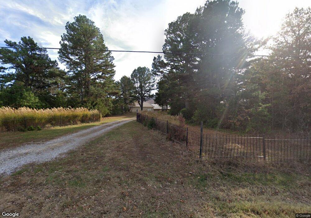
5645 Highway 392 W Harrison, AR 72601
Estimated Value: $239,000 - $423,699
Studio
2
Baths
2,400
Sq Ft
$141/Sq Ft
Est. Value
About This Home
This home is located at 5645 Highway 392 W, Harrison, AR 72601 and is currently estimated at $338,233, approximately $140 per square foot. 5645 Highway 392 W is a home located in Boone County with nearby schools including Forest Heights Elementary School, Harrison Jr. High School, and Harrison High School.
Ownership History
Date
Name
Owned For
Owner Type
Purchase Details
Closed on
Apr 12, 2012
Sold by
Moore Ron and Moore Karen
Bought by
Moore Family Living Trust
Current Estimated Value
Purchase Details
Closed on
Dec 3, 2004
Sold by
Douglas Orville R and Orville Raymond Douglas Living
Bought by
Moore Ronald E and Moore Karen A
Purchase Details
Closed on
Nov 18, 2004
Bought by
Douglas O
Purchase Details
Closed on
Jul 19, 1999
Bought by
Trust
Purchase Details
Closed on
Feb 29, 1996
Bought by
Pearl D Garvin
Create a Home Valuation Report for This Property
The Home Valuation Report is an in-depth analysis detailing your home's value as well as a comparison with similar homes in the area
Purchase History
| Date | Buyer | Sale Price | Title Company |
|---|---|---|---|
| Moore Family Living Trust | -- | None Available | |
| Moore Ronald E | $200,000 | None Available | |
| Douglas O | -- | -- | |
| Trust | -- | -- | |
| Pearl D Garvin | -- | -- |
Source: Public Records
Tax History
| Year | Tax Paid | Tax Assessment Tax Assessment Total Assessment is a certain percentage of the fair market value that is determined by local assessors to be the total taxable value of land and additions on the property. | Land | Improvement |
|---|---|---|---|---|
| 2025 | $1,635 | $36,500 | $2,310 | $34,190 |
| 2024 | $1,635 | $36,500 | $2,310 | $34,190 |
| 2023 | $1,635 | $36,500 | $2,310 | $34,190 |
| 2022 | $1,263 | $36,500 | $2,310 | $34,190 |
| 2021 | $1,263 | $36,500 | $2,310 | $34,190 |
| 2020 | $1,292 | $37,210 | $2,490 | $34,720 |
| 2019 | $1,281 | $37,210 | $2,490 | $34,720 |
| 2018 | $1,239 | $37,210 | $2,490 | $34,720 |
| 2017 | $1,081 | $37,210 | $2,490 | $34,720 |
| 2016 | $1,081 | $31,940 | $2,490 | $29,450 |
| 2015 | $1,361 | $30,380 | $2,800 | $27,580 |
| 2014 | $958 | $28,000 | $2,800 | $25,200 |
Source: Public Records
Map
Nearby Homes
- 6555 Arkansas 392
- 6814 Estes Rd
- 7226 Estes Rd
- 5201A Fox Run Dr
- 5745 Estes Rd
- 0 Creel Rd Unit 1235058
- 0 Creel Rd Unit 1334054
- 5287 Forgeson Rd
- 10.6 acres +/- Creekland Dr
- 4510 Starlite Dr
- 4953 Maris Loop
- 4610 Moonbeam Dr
- 0 Hwy 392 Unit 1313787
- 0000 Hwy 392
- 0 Old Capps Rd
- Lot 7 Peaceful Place
- 172 Stella Ct
- Lot 18 Restore Ridge
- 160 Stella Ct
- 6122 Scenic Valley Dr
- 5644 Highway 392 W
- 5620 Highway 392 W
- 5608 Highway 392 W
- 5608 Arkansas 392
- 5708 Highway 392 W
- 392 W Highway 392 Hwy
- 5560 Castleberry Rd
- 5548 Highway 392 W
- 5414 Rail Rd
- 5492 Rail Rd
- 5458 Highway 392 W
- 5458 Arkansas 392
- 5850 Highway 392 W
- 5850 Highway 392 W
- 5853 Highway 392 W
- 5374 Rail Rd
- 5795 Castleberry Rd
- 4258 Terrapin Rd
- 4012 Lewis Ln
- 5354 Rail Rd
Your Personal Tour Guide
Ask me questions while you tour the home.