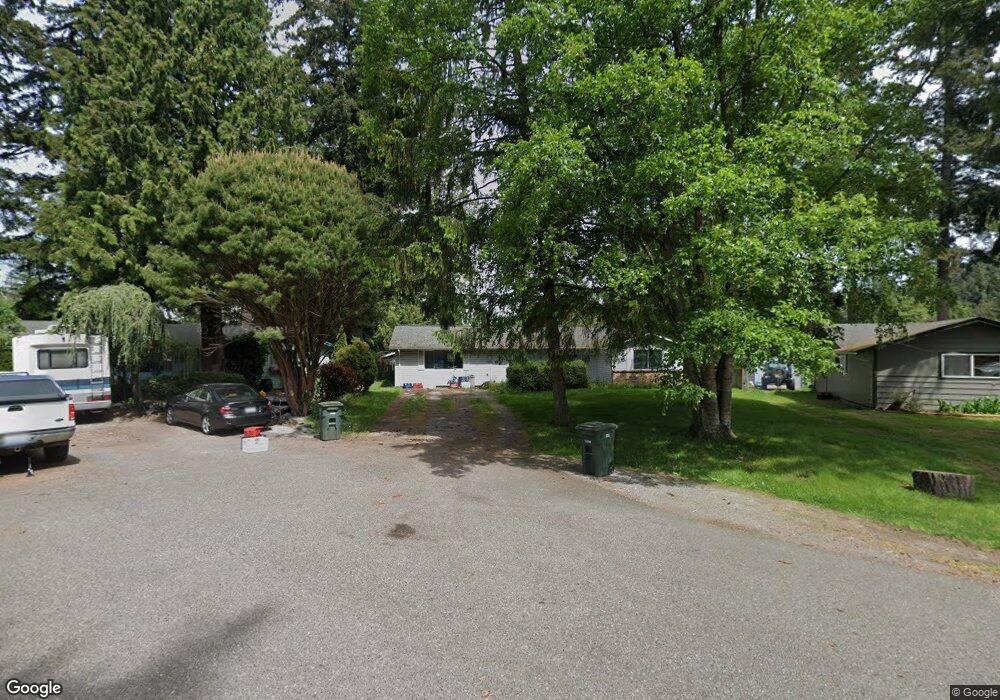
5646 Chestnut Ct Ferndale, WA 98248
Estimated Value: $487,317 - $565,000
3
Beds
1
Bath
1,596
Sq Ft
$322/Sq Ft
Est. Value
About This Home
This home is located at 5646 Chestnut Ct, Ferndale, WA 98248 and is currently estimated at $514,579, approximately $322 per square foot. 5646 Chestnut Ct is a home located in Whatcom County with nearby schools including Cascadia Elementary School, Vista Middle School, and Ferndale High School.
Ownership History
Date
Name
Owned For
Owner Type
Purchase Details
Closed on
Jul 7, 2005
Sold by
Hennigs Donald G and Hennigs Ida
Bought by
Hennigs Derek C
Current Estimated Value
Home Financials for this Owner
Home Financials are based on the most recent Mortgage that was taken out on this home.
Original Mortgage
$150,000
Outstanding Balance
$76,399
Interest Rate
5.58%
Mortgage Type
Fannie Mae Freddie Mac
Estimated Equity
$438,180
Create a Home Valuation Report for This Property
The Home Valuation Report is an in-depth analysis detailing your home's value as well as a comparison with similar homes in the area
Purchase History
| Date | Buyer | Sale Price | Title Company |
|---|---|---|---|
| Hennigs Derek C | $150,280 | Chicago Title Insurance |
Source: Public Records
Mortgage History
| Date | Status | Borrower | Loan Amount |
|---|---|---|---|
| Open | Hennigs Derek C | $150,000 |
Source: Public Records
Tax History
| Year | Tax Paid | Tax Assessment Tax Assessment Total Assessment is a certain percentage of the fair market value that is determined by local assessors to be the total taxable value of land and additions on the property. | Land | Improvement |
|---|---|---|---|---|
| 2025 | $3,273 | $440,997 | $200,790 | $240,207 |
| 2024 | $3,112 | $417,975 | $198,608 | $219,367 |
| 2023 | $3,112 | $435,930 | $225,000 | $210,930 |
| 2022 | $2,971 | $386,465 | $148,834 | $237,631 |
| 2021 | $2,994 | $319,392 | $123,003 | $196,389 |
| 2020 | $2,883 | $295,741 | $113,895 | $181,846 |
| 2019 | $2,305 | $257,582 | $99,199 | $158,383 |
| 2018 | $2,638 | $235,499 | $90,695 | $144,804 |
| 2017 | $2,216 | $206,379 | $79,480 | $126,899 |
| 2016 | $2,092 | $185,034 | $77,168 | $107,866 |
| 2015 | $2,105 | $174,289 | $73,059 | $101,230 |
| 2014 | -- | $170,647 | $71,400 | $99,247 |
| 2013 | -- | $168,167 | $70,000 | $98,167 |
Source: Public Records
Map
Nearby Homes
- 1231 Deer Creek Dr
- 1245 W Axton Rd
- 1300 W Axton Rd
- 5509 Gerard Dr
- 1371 W Axton Rd
- 1072 W 55th Terrace
- 0 W Axton Rd
- 1384 Fernwood Ln
- 5405 Bel West Dr
- 5460 Northwest Dr
- 1396 Woods Point Loop
- 1271 Maralee Ln Unit A
- 1412 Woods Point Loop
- 1411 Woods Point Loop
- 1082 W Smith Rd
- 5338 Shields Rd
- 1333 W Smith Rd
- 5315 Shields Rd
- 1655 Main St
- 5400 Barrett Rd
- 5652 Chestnut Ct
- 5640 Chestnut Ct
- 5647 Pecan Ct
- 5653 Pecan Ct
- 1236 Deer Creek Dr
- 5655 Chestnut Ct
- 5649 Chestnut Ct
- 5643 Chestnut Ct
- 5637 Chestnut Ct
- 1214 Deer Creek Dr
- 5642 Orchard Dr
- 5648 Orchard Dr
- 1227 Deer Creek Dr
- 1235 Deer Creek Dr
- 1223 Deer Creek Dr
- 1254 Deer Creek Dr
- 5636 Orchard Dr
- 1215 Deer Creek Dr
- 1213 Deer Creek Dr
- 5655 Judy Way
Your Personal Tour Guide
Ask me questions while you tour the home.